The Baboquivari Mts. run north to south along the eastern edge of the Tohono O'odham reservation. The mountain range is mostly igneous and is essentially a single main ridge punctuated by Baboquivari Peak.
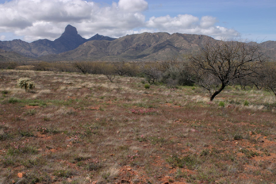
Looking west at the Baboquivaris from the road the goes up to Baboquivari Peak.
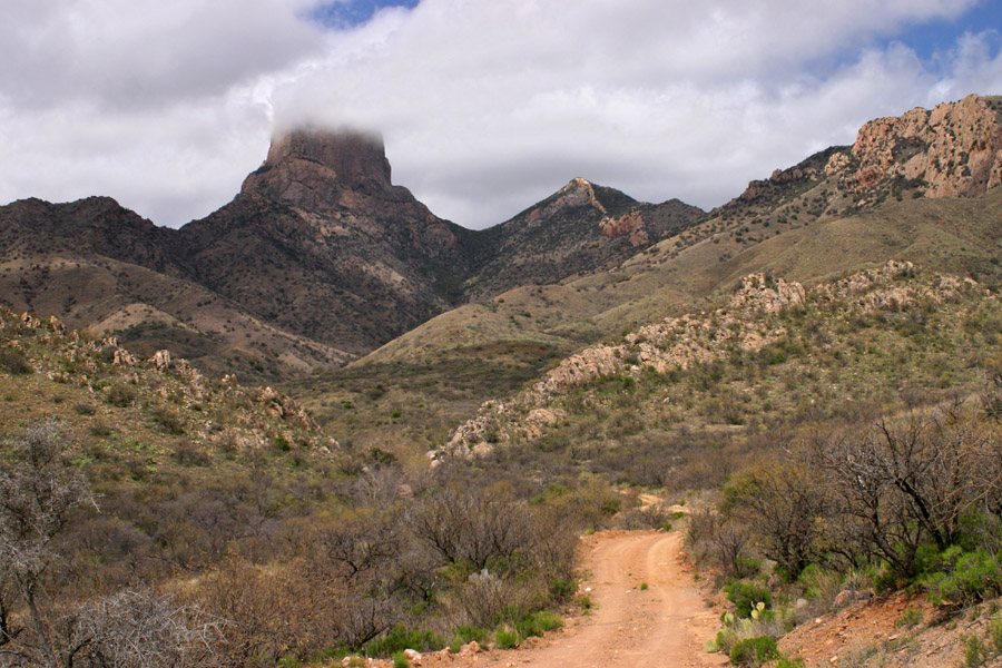
A closer view near the end of the road. The road was flooded lower down, so I had to walk some of the way and didn't have time to get much closer to the peak.