Colorado

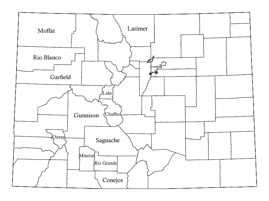
Just click on a county name for a map of that county and links to areas I've photographed in the county. Counties without names are those I haven't taken any pictures in, yet.

Sedgwick County Moffat County Logan County Weld County Routt County Jackson County Larimer County Phillips County Morgan County Yuma County Grand County Washington County Rio Blanco County Boulder County Boulder County Broomfield County Broomfield County Broomfield County Garfield County Adams County Gilpin County Eagle County Summit County Weld County Denver County Denver County Denver County Denver County>
</AREA>
<AREA SHAPE= Denver County Denver County Jefferson County Clear Creek County Arapahoe County Arapahoe County Arapahoe County Arapahoe County Arapahoe County Arapahoe County Jefferson County>
</AREA>
<AREA SHAPE= Lincoln County Elbert County Douglas County Park County Mesa County Lake County Pitkin County Gunnison County Delta County El Paso County Teller County Cheyenne County Chaffee County Montrose County Fremont County Kiowa County Crowley County Pueblo County Saguache County Ouray County Prowers County Bent County Otero County Custer County San Miguel County Hinsdale County Huerfano County San Juan County Mineral County Dolores County Rio Grande County Las Animas County Alamosa County Baca County Montezuma County La Plata County Costilla County Archuleta County Conejos County Colorado map

This image map is modified from the US Census Bureau's website. The Census Bureau original is in the public domain.

Go back: to the site's main index.