The Mangas Mts. are a low, rolling igneous range. I've only been to the area around North Alamocito Canyon and Wagontongue Mountain, for the 2005 Botany Base Camp.

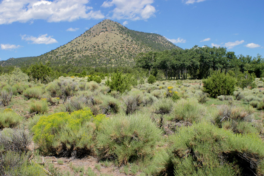
Looking up at Wagontongue Mt. from the south, 27 Aug 2005.

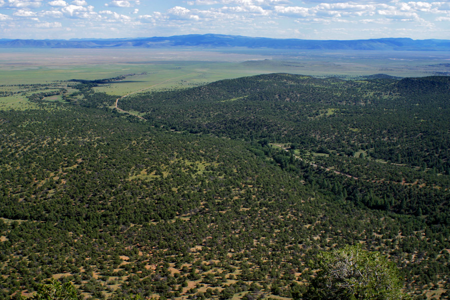
Looking south from Wagontongue Mt. across the southwest end of the Plains of San Augustine, 8/27/05. I think the peak just left of center is Pelona Mountain.