The Carrizozo Malpais is a fairly recent (10,000-20,000 years ago, if I recall correctly) basaltic lava flow just west of Carrizozo. There's a campground on the east side of the flows, called Valley of Fires. There used to be a nice little nature trail there, too, but it's been replaced with an unfortunate monstrosity more like a levee than a trail; I don't think I'll stay at the campground again, now that I know what they use the money for.
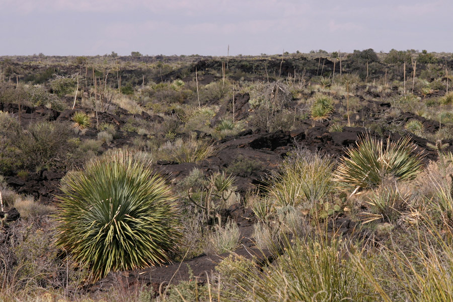
Valley of Fires National Recreational Area near Carrizozo, 3 Oct 2004. Looking northwest from part of the short loop trail.
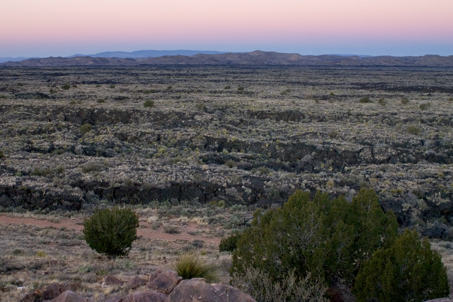
Looking west over the Carrizozo Malpais from the sandstone hill in the Valley of Fires campground. Dawn, 15 Dec 2004. The nearer hills are apparently nameless; the more distant mountains are the Oscura Range.
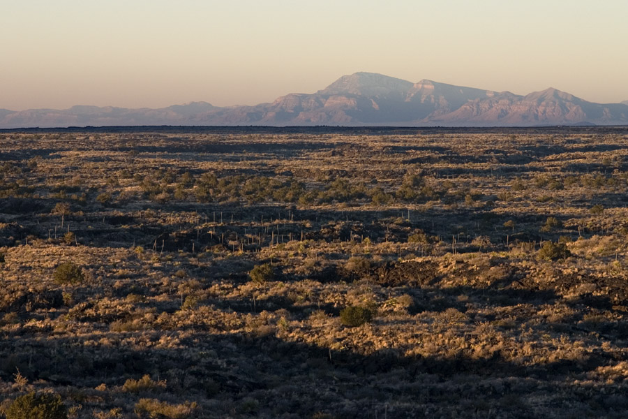
Looking west over the Carrizozo Malpais to Salinas Peak from the sandstone hill in the Valley of Fires campground. Dawn, 15 Dec 2004.
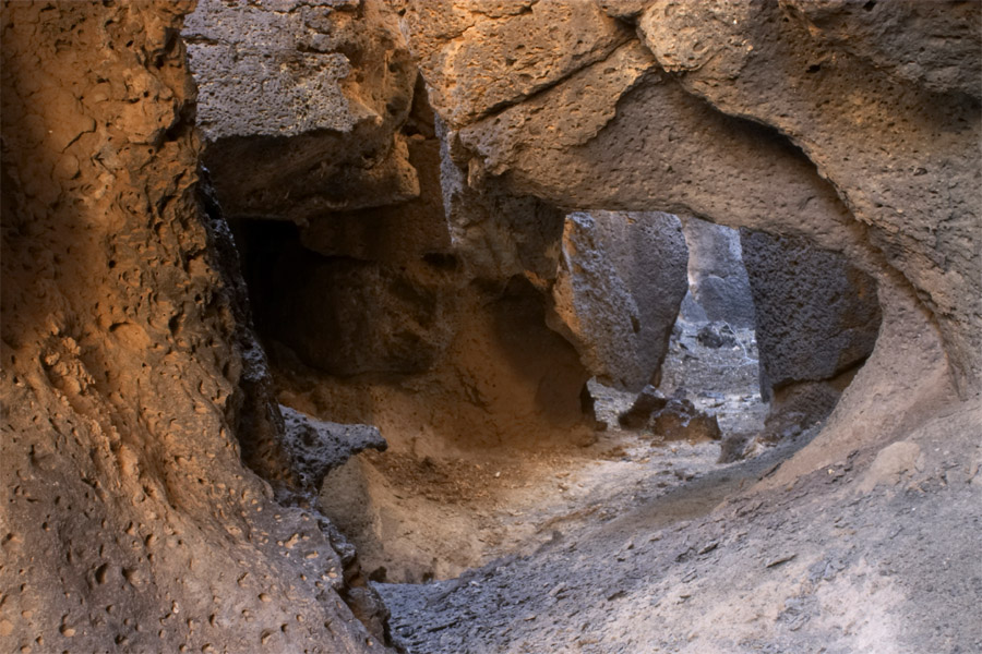
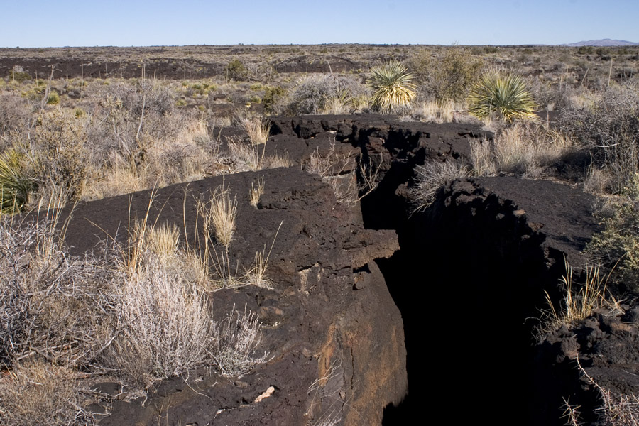
Looking along the bottom of a large, deep crack in the Carrizozo Malpais, 15 Dec 2004.
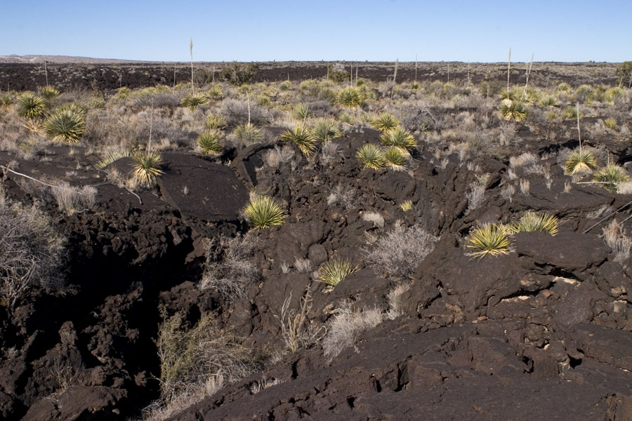
Looking northeast along another large crack in the Carrizozo Malpais, 15 Dec 2004.
More lava & sotol in the Carrizozo Malpais, 15 Dec 2004.
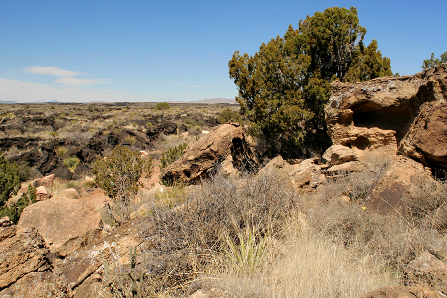
The sandstone hill (or kipuka...) in the malpais at Valley of Fire, 2 Apr 2007.
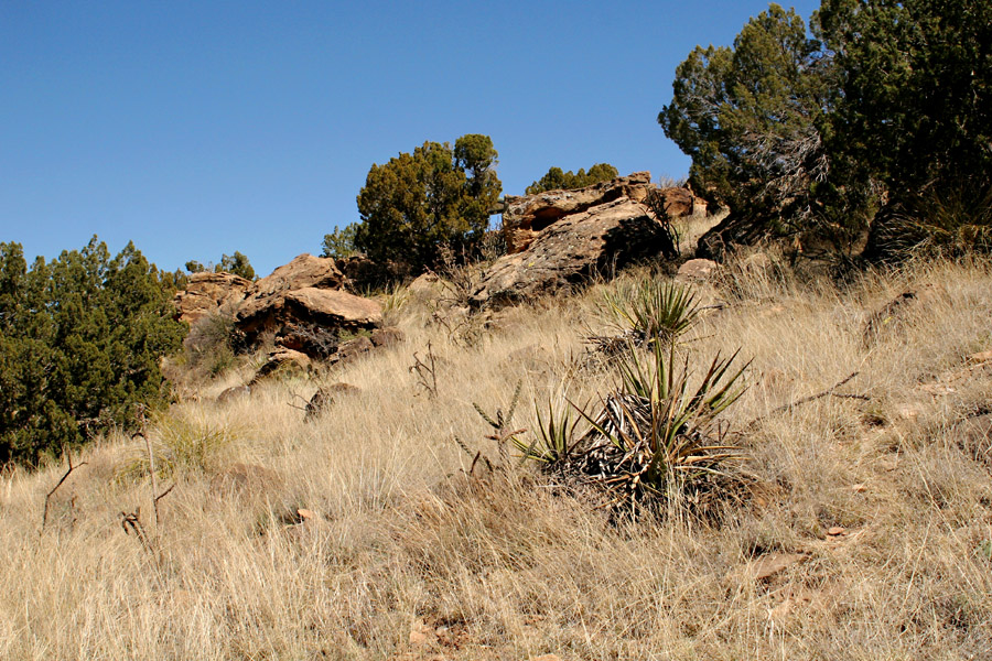
More of the sandstone hill, 2 Apr 2007.