La Junta Point is where the Red River flows into the Rio Grande. There is a campground/picnic area, and a trail down to the Rio Grande.
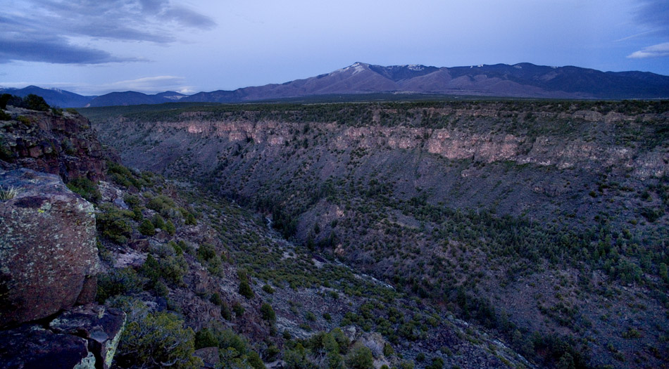
The canyon of the Red River at La Junta Point, dusk, 8 May 2010. Flag Peak is at center.
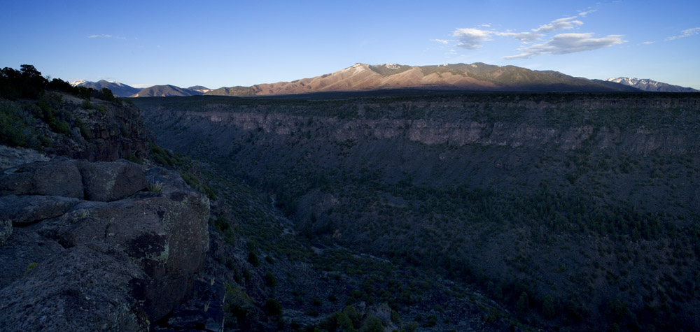
Canyon of the Red River seen from the same point before dusk, 8 May 2010. Flag Peak is at center; at far left is Cabresto Peak; at far right is Pueblo Peak.
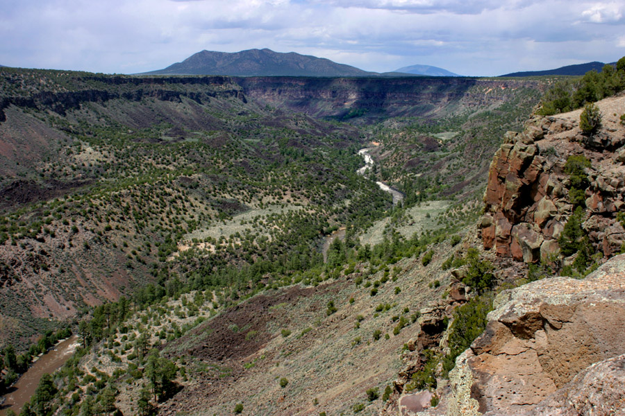
Looking south off La Junta Point, the Red River entering from the left & the Rio Grande from the right, 21 May 2008.
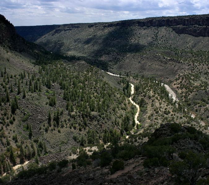
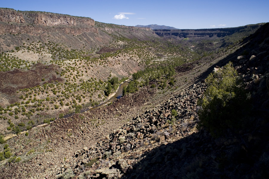
Looking upstream along the Rio Grande Canyon from the trail down from La Junta Point, 21 May 2008. The nearer mountain is Cerro Chiflo; in the distance is Ute Mountain.
Another view upstream, a little lower down the trail, 9 May 2010.
Looking up at La Junta Point from the base, 21 May 2008.
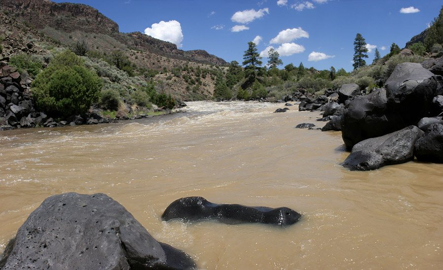
The Rio Grande near the confluence, 21 May 2008.
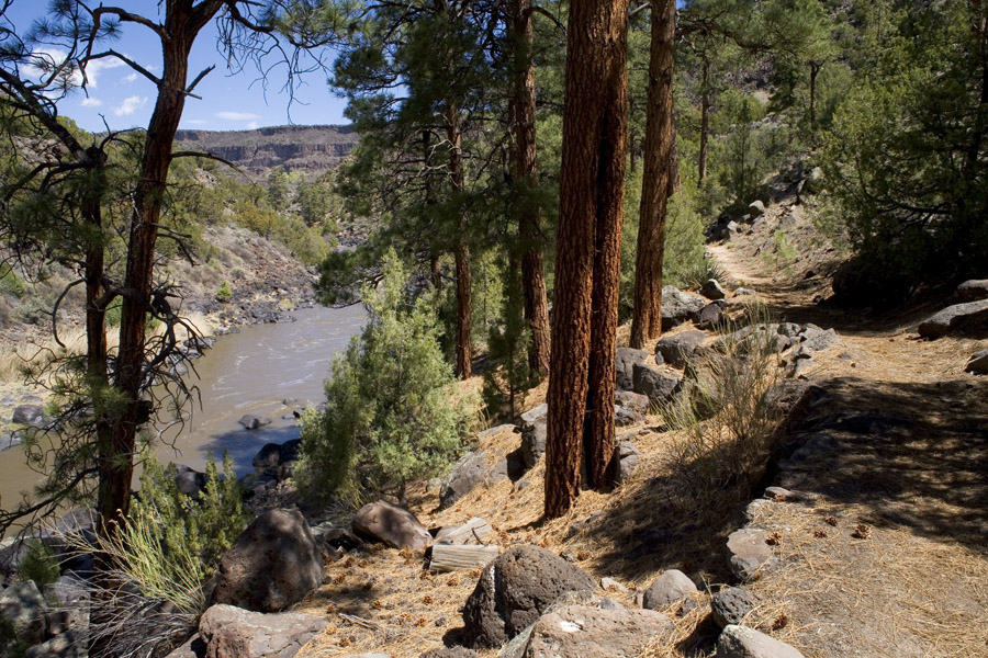
Ponderosa along the trail continuing north along the east side of the Rio Grande from the base of La Junta Point, 9 May 2010.

Another view north along the Rio Grande on the trail north from the base of La Junta, 9 May 2010. The upper spring at Big Arsenic Springs is visible as a spot of bright green trees in the distance.
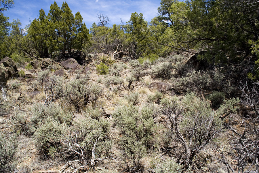
Sagebrush & juniper, further north along the trail, 9 May 2010.
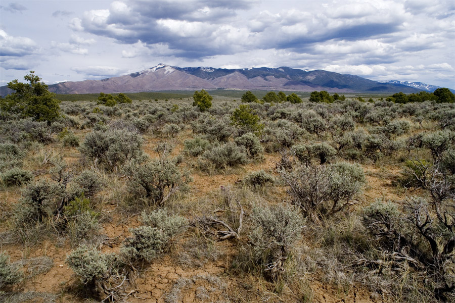
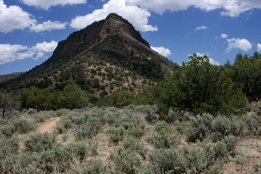
Looking east along the ridgetop north of La Junta Point at Flag Mountain, with Pueblo Peak visible at far right, 9 May 2010.