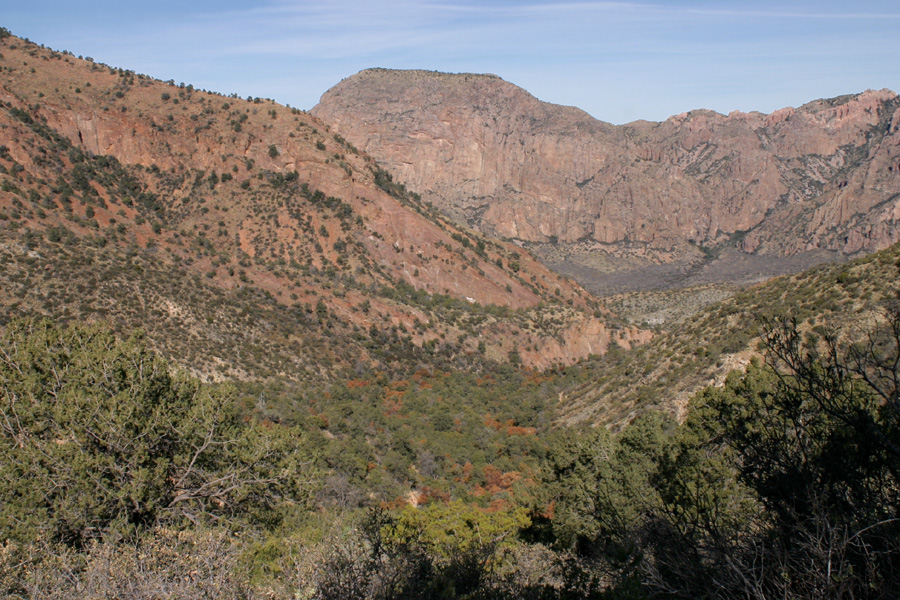
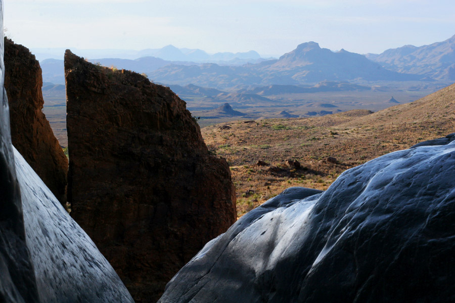
The Chisos Mountains have a high basin toward the north end of the range. This basin holds the campground and lodge, and is drained by a canyon running northwest, ending in a narrow chasm with a sheer drop, called the Window.

Looking down into the Basin from the Laguna Meadows Trail, 12/31/04.

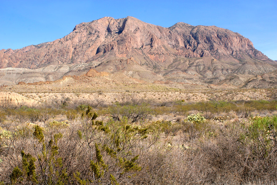
The Chisos Mountains seen from the west, stuck here for lack of a better place, 3/23/06.

Looking out the Window, 3/21/06. The stream through here forms a waterfall through the Window when it has water in it. The mountains are: closest, knobby thing at right is Little Christmas Mountain; lower, to the left of Little Christmas Mt. is Wildhorse Mountain; the further series of rounded peaks just left of center along the horizon are Hen Egg Mt., Packsaddle Mt., and an unnamed peak; furthest out, along the left side of the horizon, is (probably) Bandera Mesa.

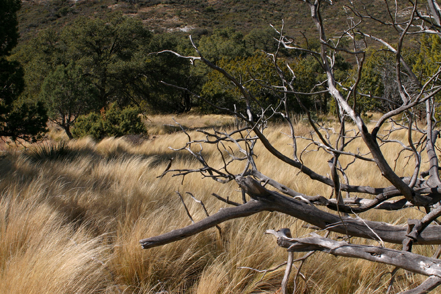
Grassland with Juniper and Stipa at Laguna Meadows, on the way to the South Rim, 12/31/04.