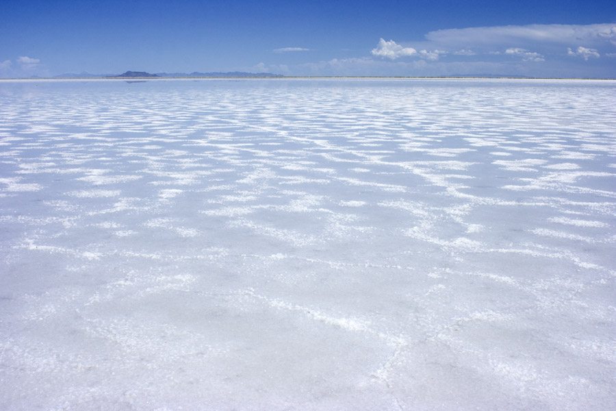
The Bonneville Salt Flats, seen at a rest area near Wendover on the west side of the flats.
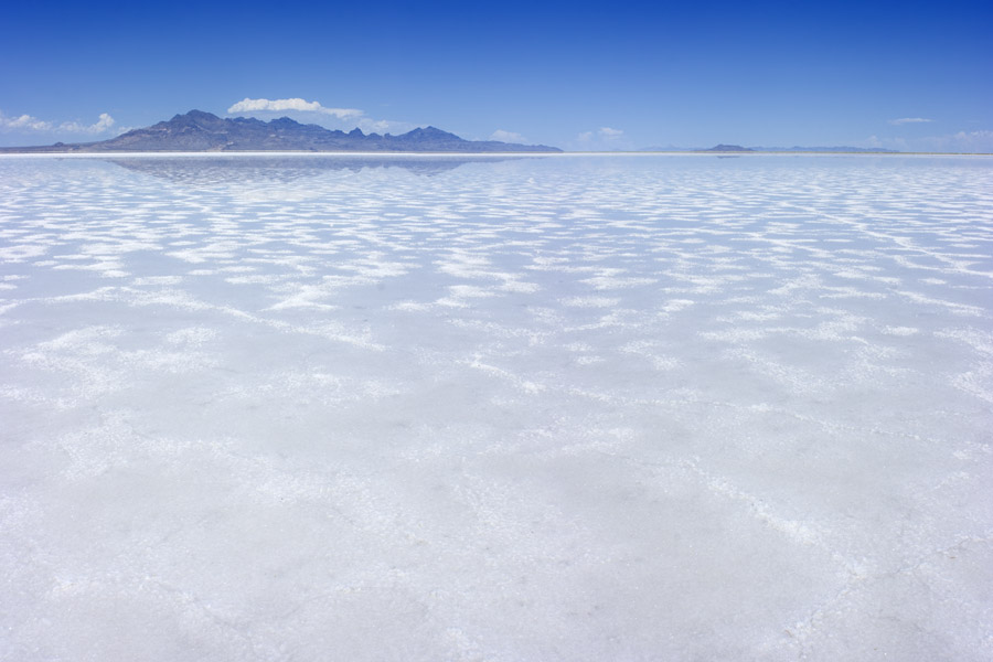
Looking east-northeast across the salt flats, 9 Aug 2008. The nearer mountain is Floating Island, the distant ranges are the Newfoundland Mountains at left and the Lakeside Mountains at right.
Looking north, with the north end of the Silver Island Mountains at left, Floating Island & the Newfoundland Mountains at right, 9 Aug 2008.
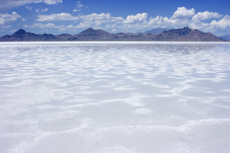
Looking north, with the south end of the Silver Island Mountains and the Pilot Range behind, 9 Aug 2008.