Table Top is a basaltic cuesta in Sonoran Desert National Monument. A trail leads up to the top from the southwest.
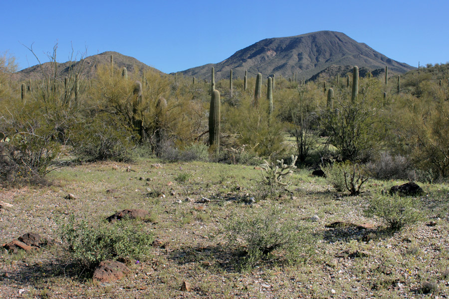
Table Top seen from the lower part of the trail, 10 Mar 2008.
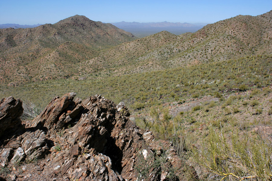
The view west from partway up the west side of Table Top, 10 Mar 2008. The mountains visible are the Sand Tank Mts., with Maricopa Peak at center right and the politically incorrectly named Squaw Tit poking above the ridgeline at left.
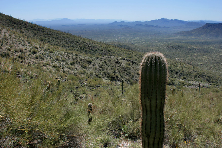
Looking south from the west side of Table Top, 10 Mar 2008. Baboquivari Peak is the distant knob visible about one third of the way across on the left.
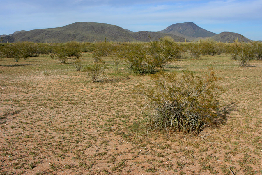
Table Top seen from the road to the trailhead on the southwest side, 10 Mar 2008.
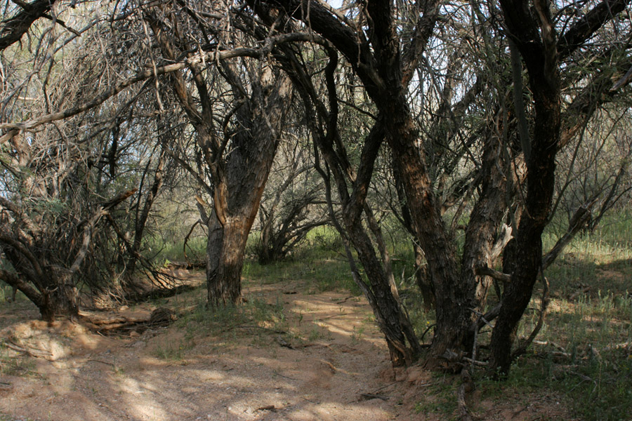
Mesquite bosque at an old stock tank near the road to the Table Top trailhead, adjacent to the above location, 10 Mar 2008.