The Mohawk Dunes are south of I-8 west of the Mohawk Mts. The dune field is widest at its north end, tapering to the south-southeast. The area is usually extremely dry, but I went there during a very wet spring on the 26th and 27th of February, 2005. Yup, February is "spring" out there. The Mohawk Dunes are on the Barry Goldwater Air Force Range, so you need to get a permit in order to go out there.

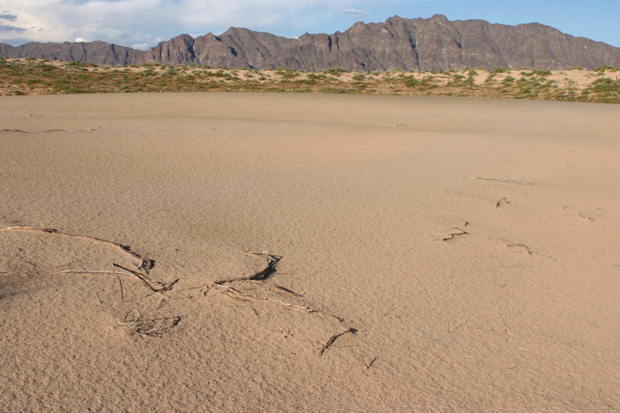
This is the largest plant-free bit of dune I could find, most of the dunes were pretty well vegetated. I need to go back on a dry year to compare. This is the view east, with the Mohawk Mts. in the distance, 2/26/05.

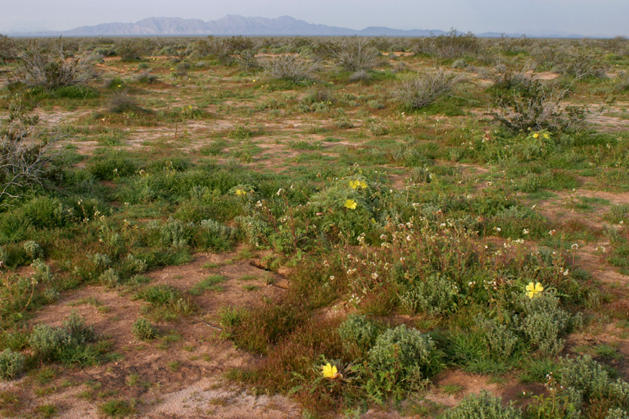
This is what I woke up to on the 27th. Looking north in the creosote flats on the west side of the dunes. My truck is parked just off to the left of the picture. The yellow flowers are Oenothera primiveris, the white one are Camissonia claviformis. Most of the green carpeting the ground through here is a Plantago--probably Plantago ovata but I didn't key it out.

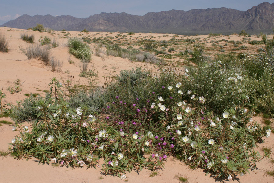
Flowers on the dunes, 2/27/05. Those are the Mohawk Mts. again. The purple flowers are Abronia villosa, the big white ones are Oenothera deltoides. Smaller white flowers on the right are Dimorphocarpa wislizenii.