Views from a hike into the Last Chance Range just south of Last Chance Peak.
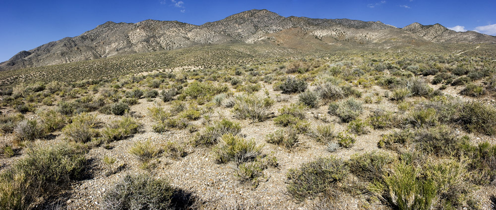
Looking up into the mountains from the bajada, 19 May 2009. Yes, it's supposed to be tilted like that.
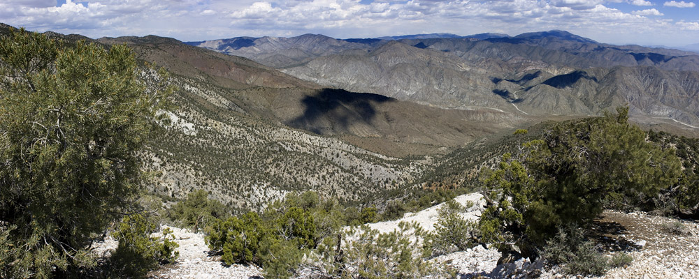
Looking north-northeast from on the hike up, 19 May 2009.
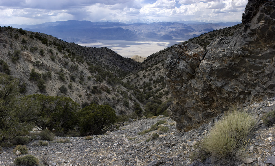
Looking west from the canyon just south of Last Chance Peak, 19 May 2009. The Sierra Nevada are visible in the distance.
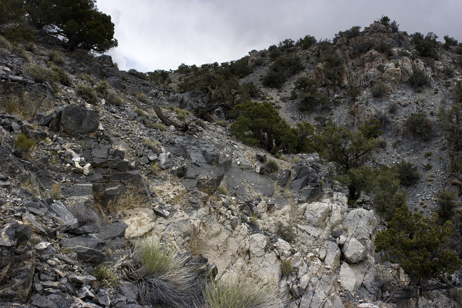
In the canyon south of Last Chance Peak, 19 May 2009.
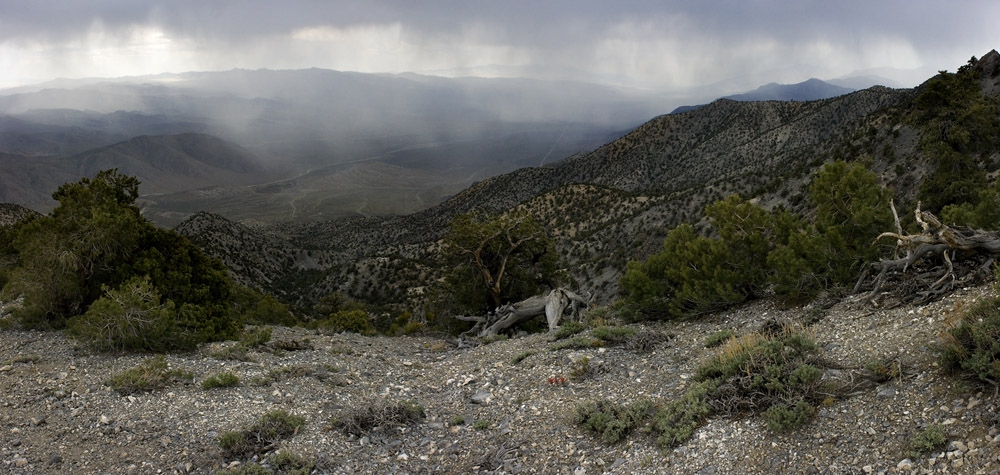
Looking south-southeast from the crest of the Last Chance Range, 19 May 2009. This is the extreme north end of Death Valley.
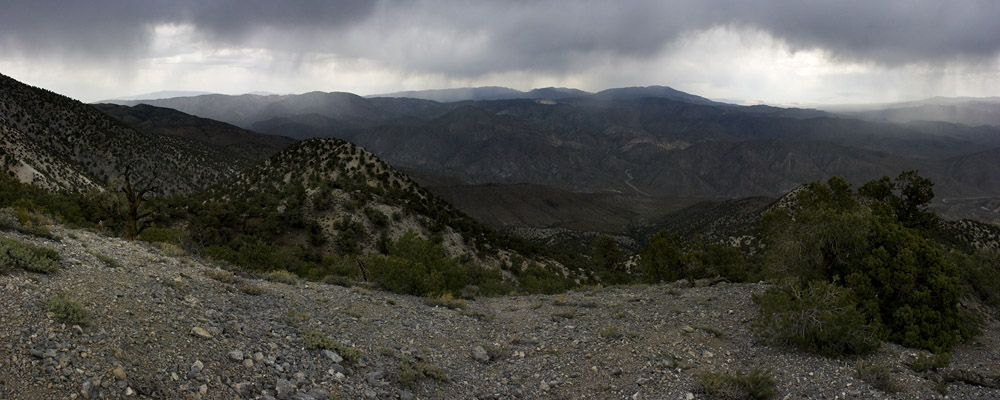
Looking northeast from near the crest of the Last Chance Range, 19 May 2009.