CLM internship 2: more Dermatophyllum!

Greetings,

In my first post, I mentioned going to the Brokeoff Mountains to look for Dermatophyllum guadalupense. Since then, I have digitized some old survey maps for this species and, with Mike Howard, further explored its distribution.

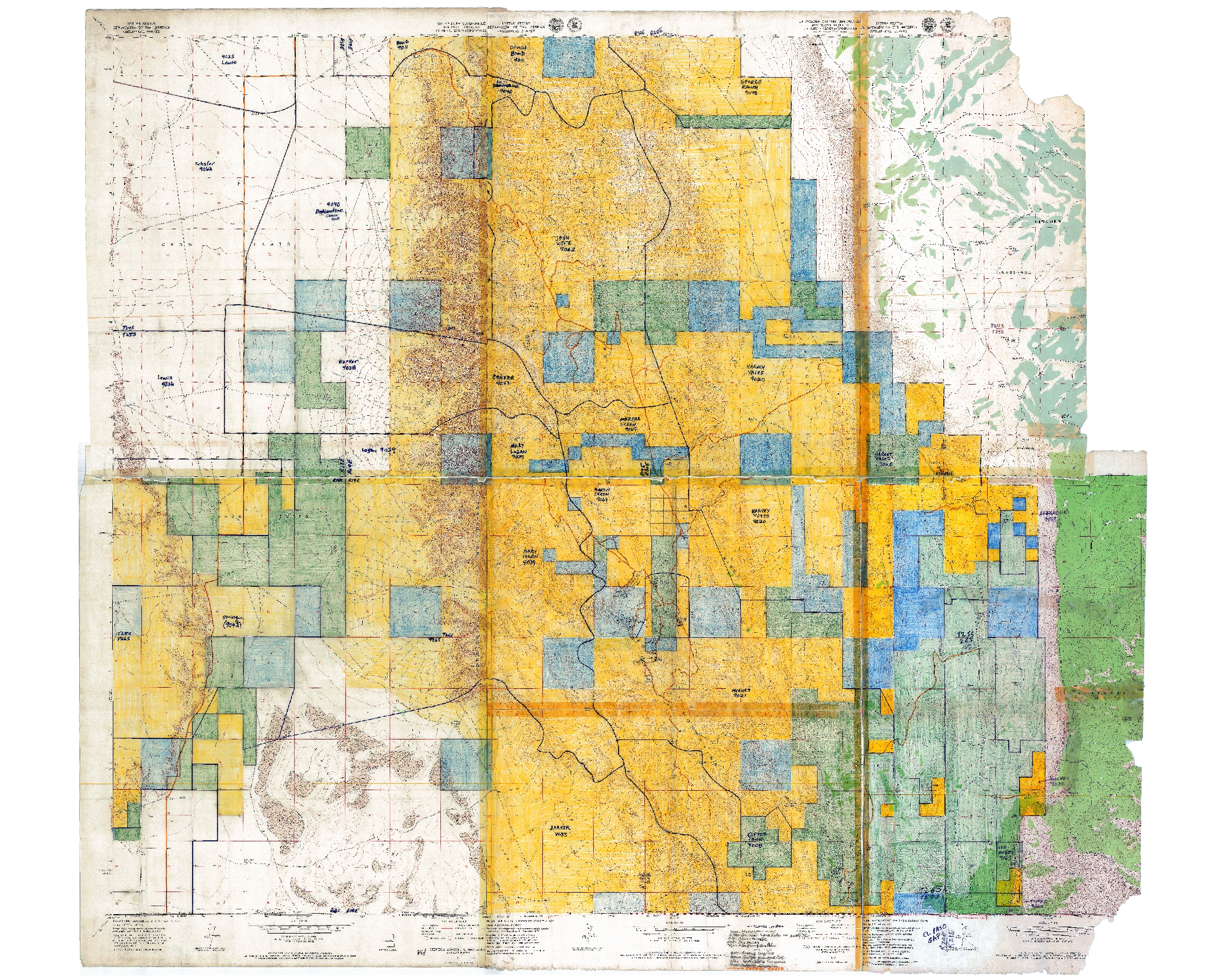
The Las Cruces District Office of the BLM funded some survey work for Dermatophyllum guadalupense in the late 1980’s. This being a while ago, there was no GIS. There were GPS units, barely, but they were big, heavy, expensive, and rarely used by biologists. So plant surveys were done the old-fashioned way. Head outside with USGS topo maps, wander around looking for plants, do your best to match up your wanderings and plant observations with the topos, and write on the maps. So we have an old survey map for Dermatophyllum guadalupense. It’s a set of USGS 1:24,000 topographic maps, cut and taped together to cover the survey area, hand-colored (with crayon, so far as I can tell) to show land ownership, and annotated by hand to show survey routes and locations of plants. Given the modern capabilities of GPS units and GIS software, it is amazing that this approach was state-of-the-art so recently. But, if you knew what you were doing—and the botanist, Phil Clayton, did!—it worked pretty well. So, now, we can scan the map, georeference it, and display it in ArcGIS. Here’s the map, at its full extent:

And here’s a portion of it, zoomed in to show plant locations:

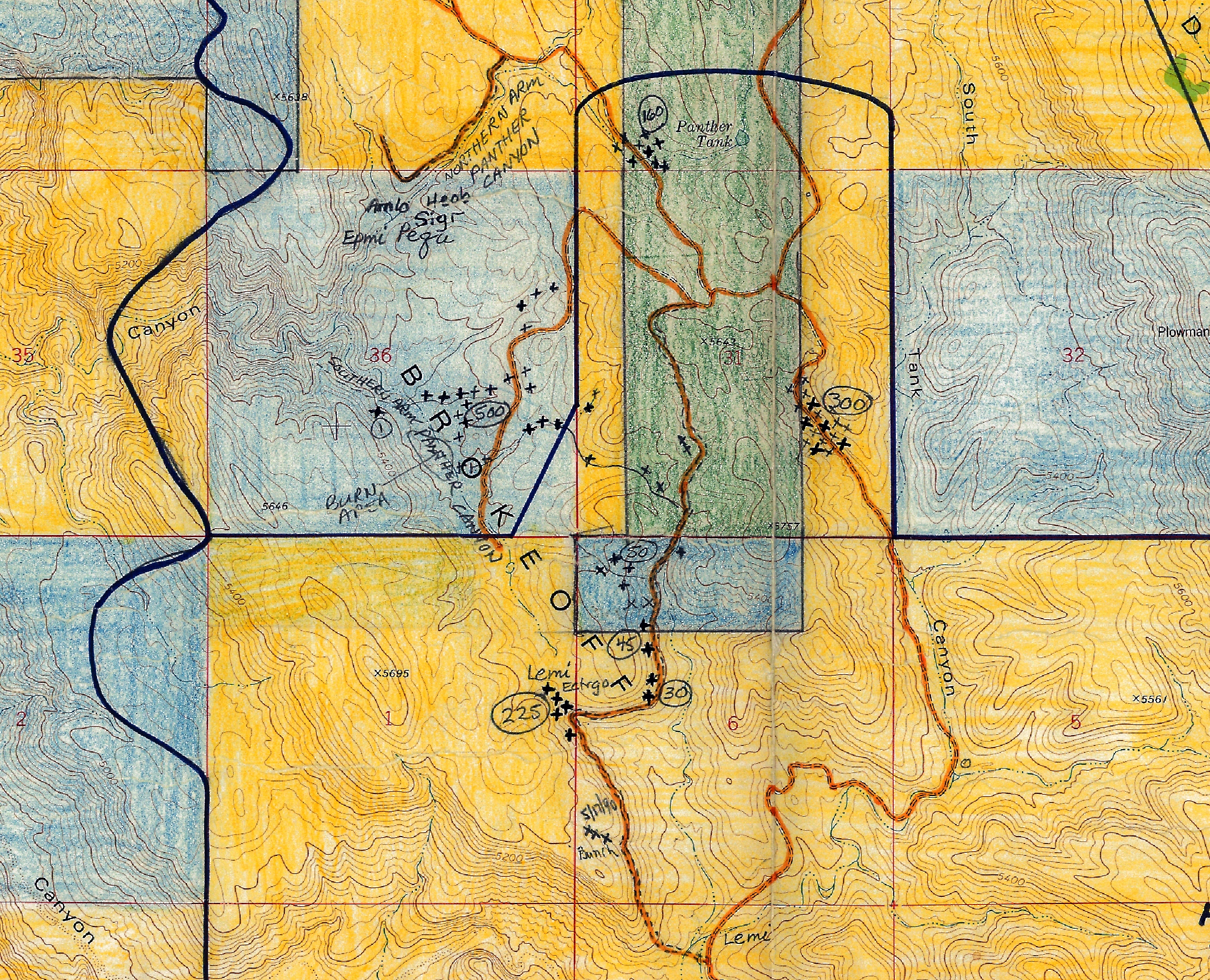
I’ve georeferenced the map, so that it can be displayed in ArcGIS and viewed with other layers. This is a surprisingly straightforward process; basically, you load the scanned image in ArcGIS and then georeference it by clicking on points in the map, then clicking on the same point in a reference layer (for which I used previously scanned and georeferenced USGS topos in the LCDO’s GIS drive—since my reference layer is the same as the scanned map, except for the hand-colored land ownership and plant survey data, this is easy). So now we can look at the old survey map in a GIS context, compare it to aerial imagery, put coordinates on the surveyed plant locations, go outside and know we’re looking at the same place Phil Clayton did 25 years ago, and so on and so forth. Cool!

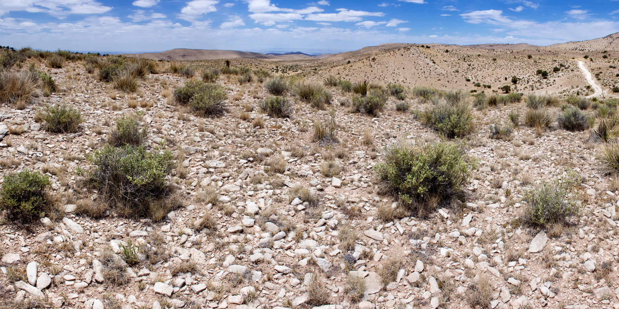
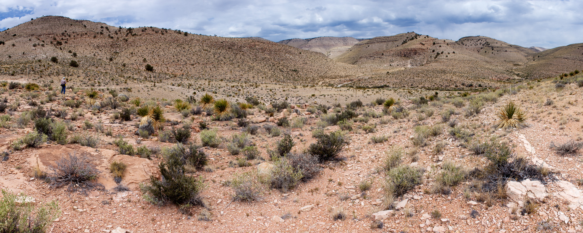
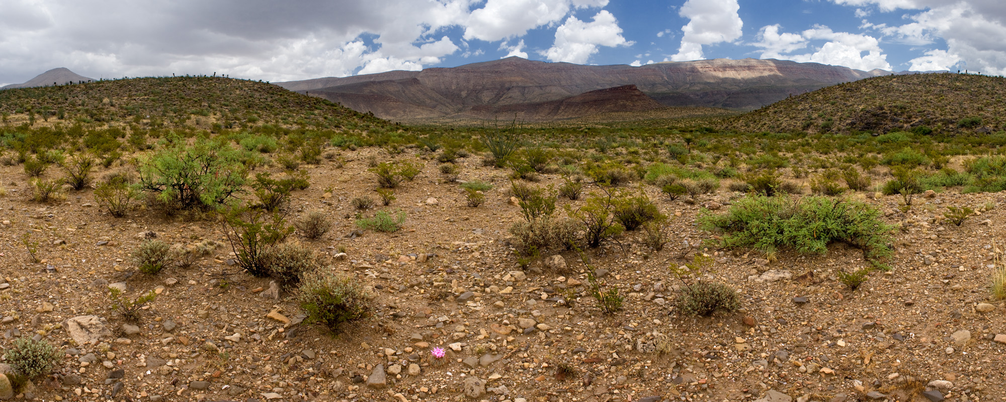
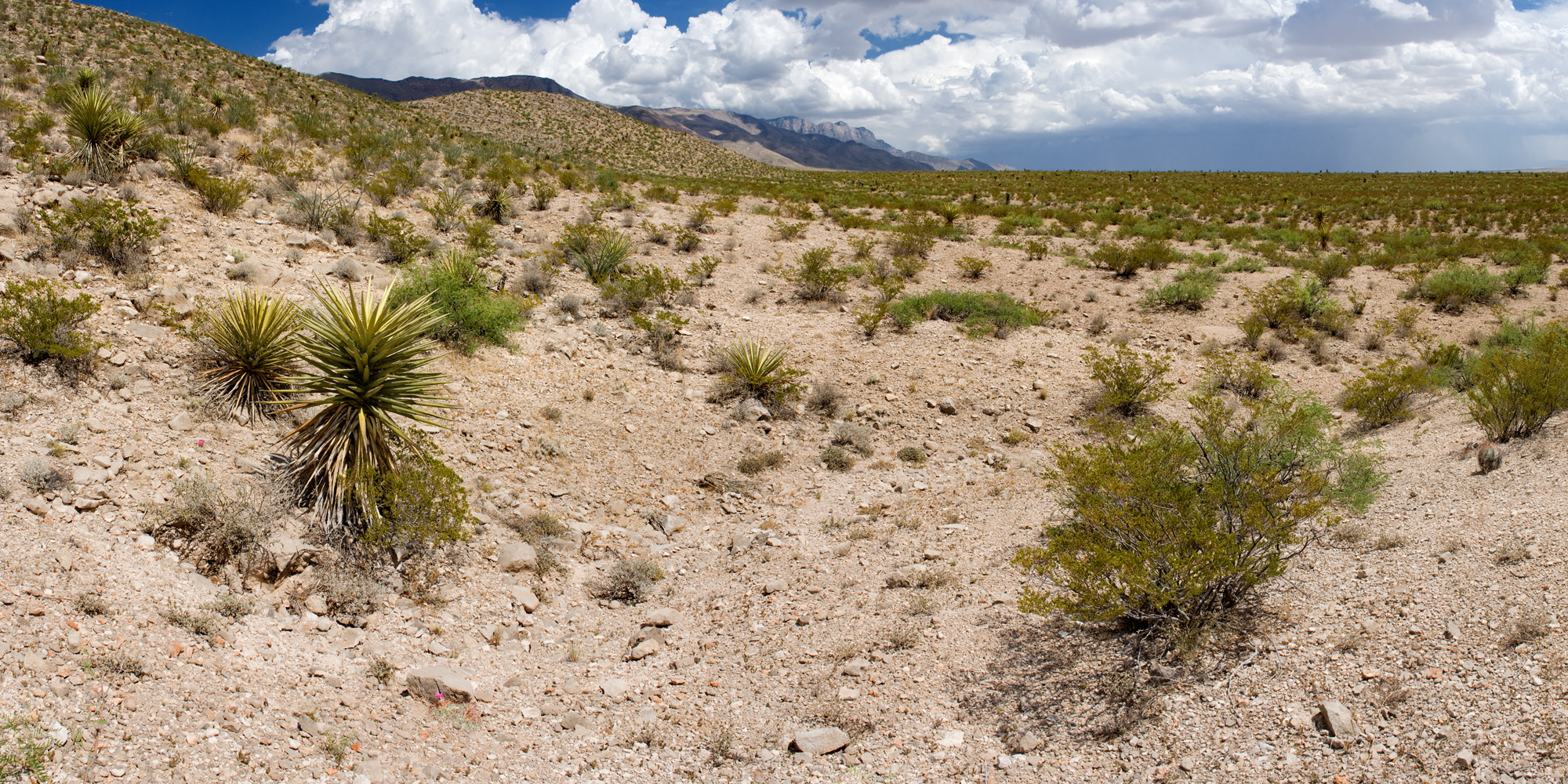
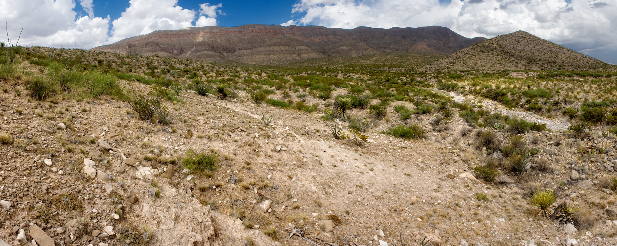
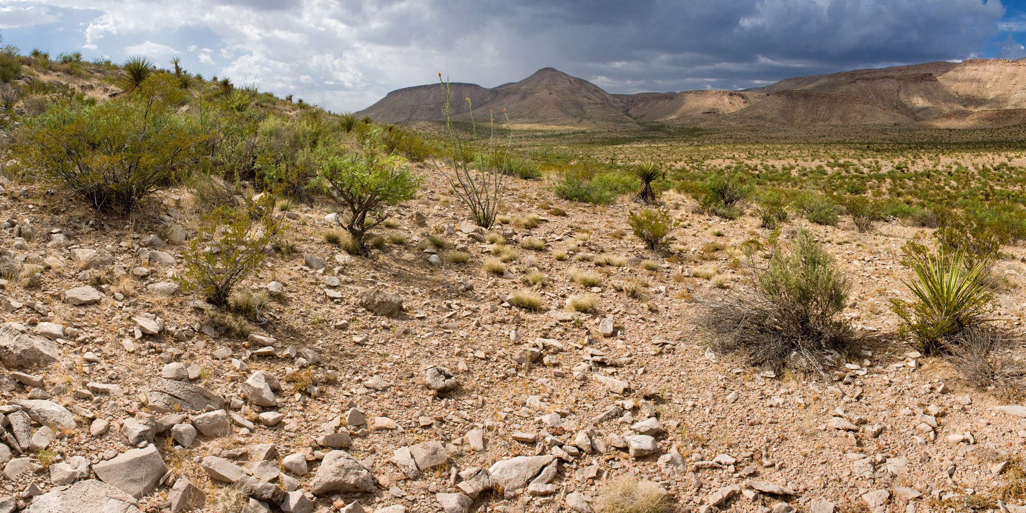
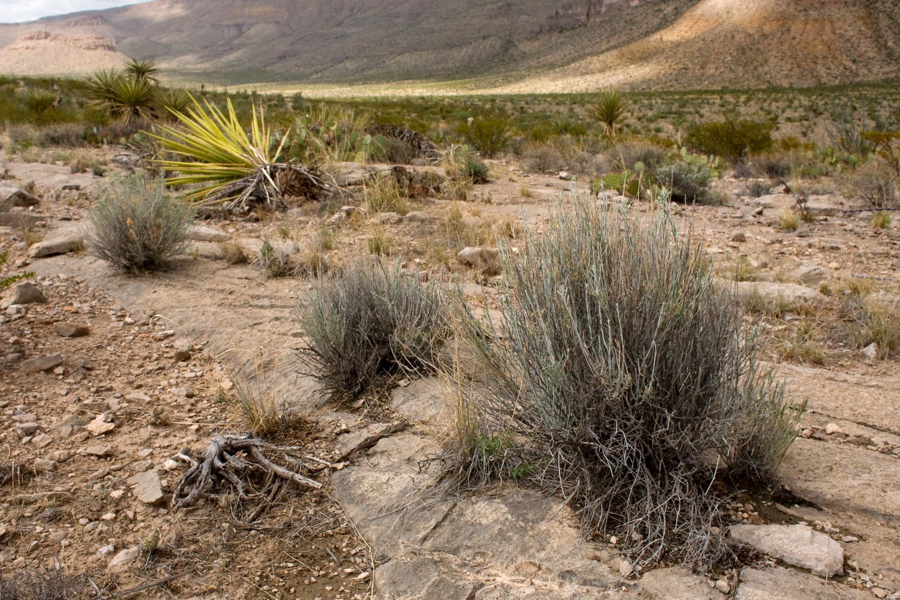
However, Phil Clayton did not get everywhere and survey everything. Mike Howard found some locations for Dermatophyllum guadalupense that are not in that map. He found three more plants near the end of a road that leads to a livestock water storage tank and had previously looked northwest of the tank, not finding any more Dermatophyllum guadalupense. So, on the third of July, we went out and, this time, wandered southeast of the tank. The short version is: we did not find any more Dermatophyllum guadalupense. But, we got to go outside and examine the area:

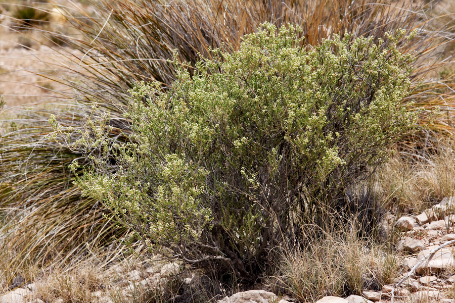
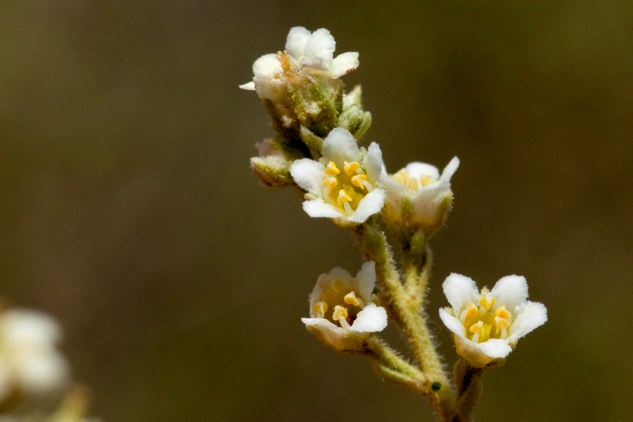
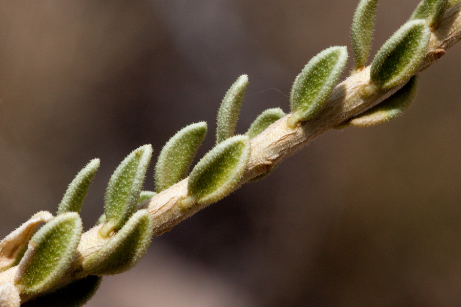
We also found another rare plant, Ericameria nauseosa var. texensis:

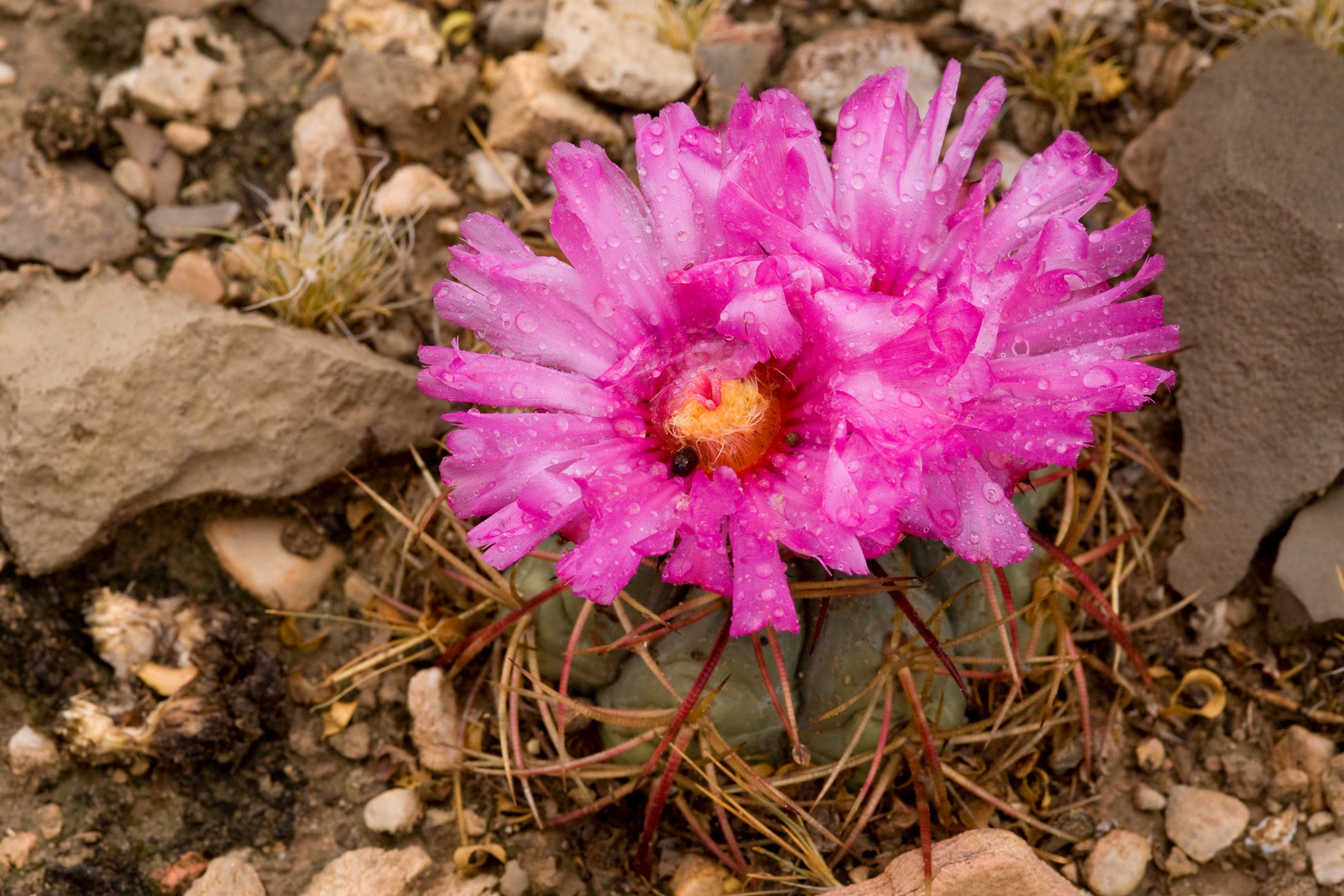
And Echinocactus horizonthalonius was flowering:

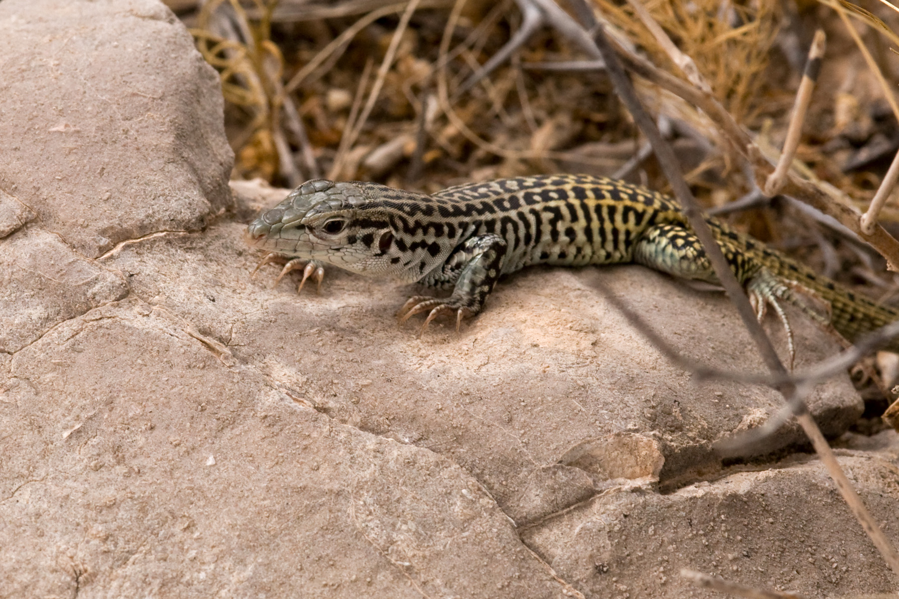
And whiptails (in this case, Aspidoscelis tesselata) were out:

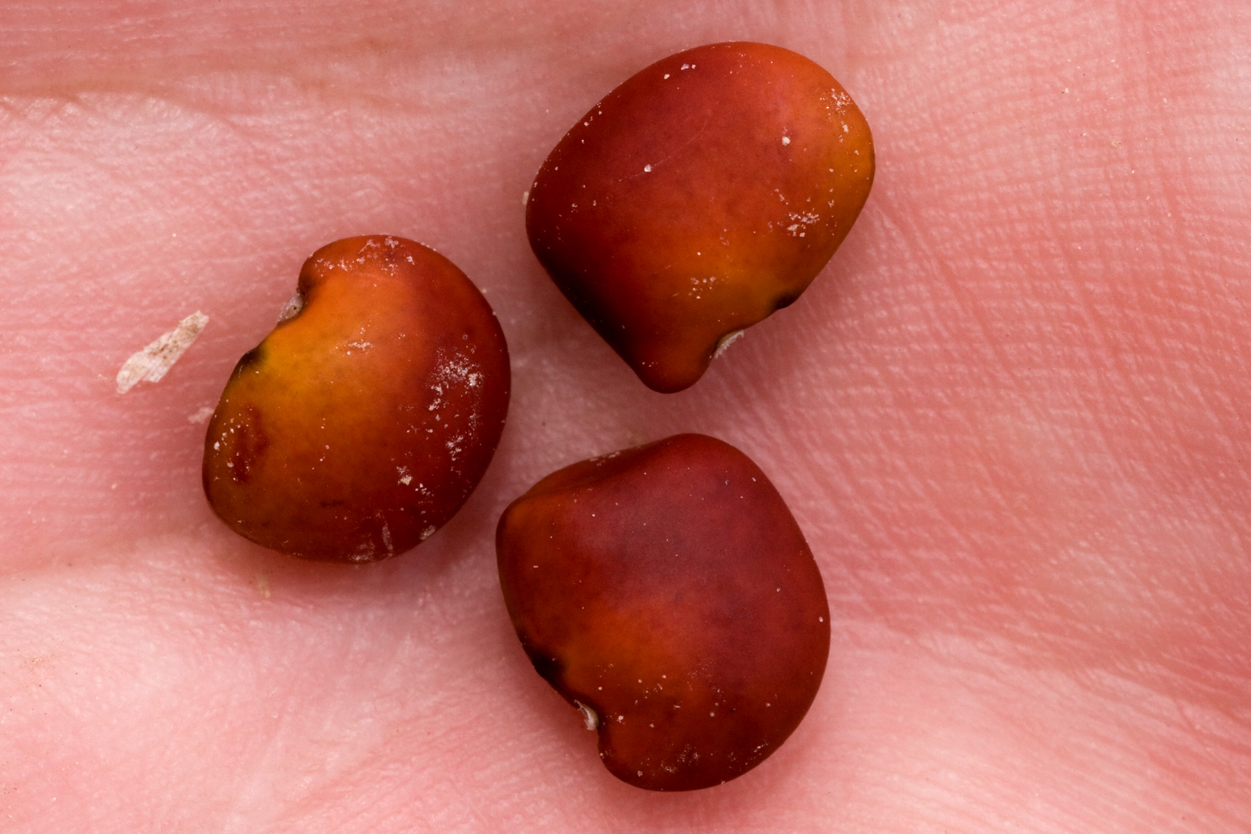
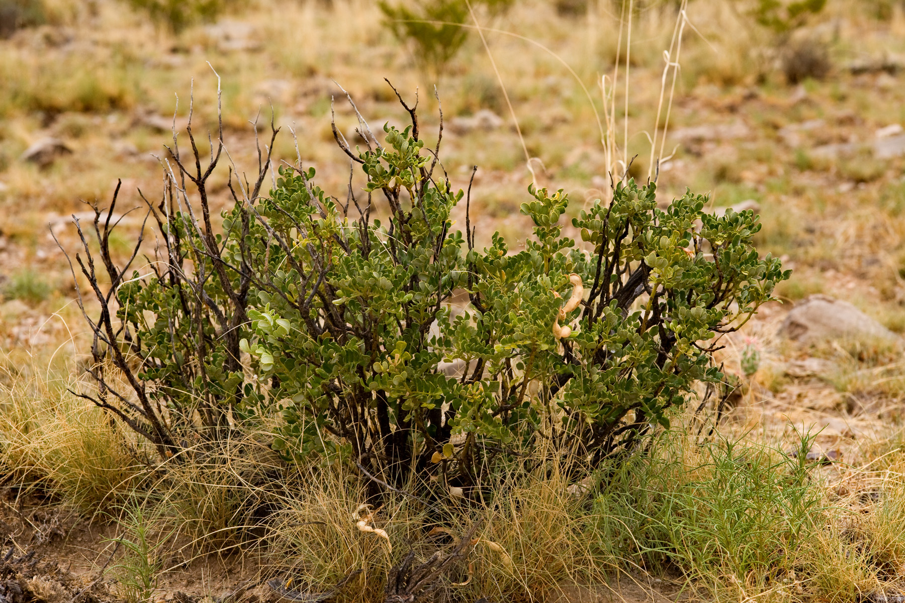
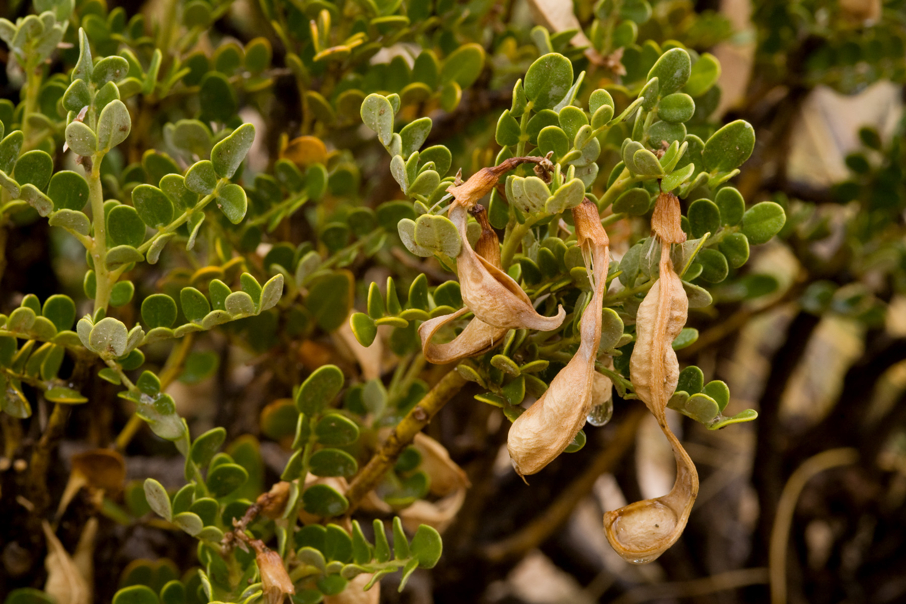
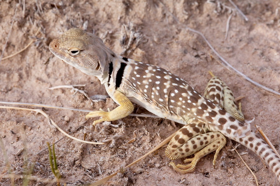
Also, if you were wondering what Dermatophyllum guadalupense looks like, well, here it is:

CLM Internship

The Chicago Botanic Garden hires interns to work with the BLM via the Conservation and Land Management Internship Program. These are typically 5-month internships but this year CBG has started 3-year internships that, it is hoped, will transition directly into permanent positions with the BLM. Right now, there are two of these 3-year interns, one in Taos and… me. Luckily, my internship is with the Las Cruces District Office of the BLM, which means I do not have to move and can continue to enjoy the many wonders of southern New Mexico. Among other things, CLM interns are expected to contribute to the CLM intern blog, so I will be writing there periodically… and will reproduce those posts here. So, here’s the first one:

Hello all, this is my first post. I’m at the BLM Las Cruces District Office in southern New Mexico. Unlike most CLM interns, I did not move here for the internship—I’ve been here for a decade. I went to grad school at New Mexico State University and, since graduating, have been trying to stick around one way or another. I may be biased, but there just aren’t many places that can compete with southern New Mexico. We have desert, mountains, lots of biodiversity, and lots of public land. It’s rarely cold, but can get a little warm in the summer. If we’re lucky, we get both winter and summer rains. Las Cruces is a bit too close to Texas, but no place is perfect.

Since starting my internship a month ago, the bulk of my time has gone to training of various kinds: getting the various necessary authorizations to drive governmental vehicles and whatnot, learning not to poke / sniff / eat potentially hazardous substances found in the desert, being baffled by the various different shared hard drives and physical filing systems in use, familiarizing myself with the many intricacies of NEPA and the ESA, getting to know ArcGIS (I’ve spent plenty of time with GIS, but not Arc), and so on and so forth. After a decade in the area I already know the plants fairly well, so that part of the learning curve isn’t too steep. Since none of that is terribly exciting, here are some photographs from one of my days in the field.

On June 15th, Mike Howard (state botanist for NM BLM and one of my two mentors) and I went out to the Brokeoff Mountains to look at Dermatophyllum guadalupense, a rare leguminous shrub. Mike has been nailing down the precise distribution of this species, so we checked a couple of questionable localities. The Brokeoff Mountains are mostly limestone (or limestone-ish things like dolomite), only get up to 6,600 feet elevation or so, and are mostly untreed:

While there, I took some pictures of Mortonia scabrella, a shrub that is abundant in the Brokeoff Mountains but otherwise rarely found in New Mexico. My long-term goal is to photograph all plant species that occur in New Mexico. This puts me one closer to that goal:

We then headed over to Alkali Lakes (a note to readers not familiar with New Mexico: the word “lake” generally indicates a place where water might theoretically pool given sufficient rainfall rather than an existing body of water) to get some stem cuttings of Lepidospartum burgessii, a shrub found only on gypsum at Alkali Lakes. We sent the cuttings off for tissue culture, since Lepidospartum burgessii rarely, if ever, produces viable seed. Possibly this is a reason it is rare. In any case, it would be convenient if we had some way to propagate the thing. Unfortunately, we heard a couple of days ago that these cuttings have not done well in tissue culture—most have succumbed to fungi. Fortunately, this is an excuse to go outside again to get more cuttings. I don’t have pictures of Alkali Lakes or Lepidospartum burgessii, so here’s a collared lizard: