Who’s next?

Living surrounded by relatively recent geologic catastrophe, I occasionally wonder, “When’s the next one?” I’m in the Basin and Range Province, where every mountain range owes its existence to faults. I’m in the Rio Grande Rift, one of the largest rift valleys in the world. We have several basaltic lava flows and cinder cones nearby, and a slew of igneous mountain ranges. The evidence of volcanism and other geologic calamities is everywhere around me… but should I worry? The faults are there. Some of the lava flows are recent. Who’s next?

Well, I don’t know. Unlike California, where earthquakes reside permanently in the backs of the minds of anyone with an inkling of geologic awareness, or near Yellowstone, which we know will explode disastrously someday, or the Cascade Mountains, with Mount Saint Helens as a constant reminder on the horizon that volcanism is not dead and might well ruin your day… in southern New Mexico I have never heard anyone worry about what our faults are doing or when there might be an eruption. I guess nothing has happened recently enough to worry us. Or the scars of past events are not quite big and spectacular enough. You might think a mile-wide crater from a maar volcano about 30 miles southwest of town might get some attention but hardly anyone in Las Cruces has even heard on Kilbourne Hole, much less visited it or worried about what such explosive potential might mean for our future. Carrizozo, at least, might have reason to be worried with a very recent lava flow just west of town. Yet, if you tried to buy volcano insurance in Carrizozo I suspect you would be met with blank stares by the local insurance agent.

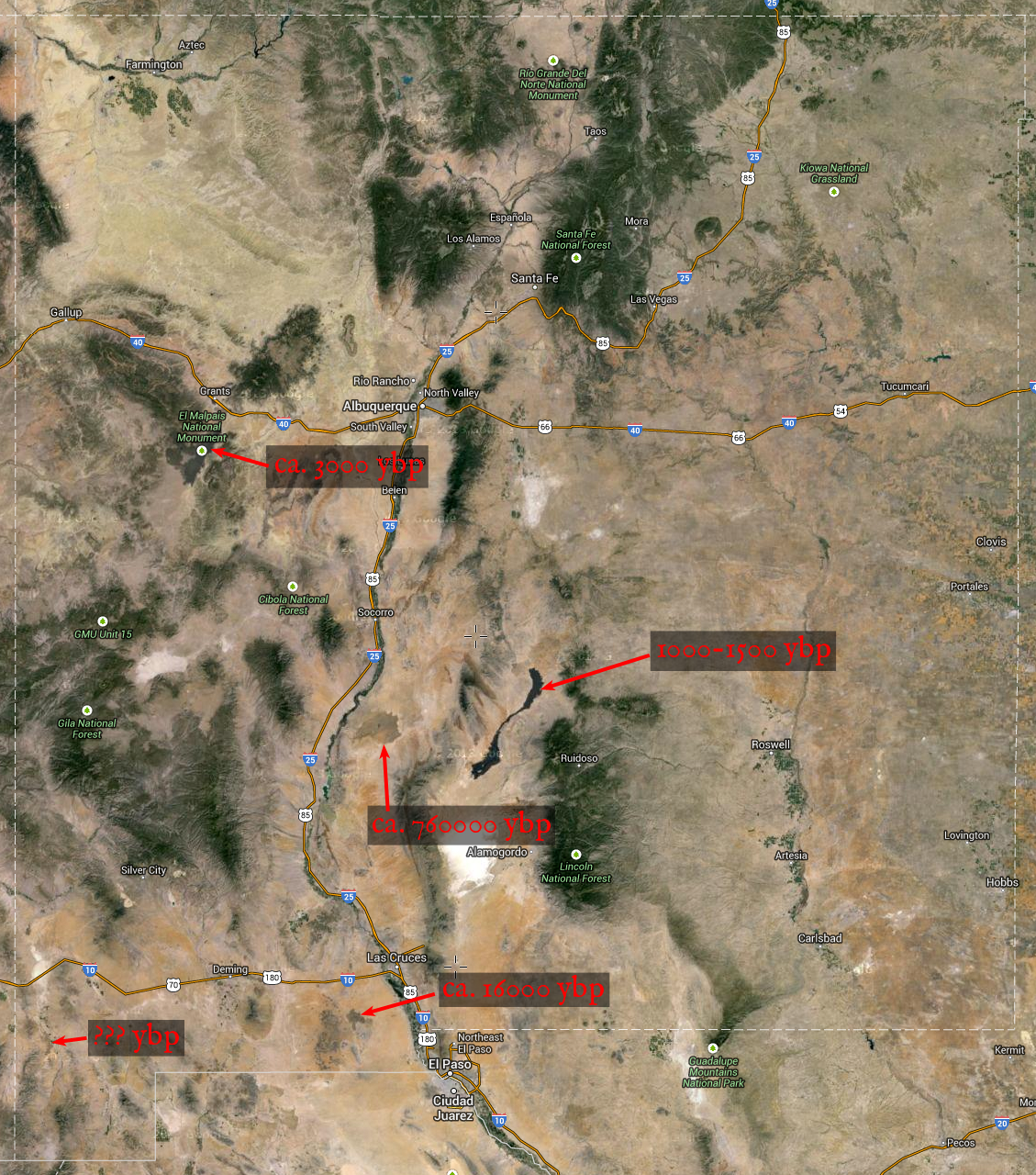
All that above is kind of an excuse to show a really half-assed map:

So, those are the recentish (i.e., not yet buried under sediment) basaltic lava flows I know of in our area. Some (the Grants Malpais and Carrizozo Malpais) are very recent. Maybe we should worry, maybe we shouldn’t, I don’t know. But if I hike Tortugas Mountain on the east side of Las Cruces, I can see on a good day eight igneous mountain ranges, a few isolated cinder cones, a big basaltic lava flow, and five mountain ranges that, although comprised primarily of sedimentary rocks, owe their existence to faults. This ought, at least, to make one wonder. Even if quiescent, the evidence of disaster is around us.

Post-fire seeding

A quick note about seeding, particularly of non-native, often invasive plants after fires.

It’s a bad idea. A really, really bad idea.

Even with natives, I’m not sure that dumping seeds across large areas is a great idea in this context. It will probably dramatically change the species composition of the area in the short term (effectively prolonging the disturbance created by the fire) and might do so in the long term. It has risks that we do not understand.

So, that aside, the risk of dumping non-natives into an area is more obvious. We risk replacing our spectacular native flora with a depauperate one. We risk permanently preventing an area from recovering from a fire. In this case, the fire isn’t the problem. What we do afterwards is the problem. A fire is a temporary disturbance, but an established invasive species is a permanent disturbance.

Unfortunately, post-fire seeding with non-native species remains common. A recent example is the Silver Fire (2013) in the Black Range. It was seeded with Hordeum vulgare, Triticum aestivum, and perhaps various other contaminants. The Hordeum and Triticum probably will not persist. Hopefully this will just be a severe, but temporary, disruption of post-fire succession. But… well, we don’t know. This is a bad idea.

After the Peppin Fire (2004) in the Capitan Mountains, the area was seeded with Psathyrostachys juncea. I first noticed this species in profusion back in 2006. I hoped it was temporary. I visited the area again a few weeks ago. It is still there and abundant, now 10 years on from the fire. At this point, I think it is likely it will be there indefinitely and that this represents a permanent replacement of part of the native flora with an invasive species. This seeding was an extremely bad idea. We should not have allowed this to happen.

Also, both areas contain a number of rare species. For instance, in the Capitan Mountains, the seeded area includes the rare species: Cirsium inornatum, Erigeron rybius, Lupinus sierra-blancae, Geranium dodecatheoides, Penstemon cardinalis, Penstemon neomexicanus, Eriogonum wootonii, Delphinium novomexicanum, Heuchera woodsiaphila, and Heuchera wootonii. There are probably several others. Those are just the rare plants I am certain of because I have seen them there! Why would you introduce an invasive species into an area with a wealth of rare species? We don’t know if Psathyrostachys juncea will have deleterious effects on all or none of these in the long term. But why take that risk?

Further adventures with AHPS and HRAP

So, once I figured out how to deal with the oddball projection, I knew in principle how to deal with precipitation shapefiles provided by NOAA. However, going through each file one-by-one would be a pain. I need to automate this, or at least partially automate it. QGIS comes with a graphical modeler that allows limited automation of tasks, but I quickly found a problem with this–I need to do some reprojection of layers from one custom CRS to another, and the “reproject layer” function available in the graphical modeler does not work with custom CRS.

Fortunately, poking around online I found a simpler solution–use shell scripts and the command line in Terminal. Fortunately, the reprojection tool used in QGIS (ogr2ogr) handles custom CRS just fine–you can just specify the projection in proj4 format and away it goes. So, now all I needed to do is figure out how to get syntax for the parameters and whatnot to work. Luckily, QGIS provides a transcript of what commands it is sending when you run a tool from one of the menus, so I can (mostly) just deal with QGIS and copy-paste from there to an sh file. I ended up with producing a set of four folders (one for the raw shapefiles from AHPS and one for each stage in the process) and three shell scripts, each of which does some needed modification of the layers and puts the output in the next folder. Here are the sh files, first, for reprojecting the AHPS files from the HRAP geographic coordinate system to the HRAP projected coordinate system:

for f in *.shp
do
  echo "Processing $f"
/Library/Frameworks/GDAL.framework/Versions/1.11/Programs/ogr2ogr 
-s_srs "+proj=longlat +a=6371200 +b=6371200 +no_defs" -t_srs 
"+proj=stere +lat_0=90 +lat_ts=60 +lon_0=-105 +k=1
+x_0=0 +y_0=0 +a=6371200 +b=6371200 +to_meter=4762.5 +no_defs" 
../reprojected/$f $f
done

And then rasterization:

for f in *.shp
do
  echo "Processing $f"
/Library/Frameworks/GDAL.framework/Versions/1.11/Programs/gdal_rasterize 
-a Globvalue -tr 1.0 1.0 $f ../rasterized/$f.tif
done

Last, clipping the rasters to a smaller extent so that the collection of files is not unnecessarily large:

for f in *.tif
do
  echo "Processing $f"
/Library/Frameworks/GDAL.framework/Versions/1.11/Programs/gdal_translate 
-of GTiff -projwin -112.0 -1327.0 17.0 -1414.0 $f ../output/$f
done

That all works nicely and allows me to process large numbers of files quickly and efficiently. I’m sure that if I really understood sh (rather than copying the work of others and modifying things without really knowing what I’m doing) I could probably just have an “input” and “output” directory and a single sh file. But this is still pretty efficient and didn’t require too much farting around.

AHPS and the HRAP coordinate system…

So, I’ve been trying to stick precipitation data from NOAA’s Advanced Hydrologic Precipitation Service (AHPS) into GIS. You can view this data online and you can download it. So all you’ve got to do is load it into your preferred GIS software (I’m using QGIS 2.4), right?

Nope. The downloadable data is in an oddball format that is not directly usable for much of anything. Instead, you get point shapefiles in a one-off projection, Hydrologic Rainfall Analysis Project (HRAP). These shapefiles consist of a grid of points, each basically representing a pixel, and come with prj files defining a geographic coordinate system. If you load them in QGIS, they look like this:

The prj file looks like this:

GEOGCS["HRAP_Sphere",DATUM["",SPHEROID["",6371200.0,0.0]],
PRIMEM["Greenwich",0.0],UNIT["Degree",0.0174532925199433]]

That’s nice, but you can’t rasterize it very well because the grid is not regular in this projection. It’s tilted and does not have even spacing across its extent. The points can’t be reasonably converted to raster pixels. The coordinate system the shapefile ships with isn’t really good for anything. I tried poking around online to figure out what you’re supposed to do with these AHPS shapefiles and did not come up with anything helpful. So I emailed AHPS to try to figure out what to do. I got a quick and very helpful response–a pdf with instructions for converting these shapefiles into a usable projection using ArcGIS. Although this solved my problem (luckily, I do have access to ArcGIS), it raises several questions: Why aren’t the data downloadable in a format that is directly usable–if not a raster, at least a shapefile in an appropriate projection? Why aren’t instructions on using the downloadable shapefiles readily available to users of this data? The instructions exist, they work, but I don’t know how you get them without emailing AHPS and saying, “Help, what am I supposed to do with this?” What about those who don’t have access to ArcGIS? Most people can’t afford ESRI’s absurdly high prices and don’t work at institutions that can. So far as I can tell, the answer for people in this situation is, at present, “Sorry, you’re SOL.”

So… if you follow the directions I got from AHPS, this is what happens:

1) You delete the prj file that comes with a shapefile, and create a new one that looks like this:

GEOGCS["HRAP_GCS",DATUM["D_HRAP",SPHEROID["HRAP_Sphere",6371200.0,0.0]],
PRIMEM["Greenwich",0.0],UNIT["Degree",0.0174532925199433]]

In proj4 format (which is accepted by QGIS for the creation of a custom CRS), the coordinate system looks like this:

+proj=longlat +a=6371200 +b=6371200 +no_defs

2) You create a custom CRS and transform the shapefile into that CRS, which results in a prj file that looks like this:

PROJCS["HRAP_Projected",GEOGCS["HRAP_GCS",DATUM["D_HRAP",SPHEROID
["HRAP_Sphere",6371200.0,0.0]],PRIMEM["Greenwich",0.0],UNIT
["Degree",0.0174532925199433]],PROJECTION["Stereographic_North_Pole"],
PARAMETER["False_Easting",0.0],PARAMETER["False_Northing",0.0],
PARAMETER["Central_Meridian",-105.0],PARAMETER["Standard_Parallel_1",
60.0],UNIT["HRAP_Grid",4762.5]]

Or, in proj4:

+proj=stere +lat_0=90 +lat_ts=60 +lon_0=-105 +k=1 +x_0=0 +y_0=0 
+a=6371200 +b=6371200 +to_meter=4762.5 +no_defs

Once you’ve done that, you have a nice regular grid that is ready to be rasterized. In QGIS, it looks like this:

Then you can just go to Raster –> Conversion –> Rasterize, set “Attribute field” to “Globvalue”, “Raster resolution in map units per pixel” to “1” for both horizontal and vertical, and Bob’s your uncle. You get something like this:

And then you can play with the style, get it pretty, and you have a usable precipitation layer. Wonderful! However: The folks at AHPS know how to do this. The rest of us don’t. The information needed is not readily available and the process somewhat convoluted. Why isn’t that information readily available and, more to the point, why aren’t the data provided in a form that doesn’t require a bunch of hassle? We’re all paying for the creation of this data. Why don’t we get a usable product? If they know how to generate such a product, why don’t they just… do it? Give us a raster that is already in a well-defined and documented coordinate system with a prj file that works. Really, it should also come with nice, readily-interpretable styling, so that I don’t need to create that as well. Let me just load it and use it. Compared to the effort and expense involved in generating this data, providing it in a simple plug-and-play format is utterly trivial. So, AHPS, just do it. You know how, you can do it in your sleep. Don’t give the rest of us a bunch of pointless hoops to jump through. Just give us a product we can use.
CLM internship 3: night-blooming cereus

Greetings,

The last couple of weeks, I have been supervising surveys for Pediomelum pentaphyllum and Peniocereus greggii var. greggii. In southern New Mexico, grassland was once extensive and dominated primarily by Bouteloua eriopoda, but overgrazing (especially in the 1890s) and perhaps other factors (climate change is a possible contributing factor) have resulted in most of our low-elevation grasslands being replaced by shrublands dominated by Larrea tridentata and Prosopis glandulosa. In an effort to reverse this trend, the BLM and others have been conducting herbicide treatments, primarily with pelleted tebuthiuron. Unfortunately, tebuthiuron is a fairly broad-spectrum herbicide, affecting most eudicots to some extent, and can therefore kill non-target plants… including rare ones! So, in areas where herbicide treatment has been proposed we go out and survey for rare plants to ensure that protected species are not being killed. Interestingly, there seems to be a spike in forb diversity in about the first decade after these herbicide treatments. The vegetation dynamics are not understood very well as yet, though, so when rare plants are involved we try to play it safe and exclude them from herbicide treatments.

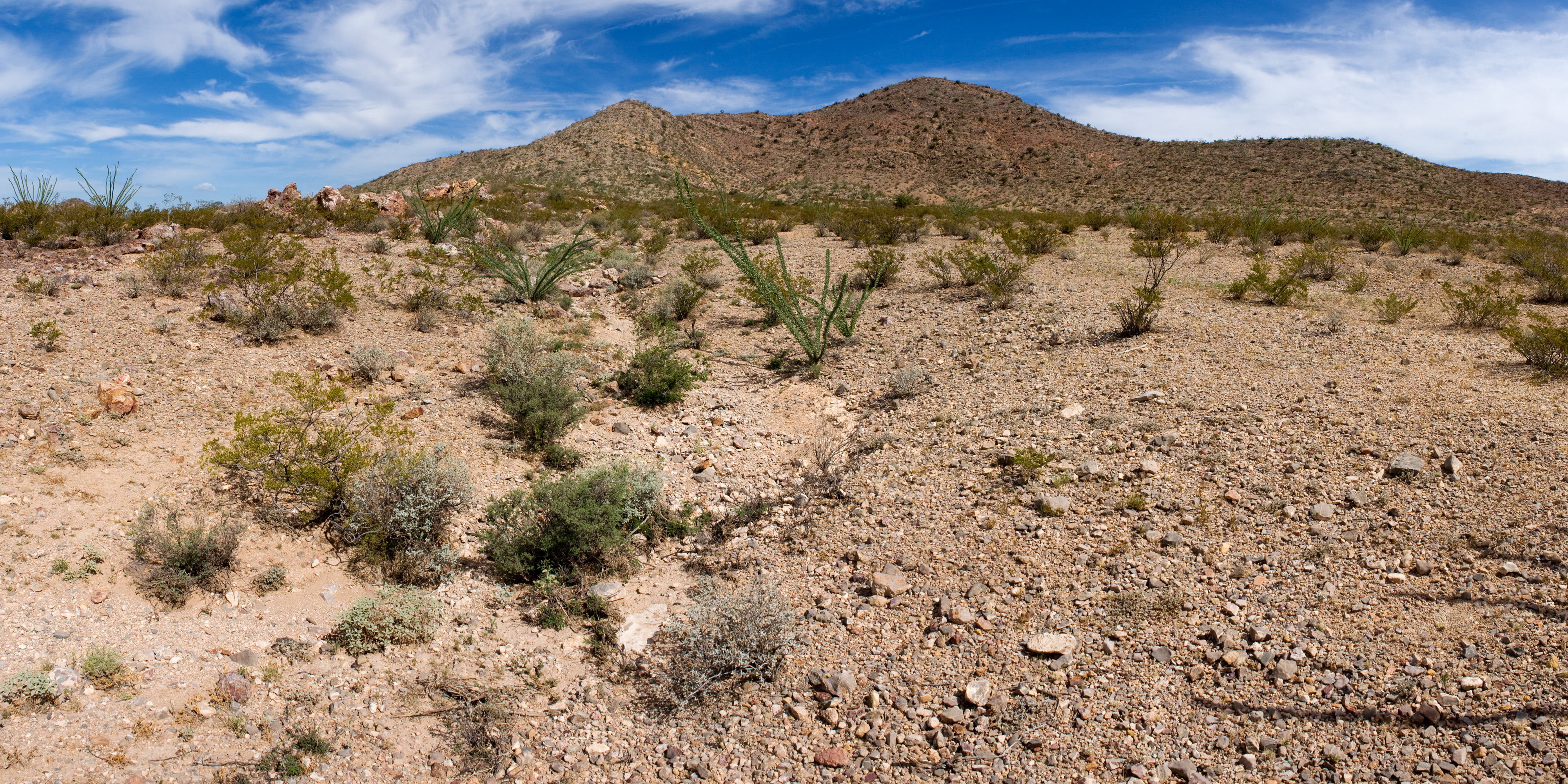
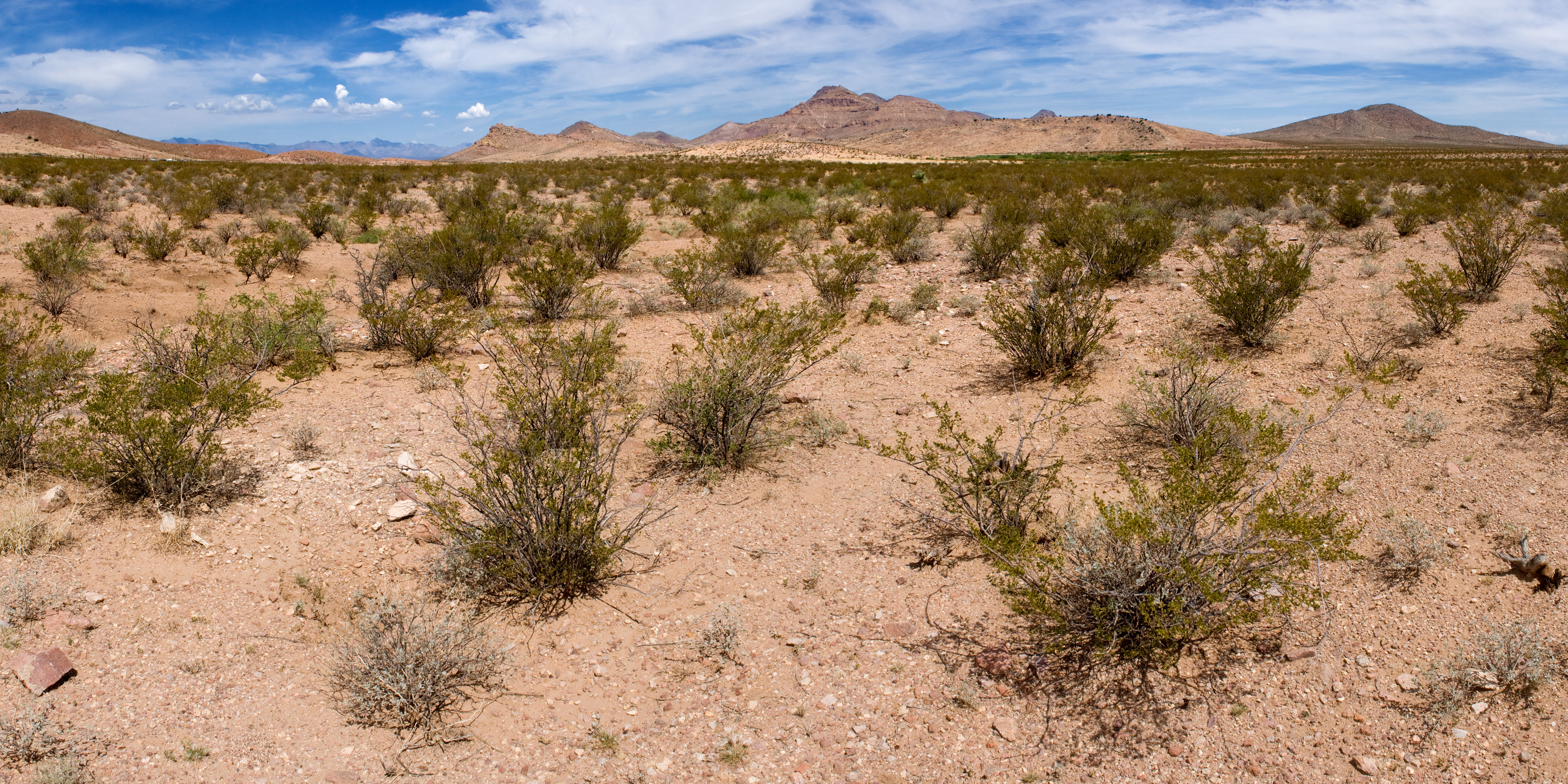
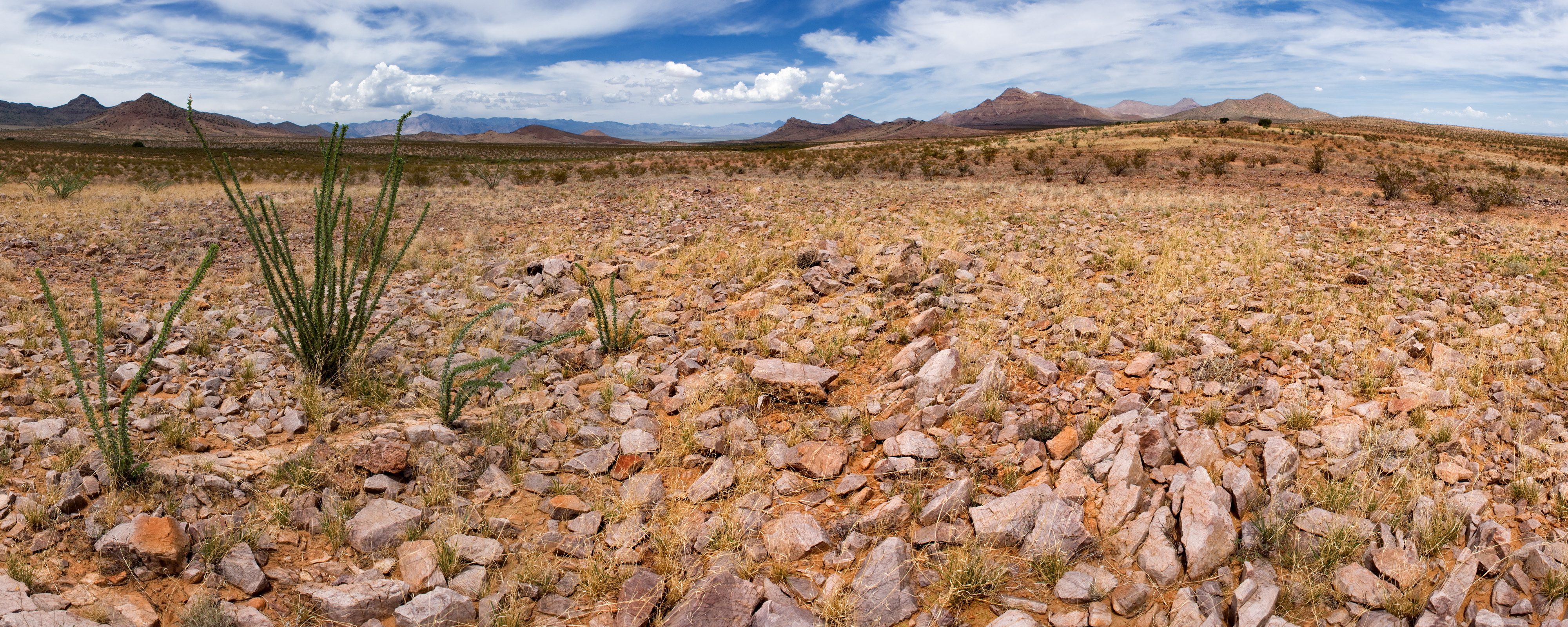
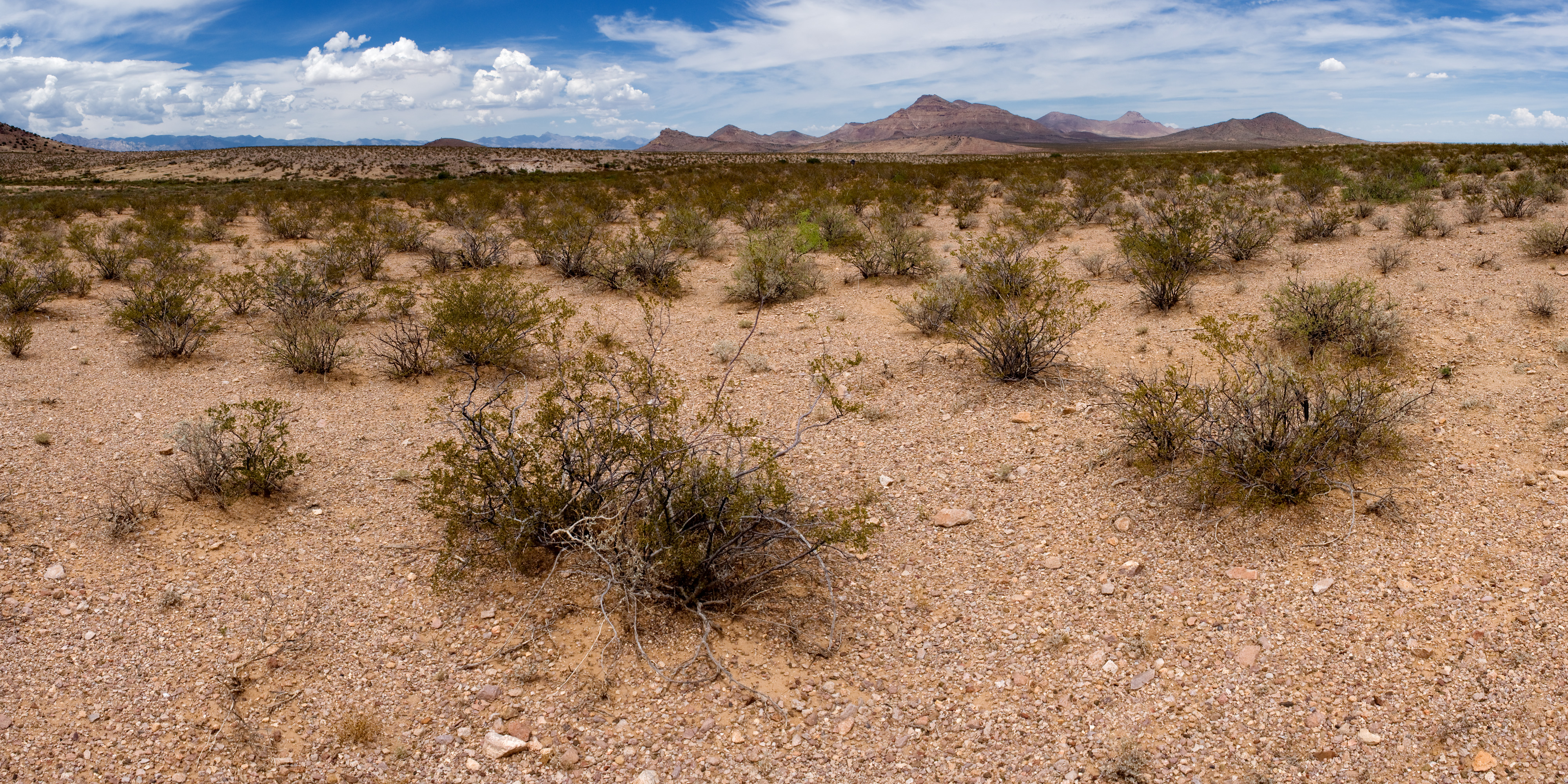
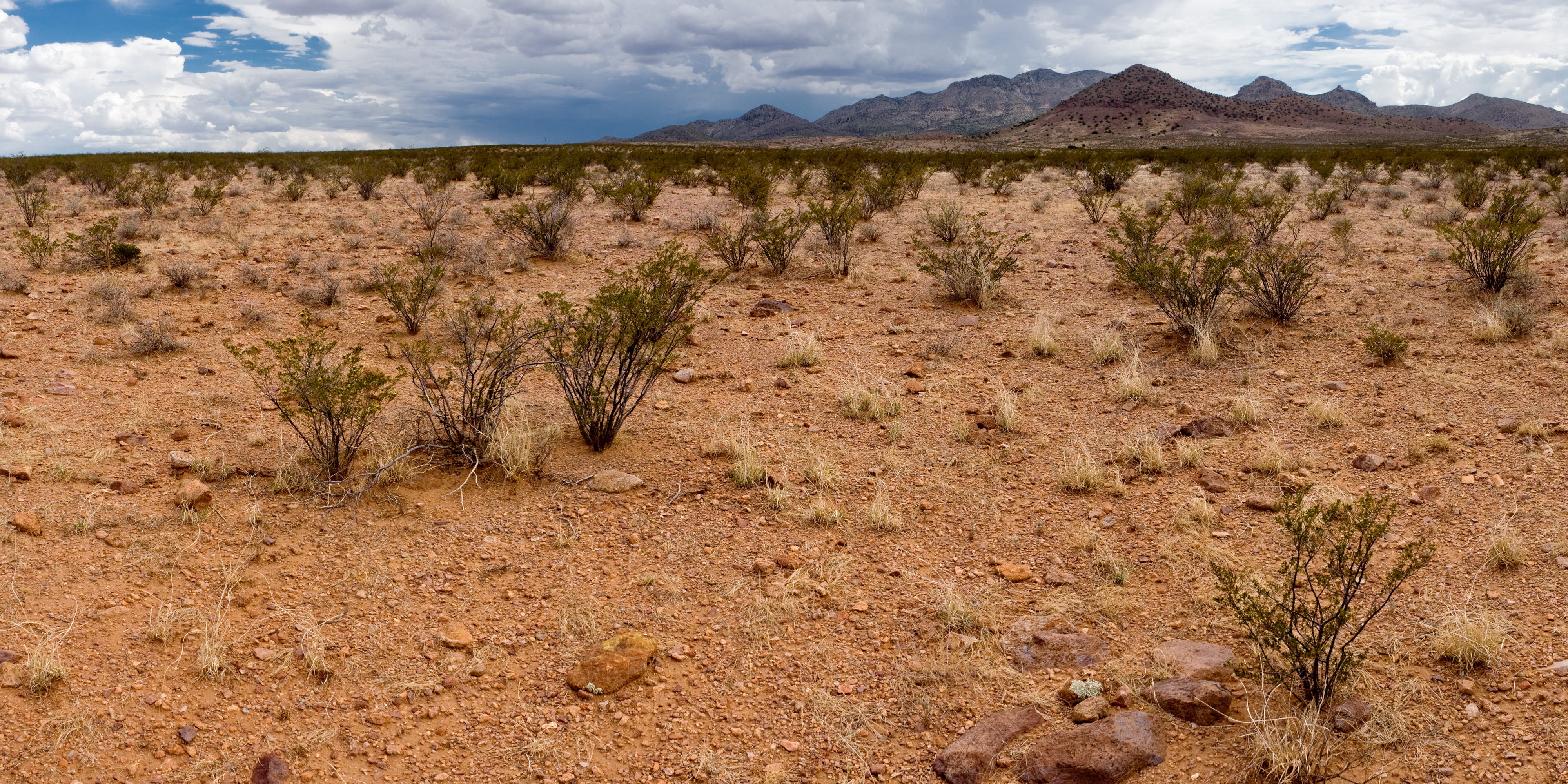
In southwestern New Mexico, the rare species that might be adversely affected are usually Pediomelum pentaphyllum and Peniocereus greggii var. greggii. Most of the treatments that have been proposed for later this year and next year might affect Peniocereus greggii var. greggii but are unlikely to include plausible habitat for Pediomelum pentaphyllum, so Peniocereus greggii var. greggii has been our primary focus. We’ve been heading outside and walking lines at 100 meter intervals across these proposed treatments looking for it. We’ve found 16 plants on proposed treatments so far. Apart from helping us design these herbicide treatments to avoid rare plants, this lets us go outside and walk through pretty places! Here’s one of the areas we walked through last week, around Antelope Pass in Hidalgo County, New Mexico:

We have also encountered one of the hazards of botanizing in New Mexico: when the rains are good and plants are happy, the roads are bad. They get washed out. Arroyos that are dry 364 days a year are suddenly flooded. Low-lying areas that are usually hard clay become brown slime. So, this is a “road” (really, it is a road, we drove down it a couple weeks prior with no problem):

And this is a stuck truck, supervised by Michael Kolikant:

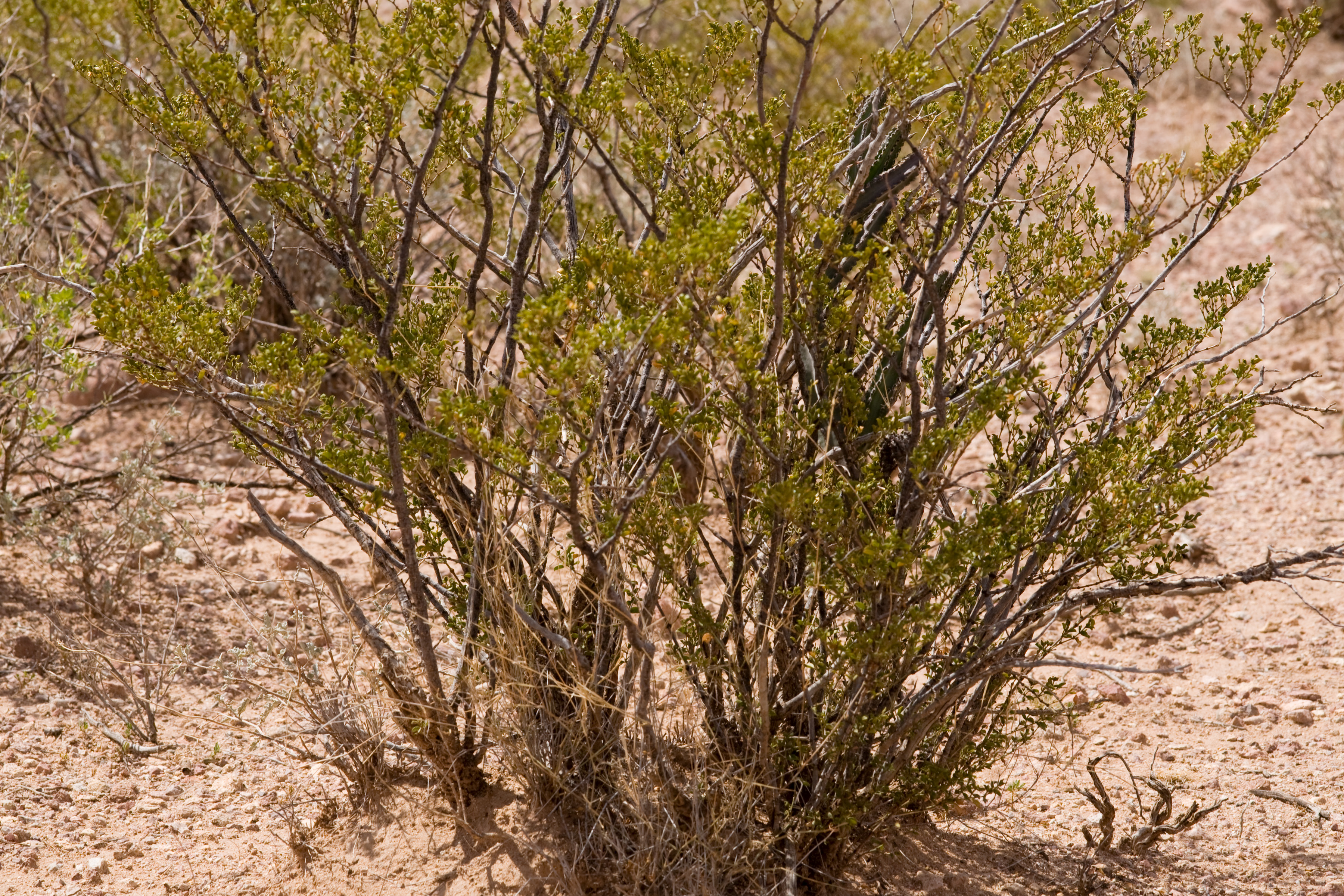
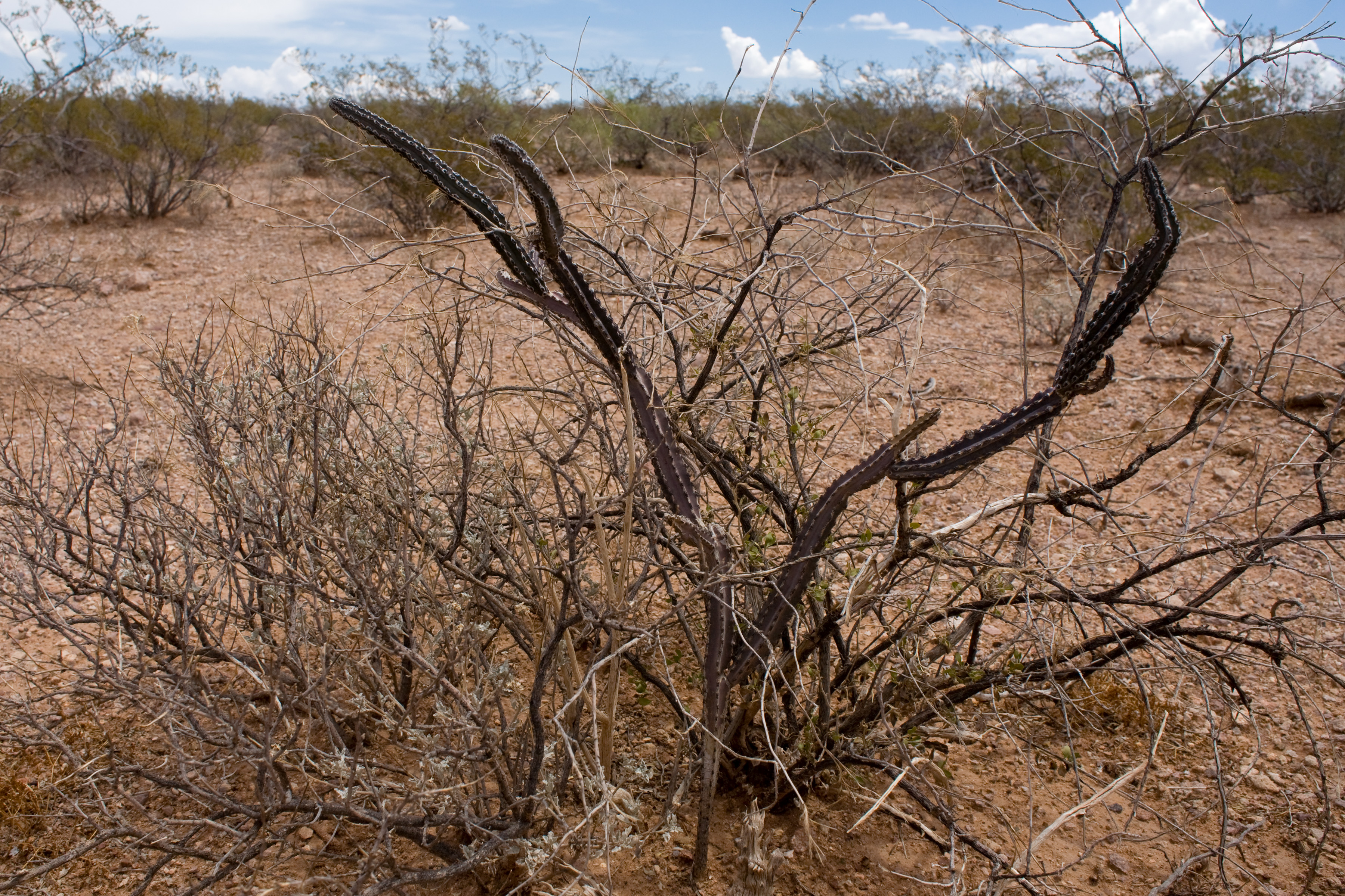
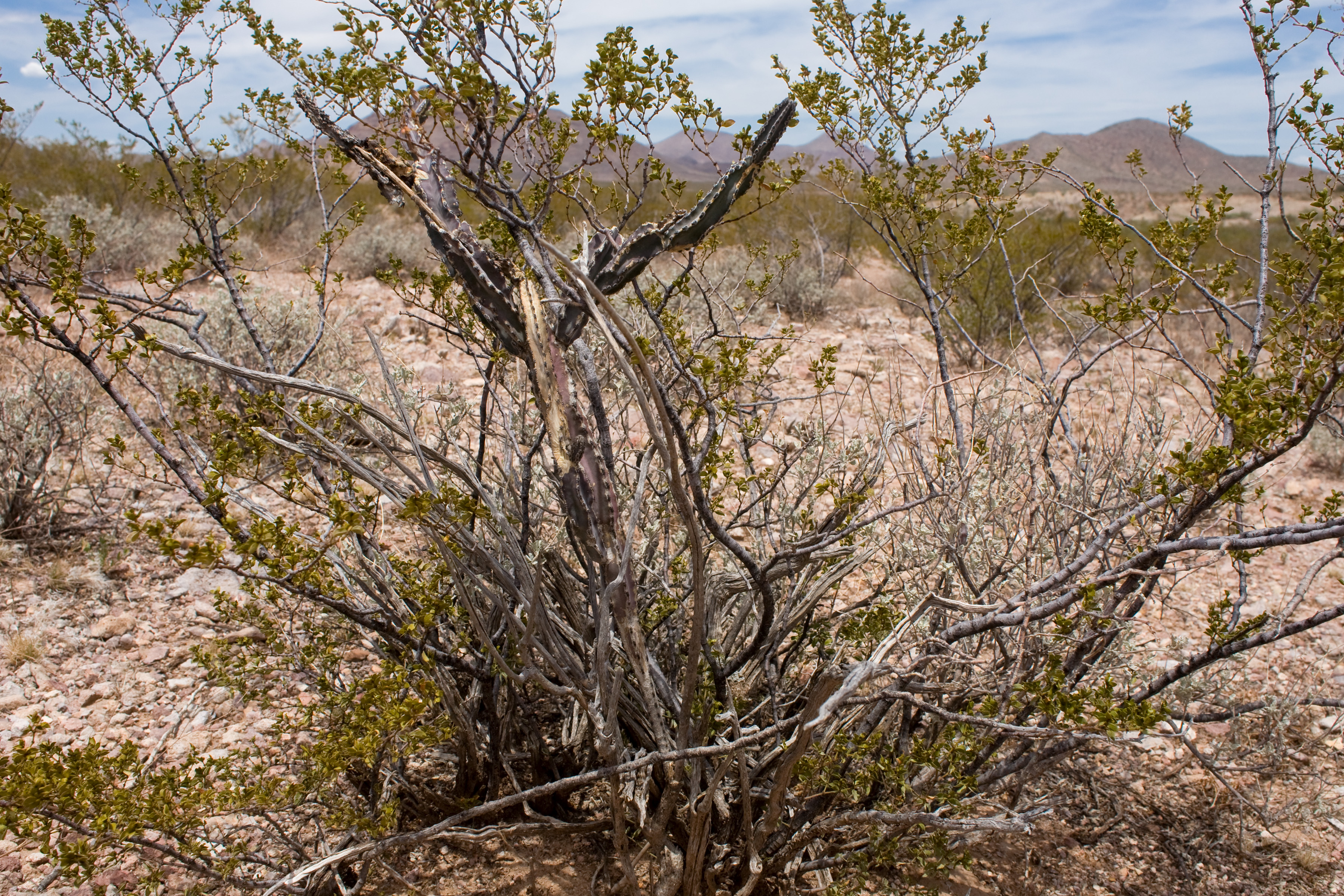
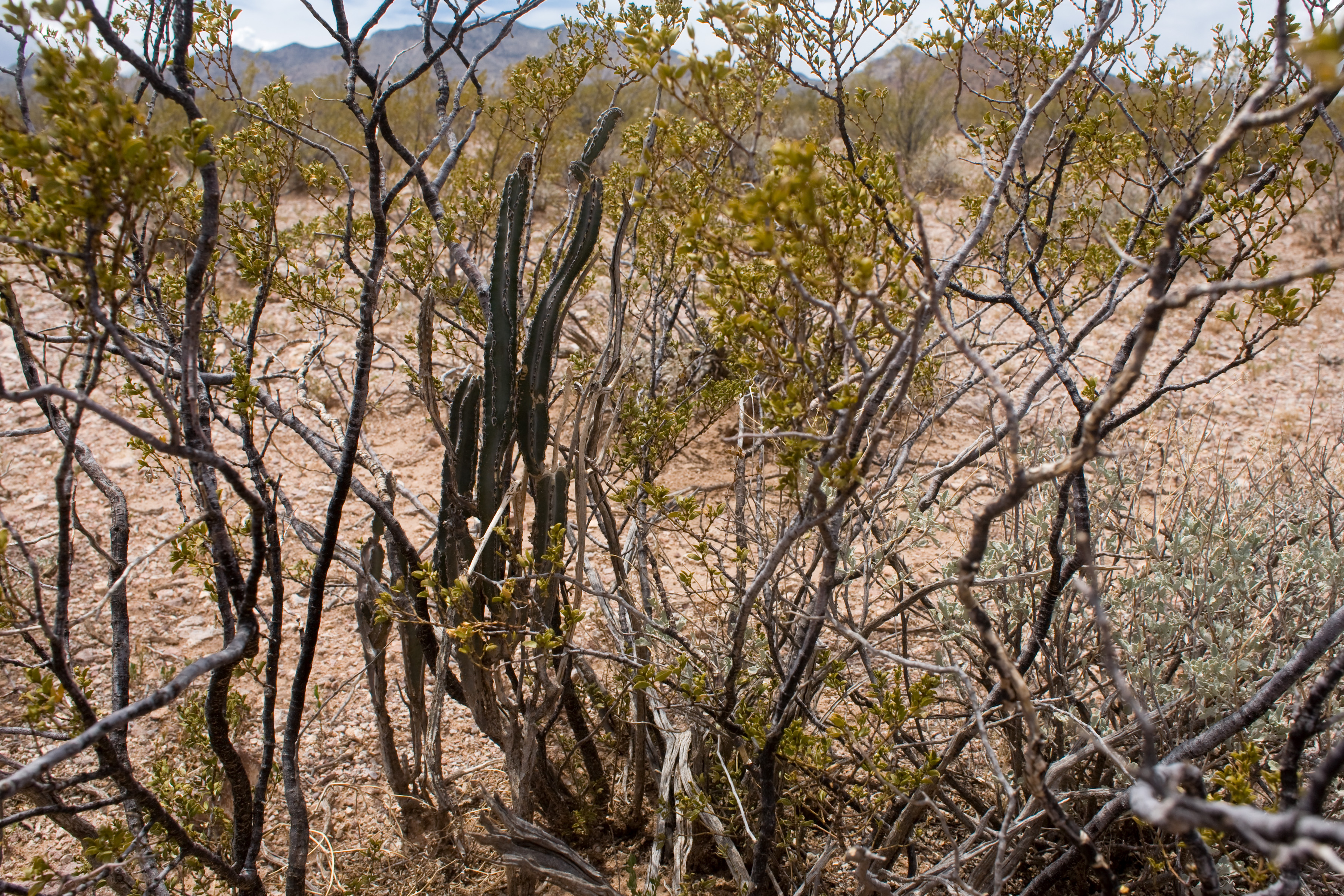
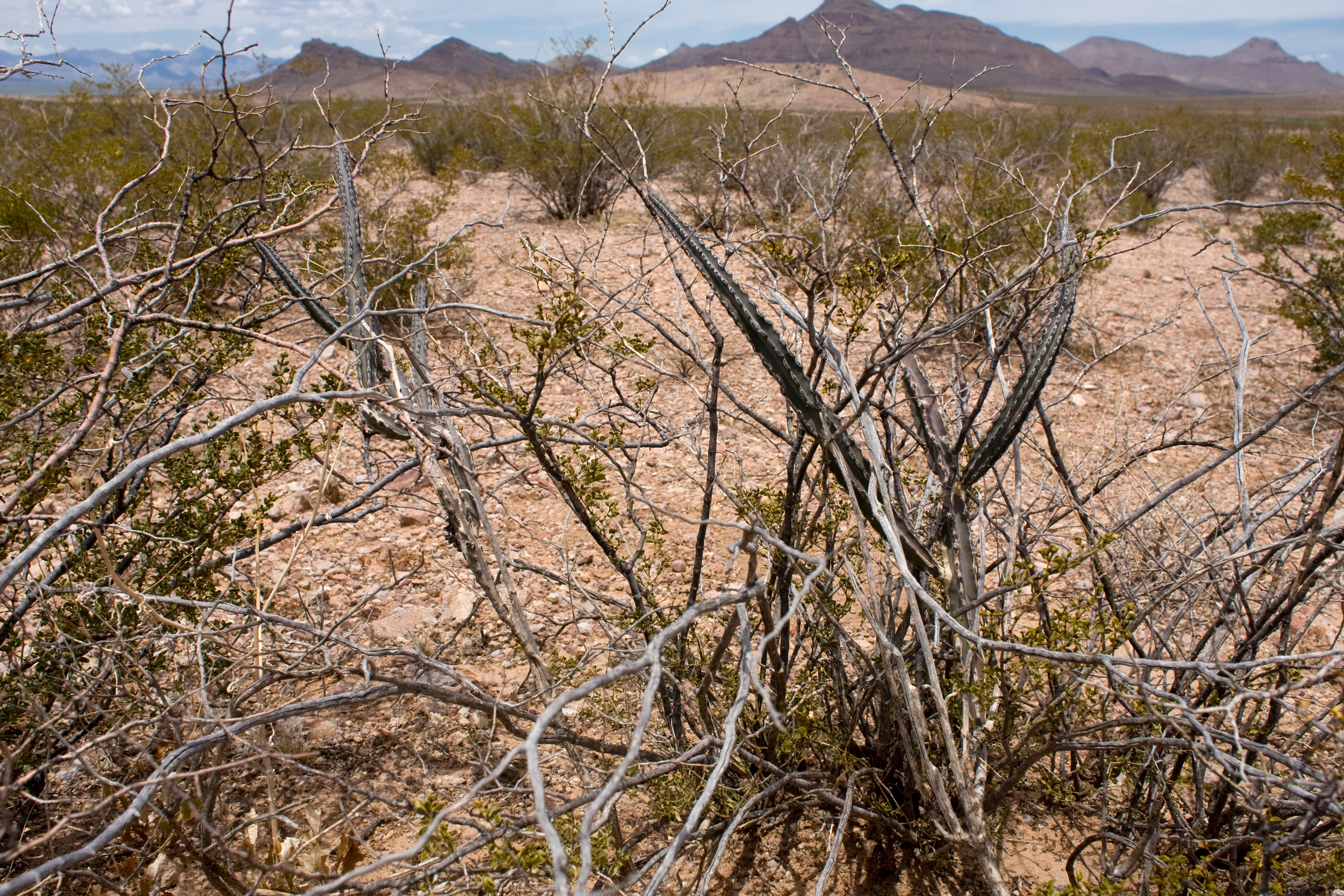
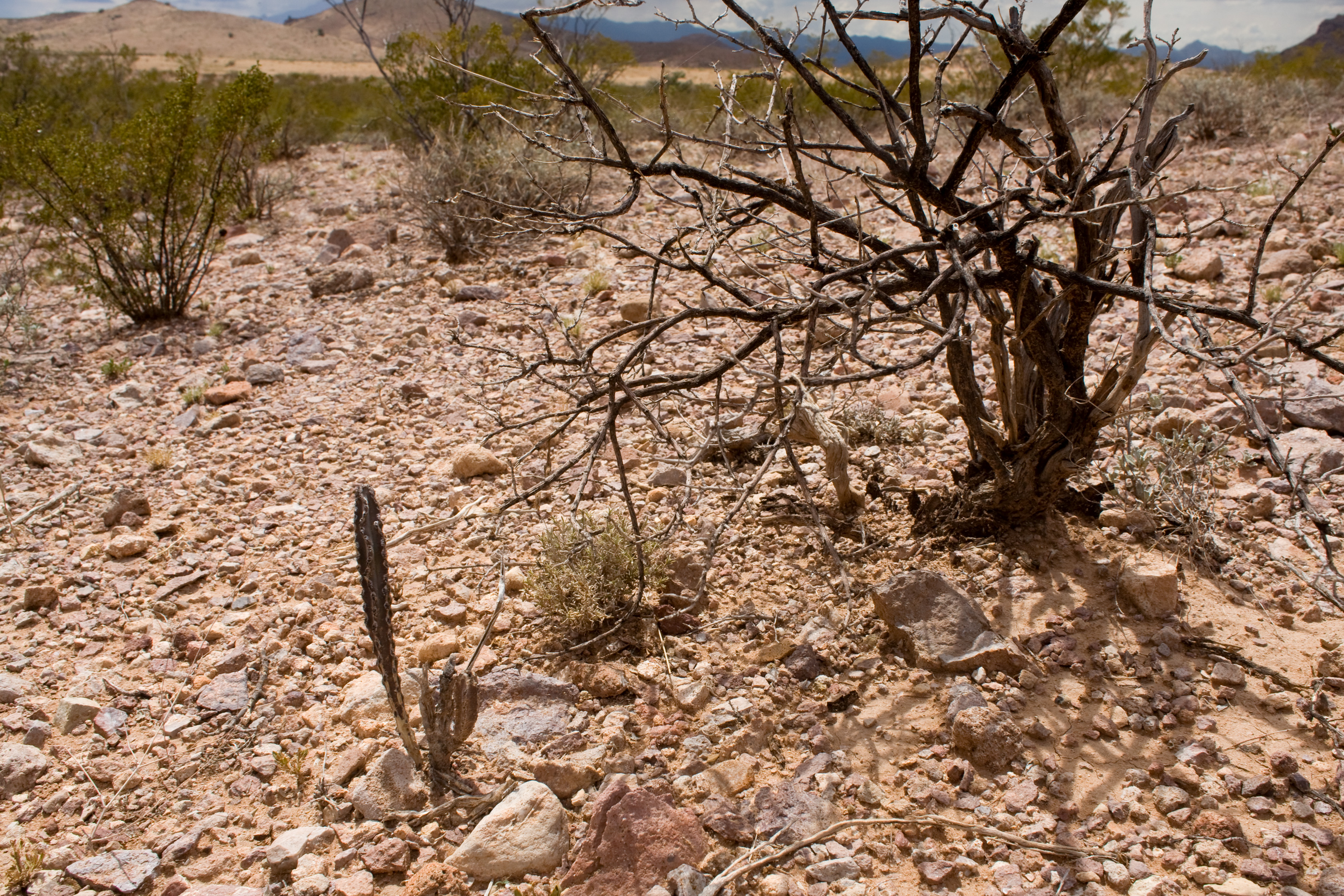
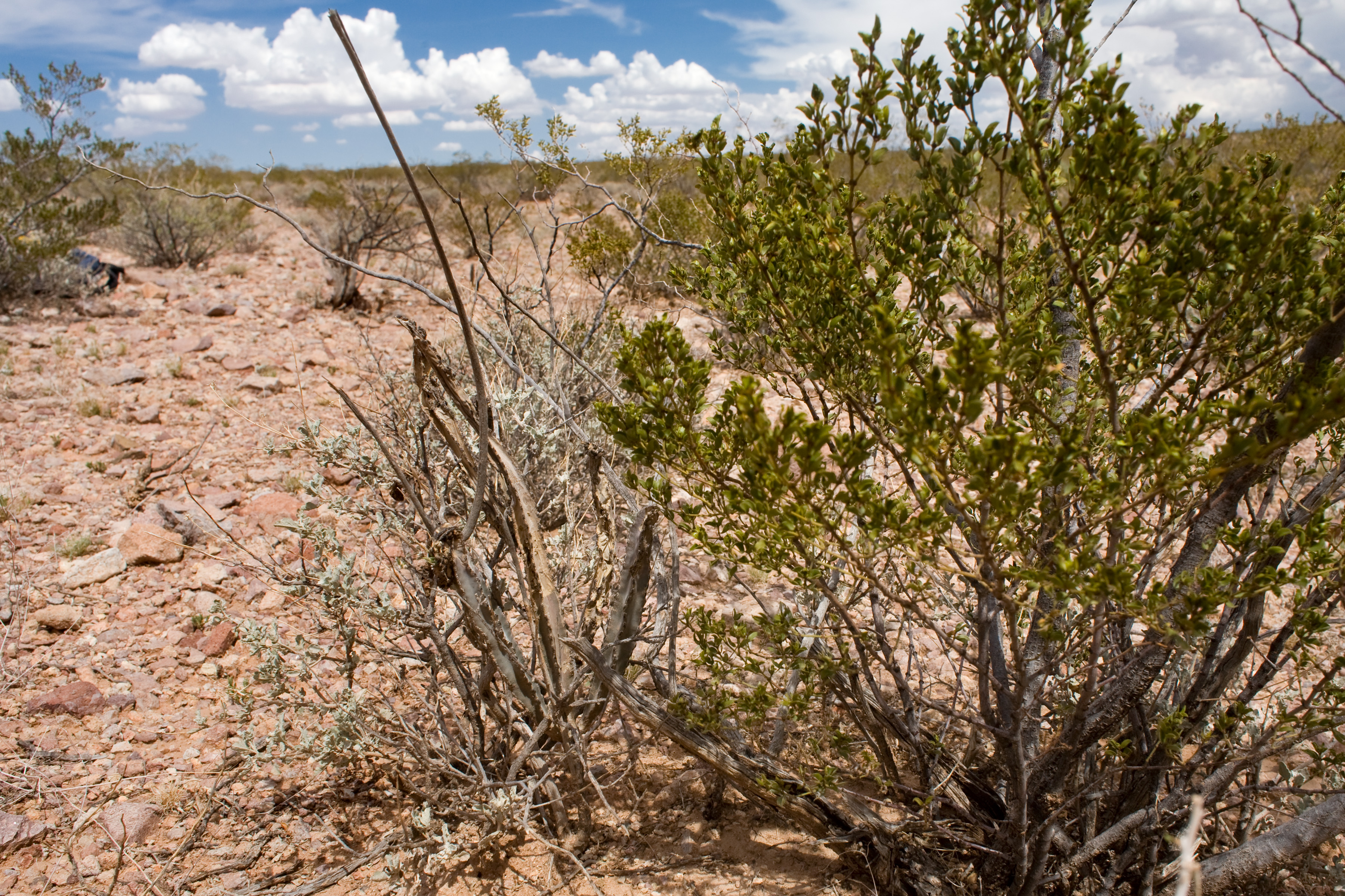
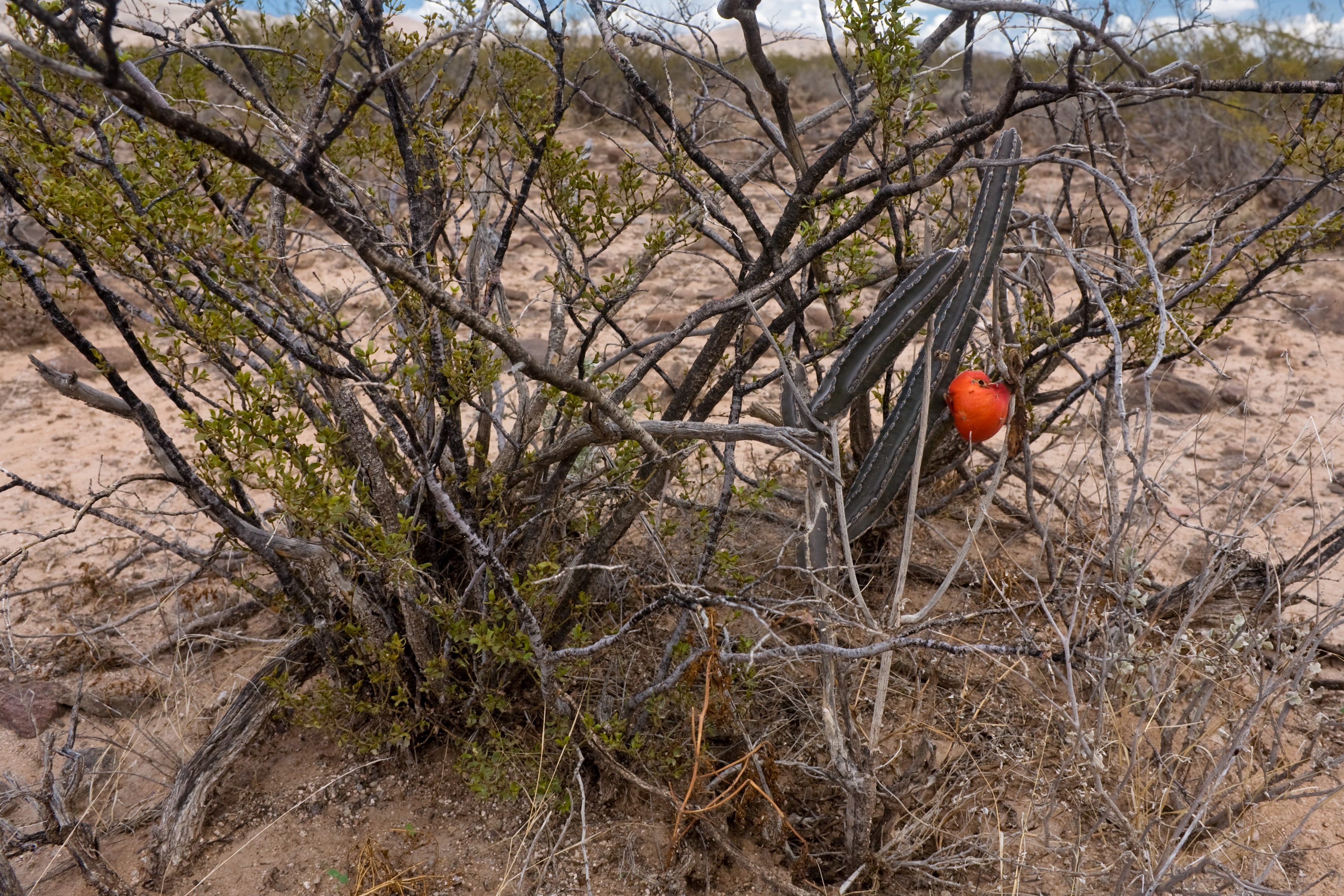
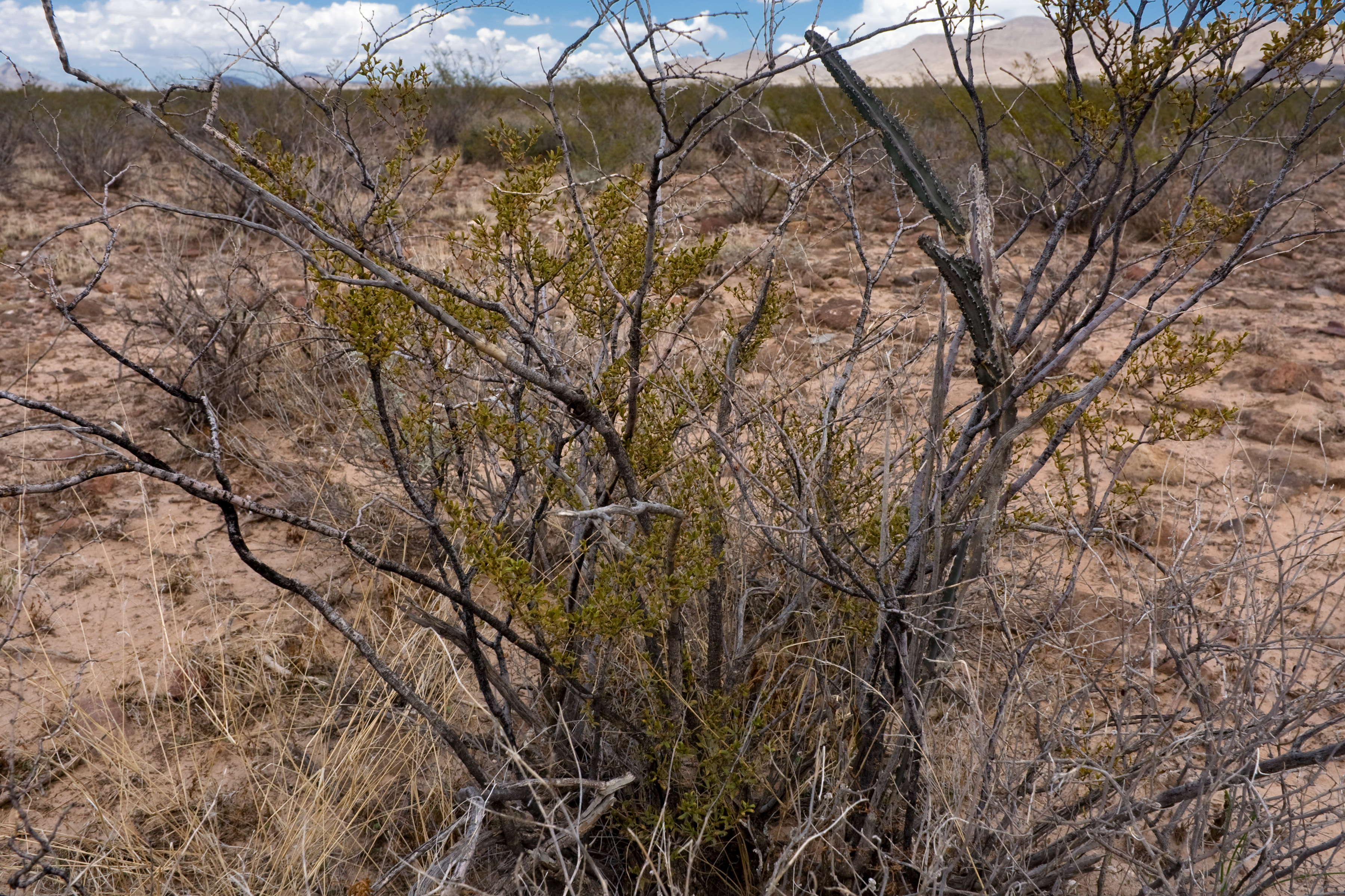
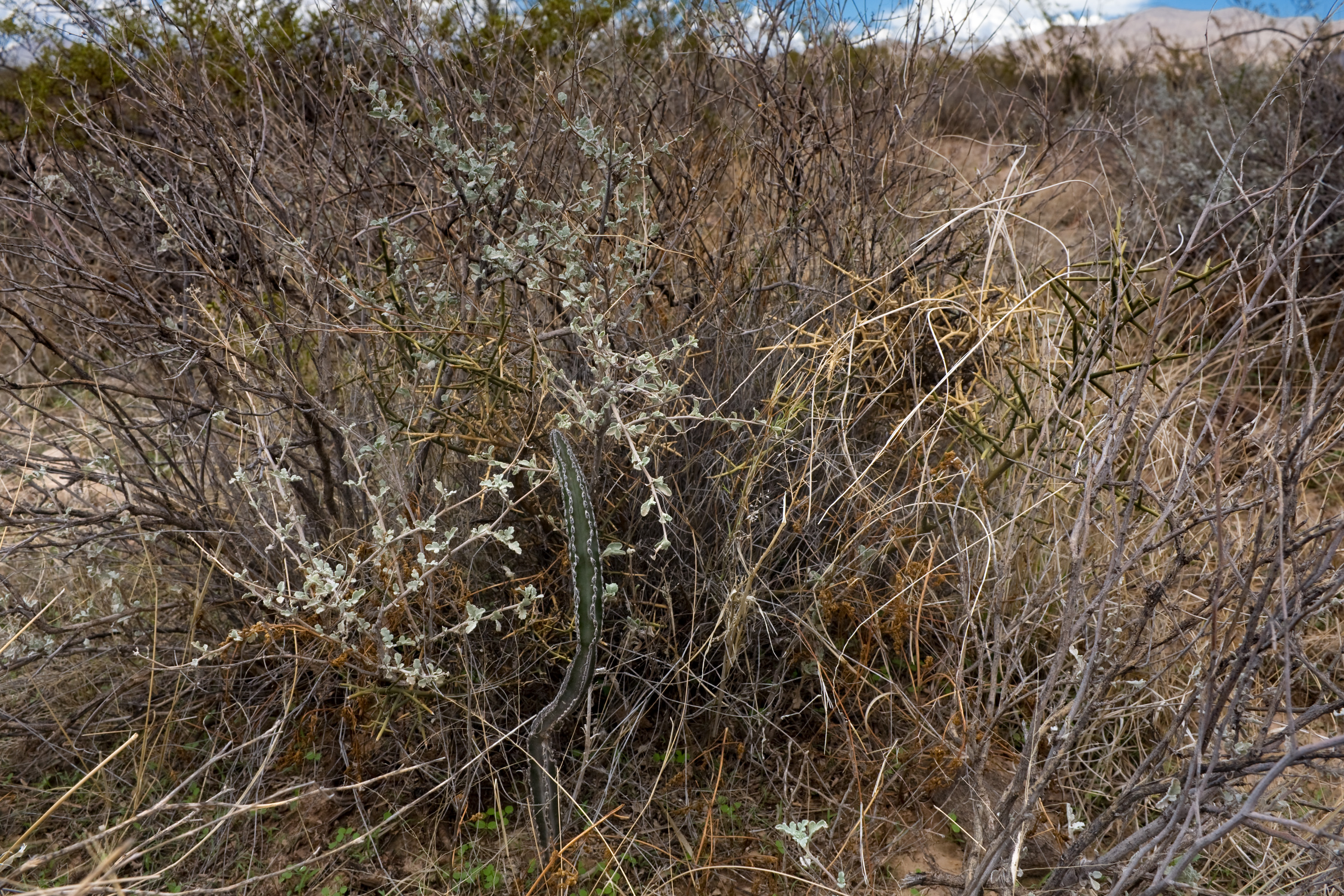
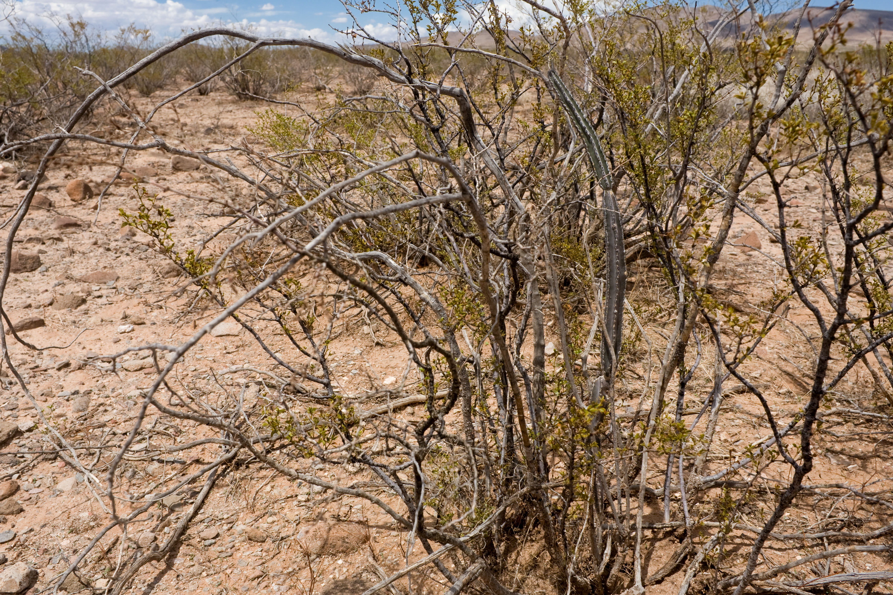
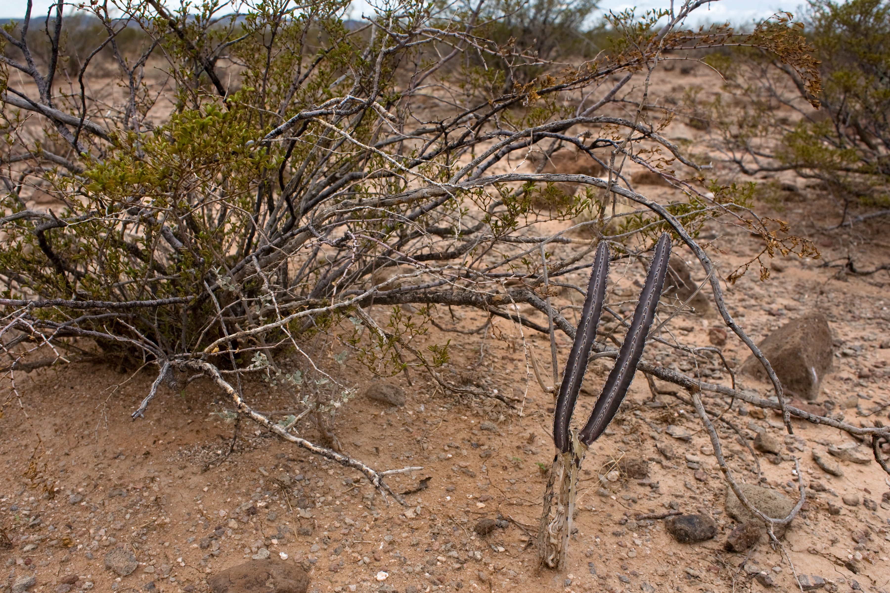
Finally, in an attempt to break the record for most pictures in a CLM blog post (if there is such a thing) here are a bunch of Peniocereus greggii var. greggii that we found. The basic problem with these critters is that they generally look an awful lot like dead sticks, and they usually live in the middle of shrubs (especially Larrea tridentata). This makes spotting them difficult. I think I’m getting the hang of it.

Yeah, that’s a lot of pictures of Peniocereus greggii var. greggii. However, my guess is that this is an average of 1 per 3 miles walked. They’re out there, but they are sparse and not easy to spot…