CLM: Fun with aerial imagery (1) (9 Feb 2015)

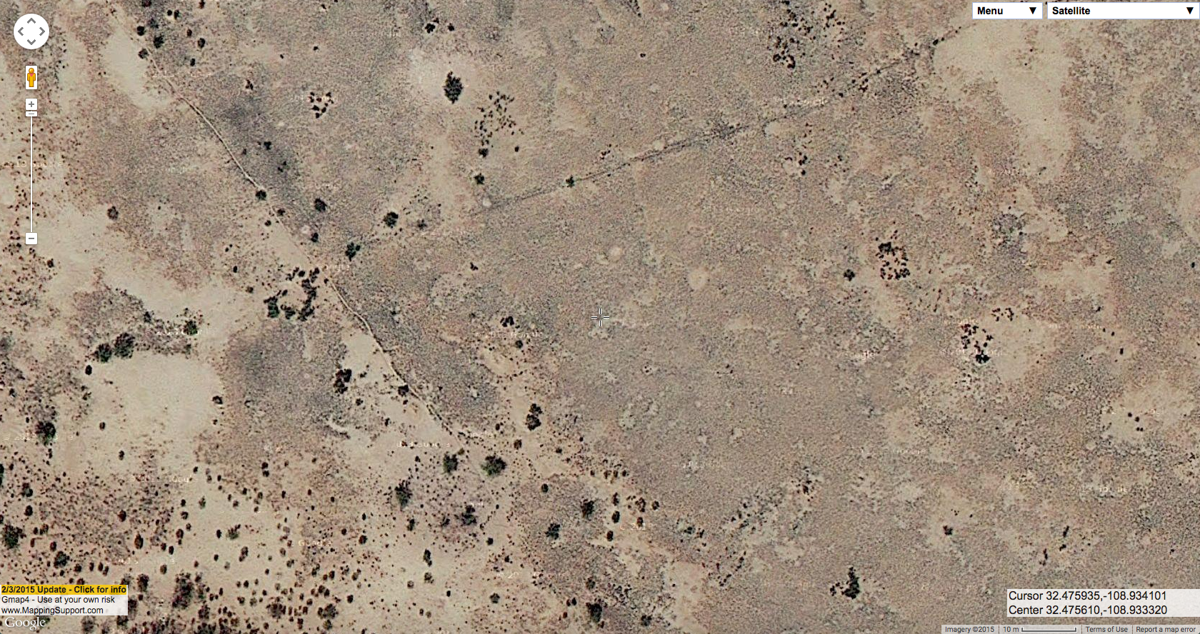
One of the basic challenges of any land management agency is figuring out what’s out there. The BLM Las Cruces District manages 5.4 million acres of public land. Although I do my best to get outside and visit as much of it as I can, that’s a lot of land to cover. There are many GIS layers we can use to get around this problem and understand what’s happening on the landscape in areas we can’t personally visit and experience, but one of the most informative is aerial imagery. Trying to understand aerial imagery is also, in my opinion, just about the most challenging and entertaining thing you can do with maps! My basic process in training myself to understand aerial imagery is to stare at maps for a while, guess what I’m looking at, and then go outside and see if I’m correct. Sometimes this is part of my job, sometimes this is just what I do for fun. Once you get a good sense of the relative scale of the different shrubs, what grasses to expect in what context, and the like, you can get a surprising amount of information from aerial imagery and, in reference to Stillman‘s recent post on this blog, sometimes you can even make out the stems of ocotillo from aerial imagery! Of course, there are still many things you can’t understand without being out on the ground.

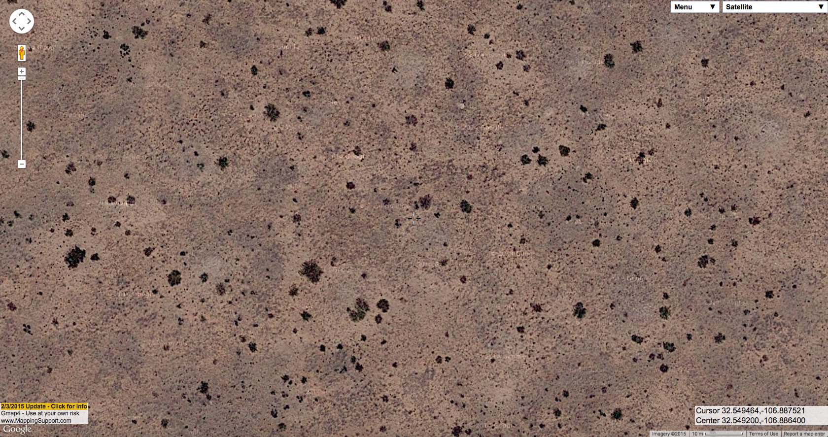
There are also various programs that implement basically the same approach in an automated computational framework. LANDFIRE, for instance, produces vegetation maps by taking vegetation plot data and then running GIS wizardry to interpolate and classify all of the areas between the plots. That’s useful, but not nearly as much fun. So here are some examples of what plant communities look like in aerial imagery vs. what they look like on the ground. I’m anticipating doing a few more posts like this, hence the “1″ in the title of this post.

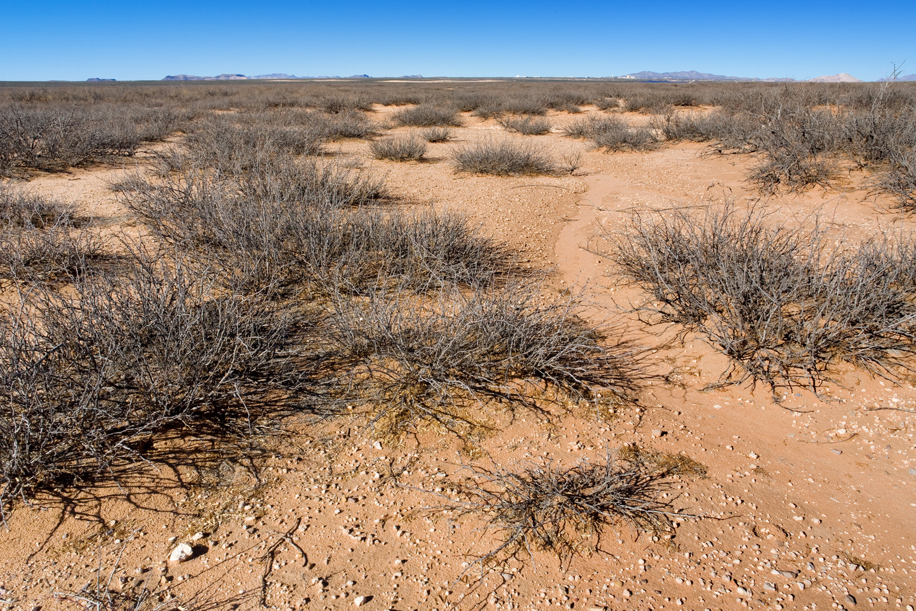
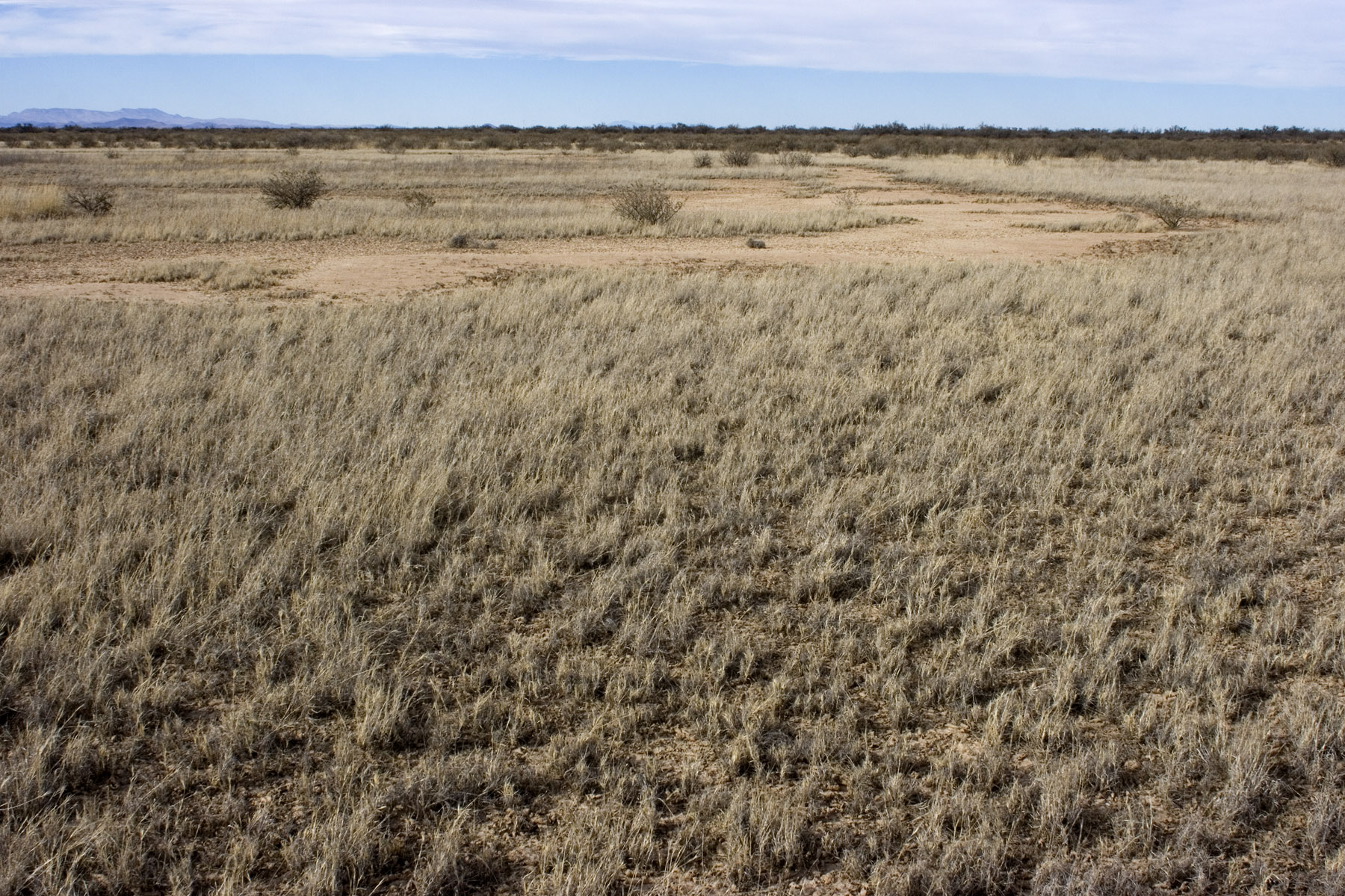
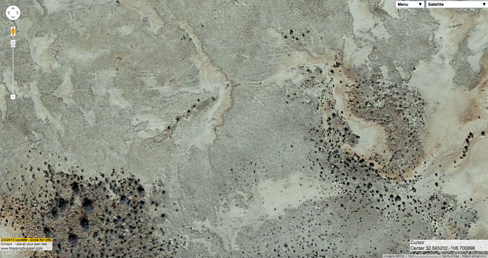
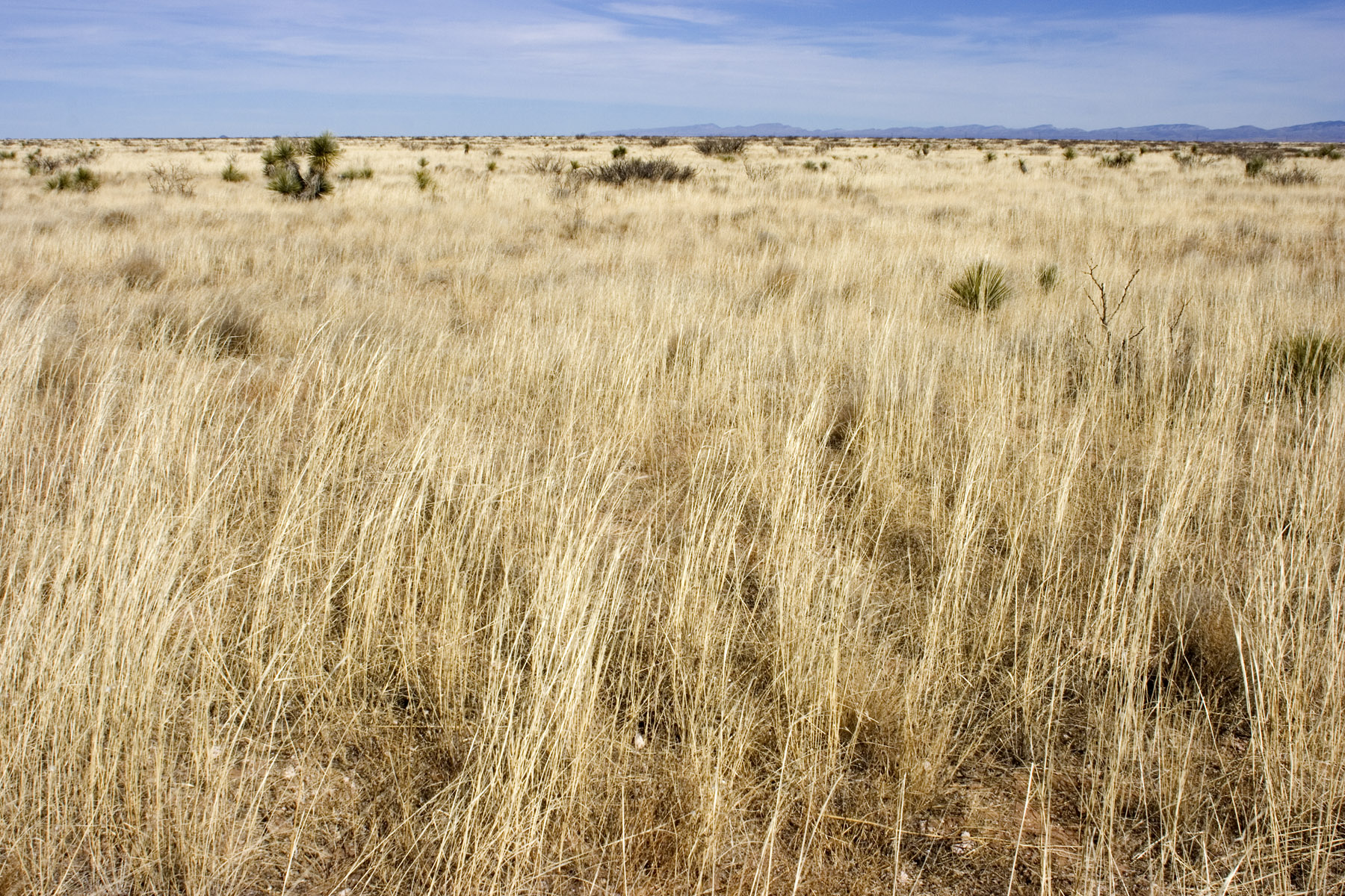
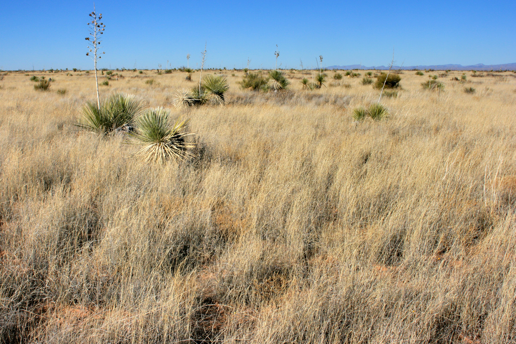
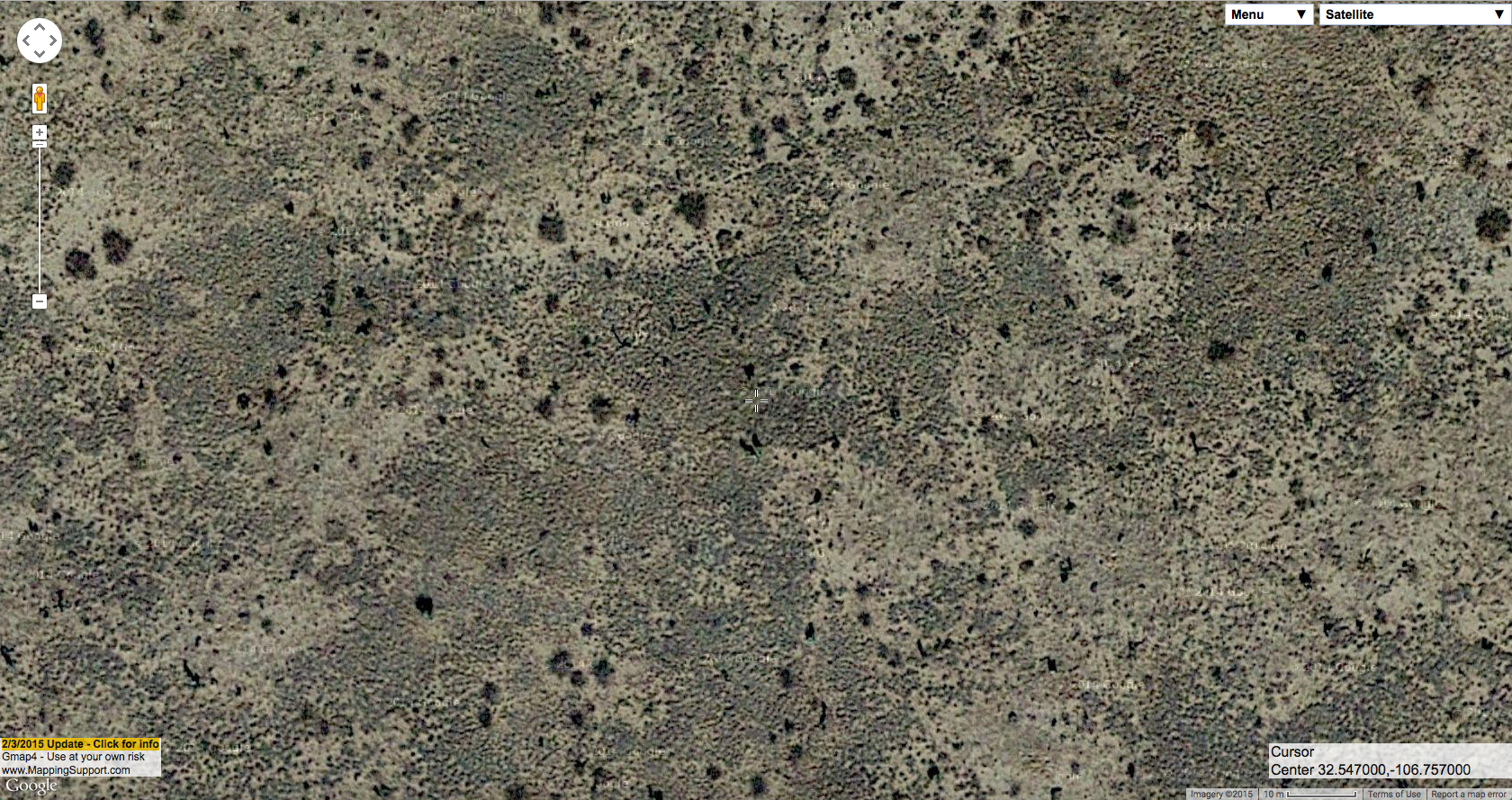
In the Las Cruces District, most of our vegetation is grassland or shrubland. Our two most abundant shrubs are Larrea tridentata (creosote bush) and Prosopis glandulosa (honey mesquite). Many of our grasses, especially Dasyochloa pulchella and Muhlenbergia porteri, are typically abundant hidden within either of these, or in the interspaces of shrubland rather than occurring as grassland. Our most abundant perennial “grassland” grasses include Pleuraphis mutica (tobosa), Scleropogon brevifolius (burrograss), Sporobolus flexuosus (mesa dropseed), and Bouteloua eriopoda (black grama). We also have a few ubiquitous annual grasses that sometimes form annual grasslands, most notably Aristida adscensionis (sixweeks threeawn). This is what they look like:

Larrea tridentata shrubland, on the ground:


Same site from the air:


Larrea tridentata shrubland, on the ground:


Same site from the air:


Prosopis glandulosa shrubland, on the ground:


Same site from the air:


Prosopis glandulosa shrubland, on the ground:


Same site from the air:


Pleuraphis mutica grassland, on the ground:


Same site from the air:


Pleuraphis mutica grassland, on the ground:


Same site from the air:


Scleropogon brevifolius grassland, on the ground:


Same site from the air:


Scleropogon brevifolius grassland, on the ground:


Same site from the air:


Sporobolus flexuosus grassland, on the ground:


Same site from the air:


Sporobolus flexuosus grassland, on the ground:


Same site from the air:


Bouteloua eriopoda grassland, on the ground:


Same site from the air:


Aristida adscensionis grassland, on the ground:


Same site from the air:


In that last aerial image, you might notice that Aristida adscensionis is basically invisible in aerial imagery, but looks like a thick carpet on the ground. The aerial photograph might have been taken in a dry year, or during the middle of summer when most of the annual grasses have dried up and blown away, or Aristida adscensionis might just be too diffuse to ever be visible in aerial imagery–it tends to form fairly uniform stands that don’t offer a whole lot of contrast. Yucca elata, on the other hand, is fairly sparse but stands out prominently in the aerial imagery–that’s what most of the dark blobs are, and in a few you can tell from the shadows that you are indeed looking at relatively tall, narrow plants (at least, if you click & open the full-size image!). The smaller dark speckles in there are a mixture of sparse perennial grasses (Sporobolus airoides and Sporobolus flexuosus), perennial forbs (mostly Croton pottsii), and small shrubs (Ephedra trifurca, some small, young Prosopis glandulosa) but not very intelligible in the aerial imagery. In the next post, I think I will dive into the various flavors of Prosopis glandulosa shrubland.

All aerial imagery is via Google, using screenshots from Gmap4.

CLM: Where I’ve been in the last year (13 Jan 2015)

A brief post this month. As we begin a new year, I decided to create a map of where I’ve been in the last one. Well, OK, I also included a few places I’ve visited so far this year; close enough. So, here it is:

I’ve highlighted the counties of the Las Cruces District Office in red. Each of those blue dots is a place where I’ve taken a picture and recorded what plants were there. About half of those dots are places I visited as part of my CLM internship, the other half are mostly recreational botanizing with a few trips that were part of my old job, before I started my internship, thrown in. I am steadily moving towards my goal of having been just about everywhere in southwestern New Mexico, but it’s a big place and I don’t think I’m going to run out of destinations any time soon. I’ve been here a decade and have still only visited 174 of the LCDO’s 608 grazing allotments, for instance. One of the things I’m really enjoying about working with the BLM is that it gives me a good excuse to go to a lot of places most botanists would never bother with. For instance, wandering around in mesquite shrubland for a few weeks is not very high on the priority list for most botanists, but I enjoy it and now I have more reason to do it. Looking at this map, I’m also remembering that I need to put more labels and legends on maps. Perhaps some people don’t immediately recognize, say, the outline of Otero County. Oh well.

In the coming year, I think I’ll start posting about plant communities and interpretation of aerial imagery. Examining aerial imagery and trying to figure out what you’re looking at is one of the most enjoyable mental puzzles out there, in my opinion, and also on my list of “fun things I get to do more often with the BLM”. Admittedly, I already spent what most would probably consider an unfathomable amount of time staring at maps!

CLM: More scurfpeas and Nerisyrenia hypercorax (10 Dec 2014)

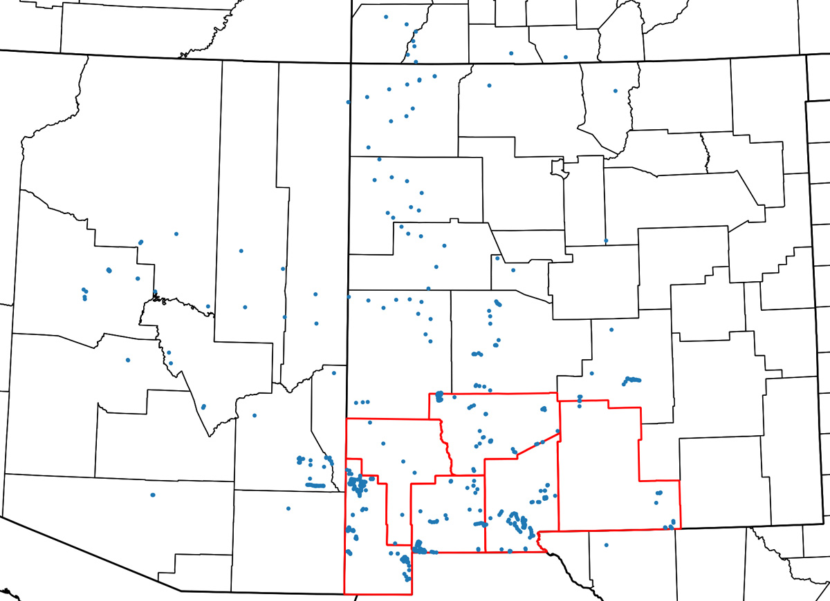
As of 2008 there were only two known populations of Pediomelum pentaphyllum, one in southwestern New Mexico and one in southeastern Arizona. Other populations had been reported in the past, but either could not be found in recent surveys or had sufficiently vague localities that no one was really sure where to search. I mentioned one of those vague localities in a previous post here, a Mexican Boundary Survey specimen that was collected in the general vicinity of the Rio Grande somewhere between Doña Ana and Big Bend. It could be in New Mexico, Texas or Chihuahua–good luck! In 2008, Pediomelum pentaphyllum was petitioned for listing under the Endangered Species Act based, in part, on this very limited distribution. Here’s an approximate map of the known populations in 2008:

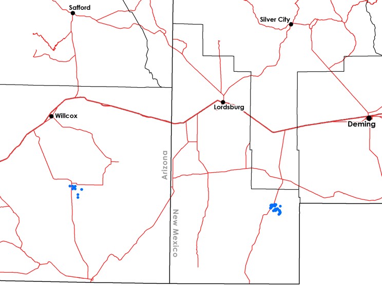
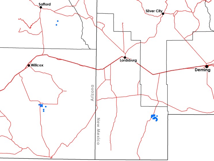
Over the next few years, more searches were made. My first, very brief, work with the BLM was one of these, wandering around for a couple of weeks and finding all kinds of fun plants but no Pediomelum pentaphyllum whatsoever. A couple of botanists in Arizona (Marc Baker and Laura Pavliscak) did succeed in finding a couple of new populations (or one bigger population, depending on how you want to look at it; “population” is essentially an undefined term!), though. So, that puts us up to threeish populations:

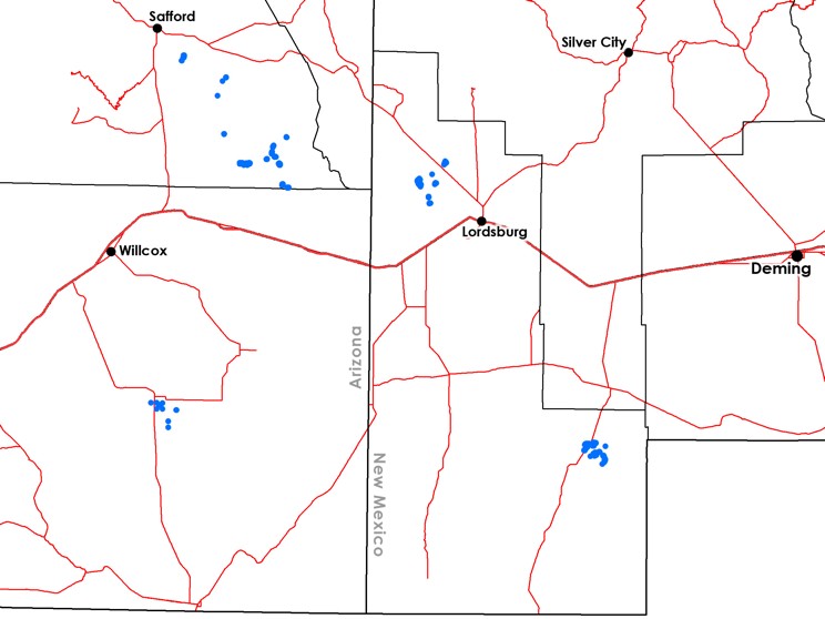
However, this year either conditions were better, the botanists conducting surveys were better, or (most likely) we were just plain lucky! More populations in Arizona and New Mexico were found by myself, Joneen Cockman of the Safford Field Office, and our associated field crews. I don’t know how you might count the number of populations at this point but the gist is there are a fair number of them–and more being found, last I heard from Joneen! Pediomelum pentaphyllum is starting to look a bit less rare:

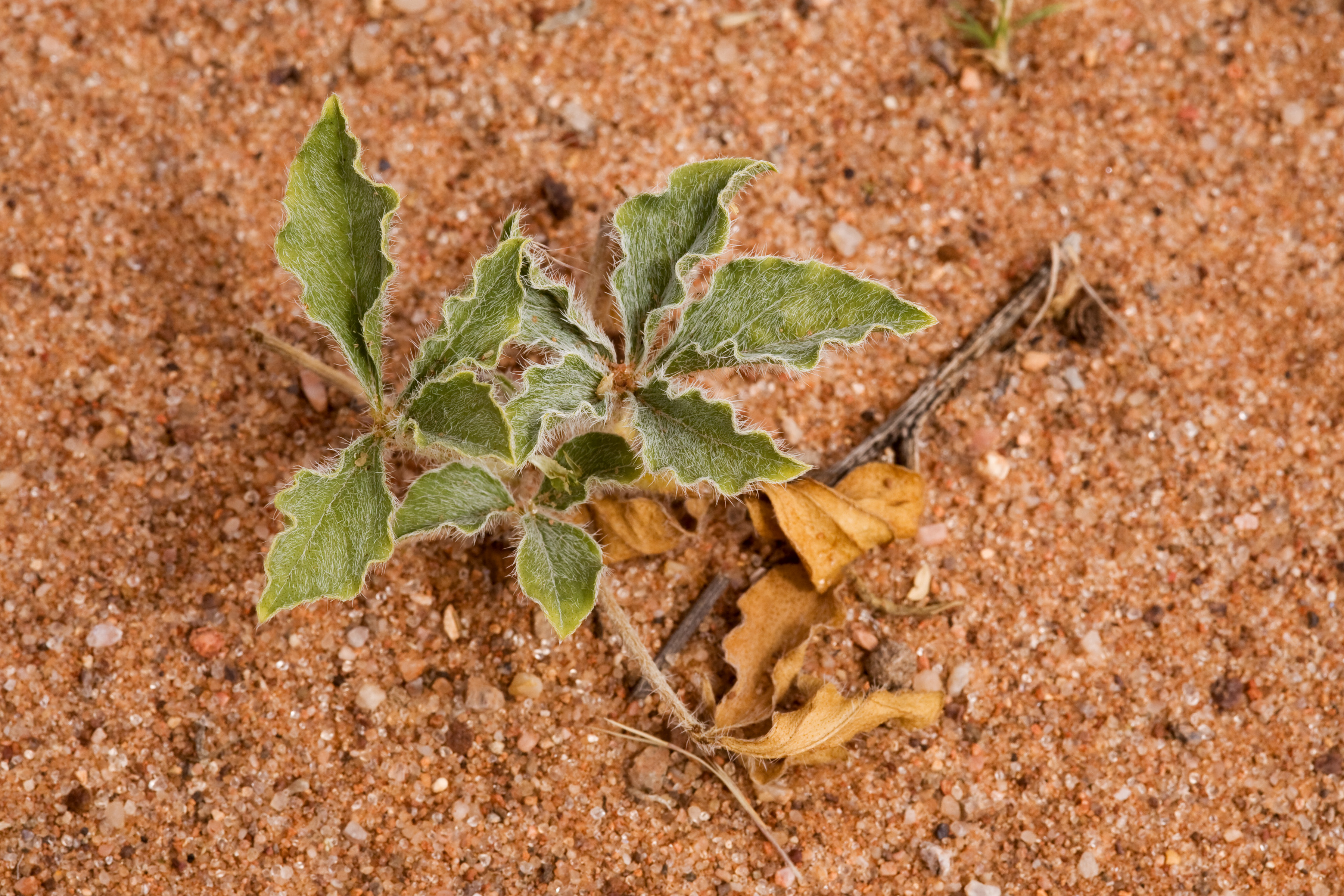
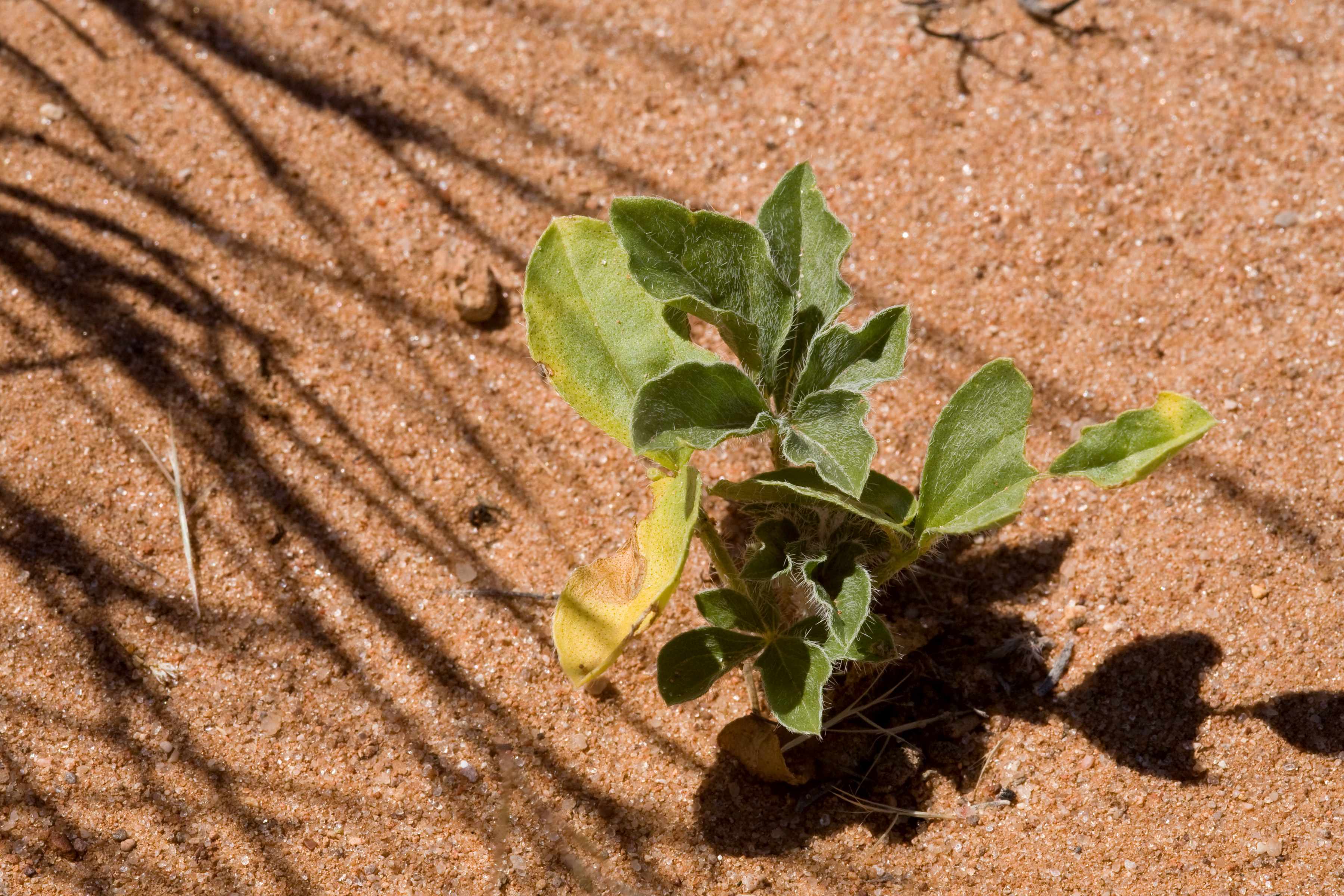
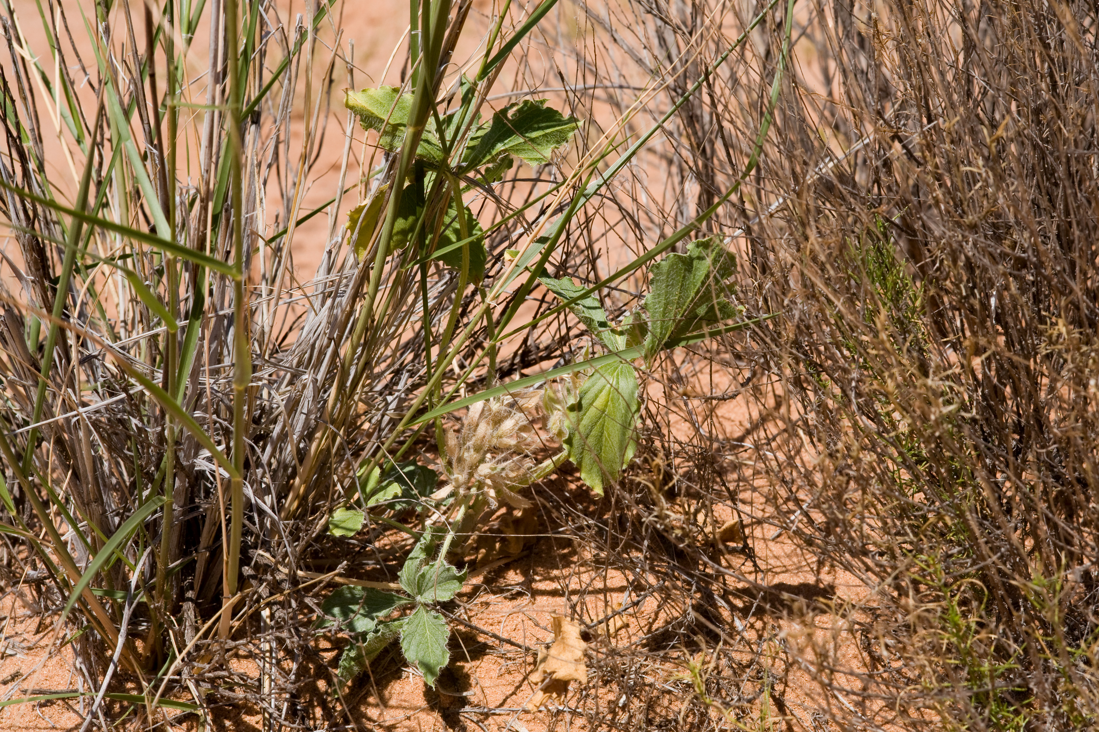
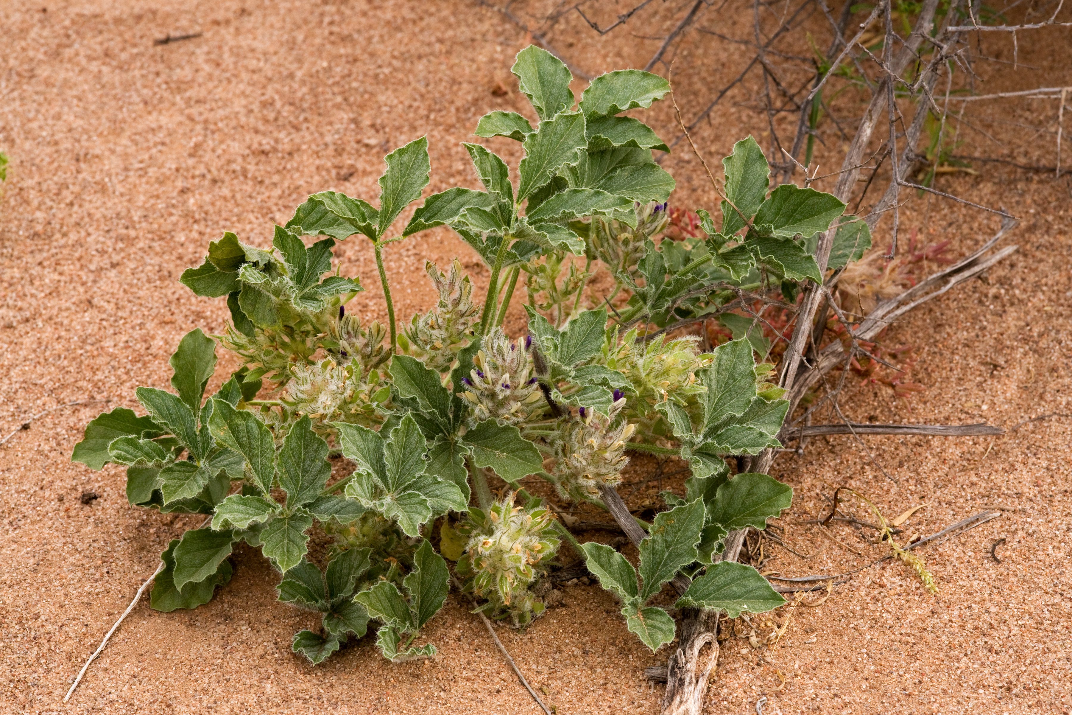
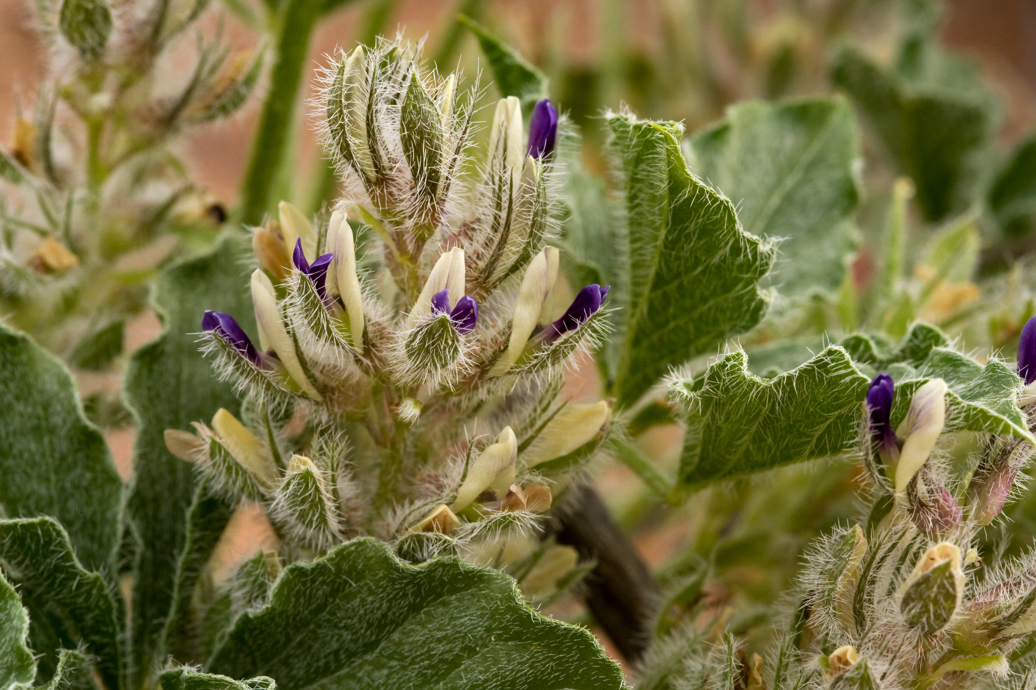
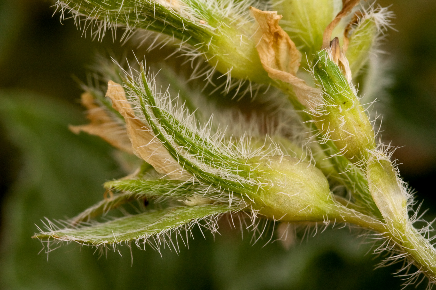
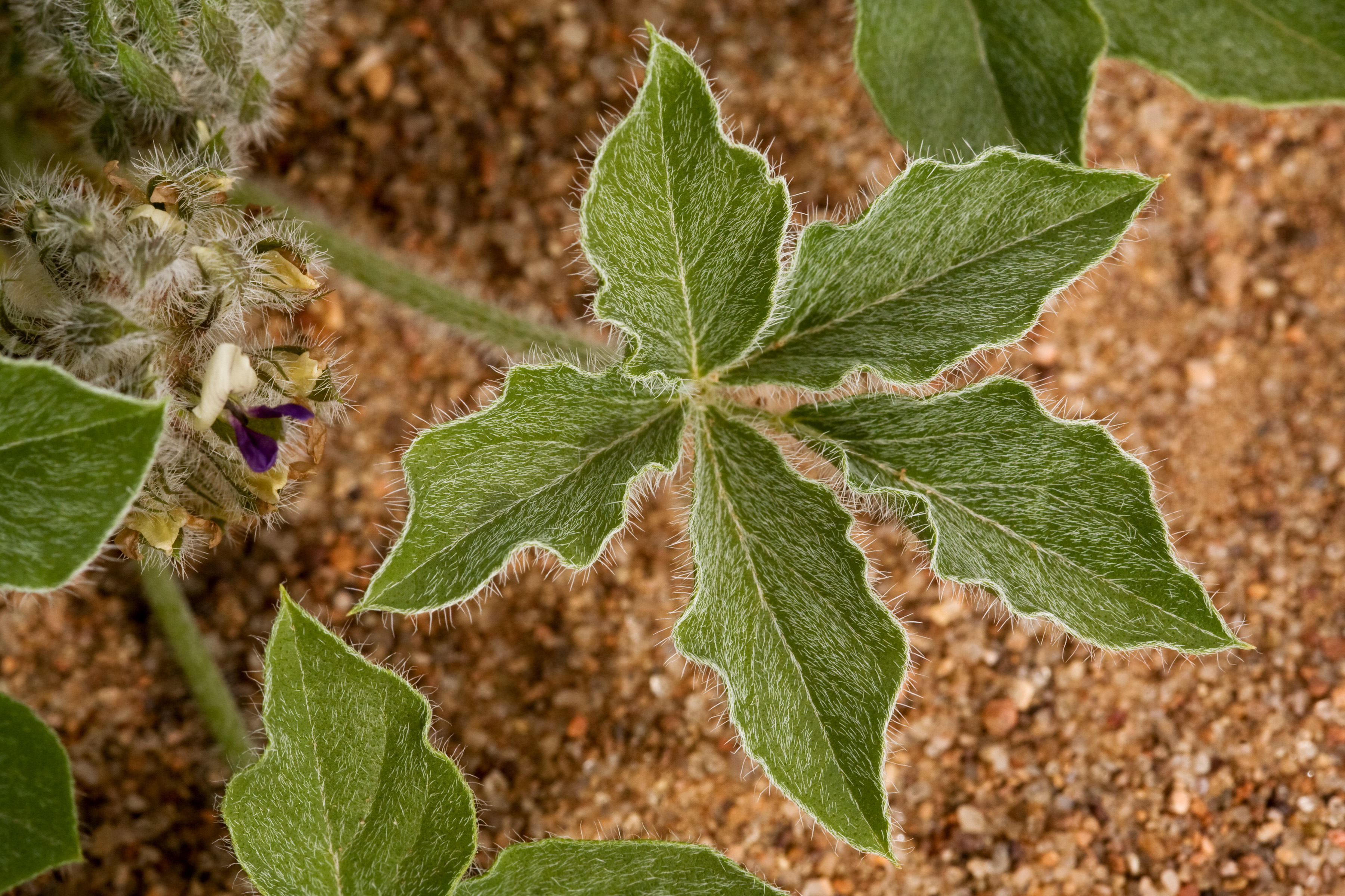
Just in case you’ve forgotten what Pediomelum pentaphyllum looks like, here are a few more pictures of it:

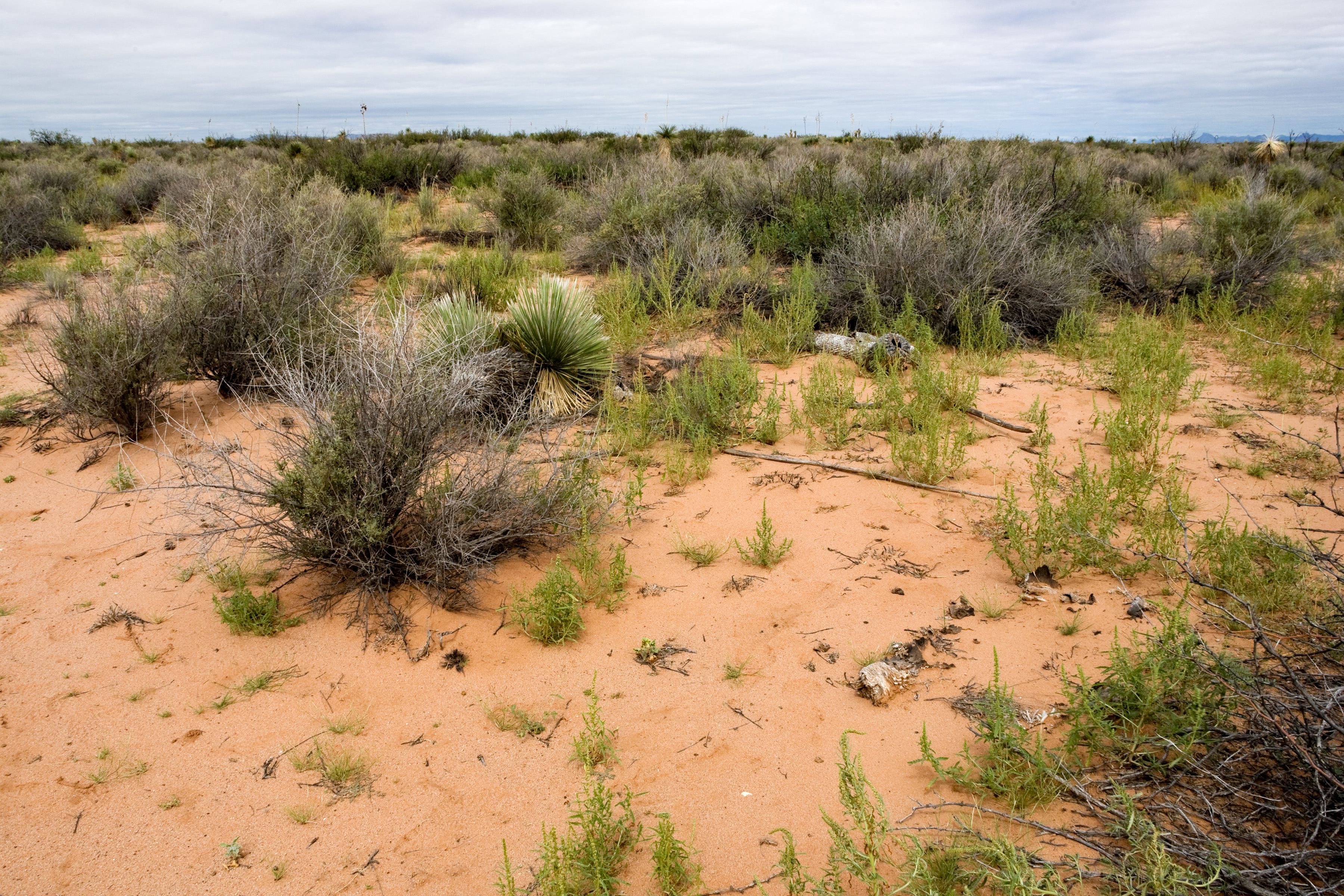
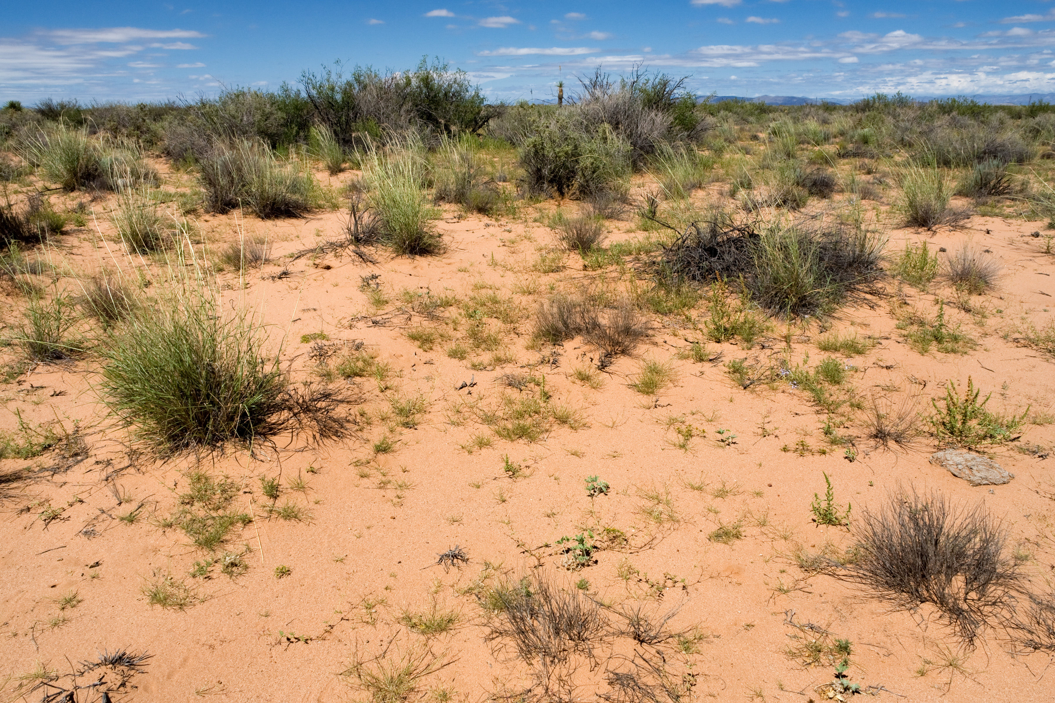
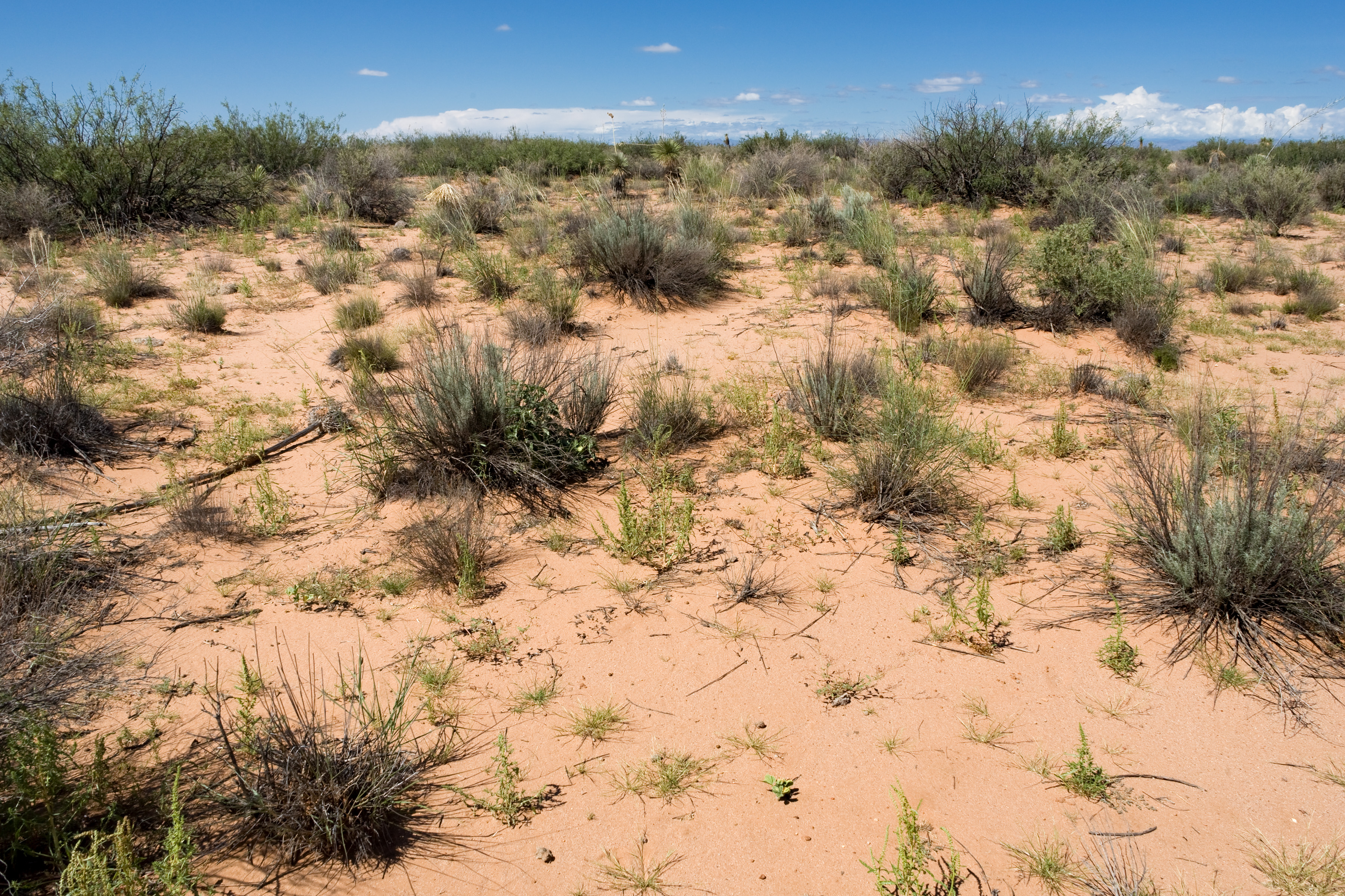
And here’s what the habitat looks like for several of the new populations. Try spotting the Pediomelum pentaphyllum–there’s at least one in each photo!

I think we’re starting to get a better idea of the habitat Pediomelum pentaphyllum likes. All of the new populations found this year were in loose, sandy soil with Prosopis glandulosa and “other shrubs”. The other shrubs could be Artemisia filifolia, Atriplex canescens, Atriplex polycarpa, Lycium pallidum, or Larrea tridentata–but in any case it’s not just our typical boring mesquite shrubland. Hopefully, as we continue to refine our idea of good Pediomelum pentaphyllum habitat, we’ll be able to keep finding more populations and have a better idea of where it isn’t going to be found as well. I also learned this year that some populations of Pediomelum pentaphyllum are guarded by Crotalus scutulatus:

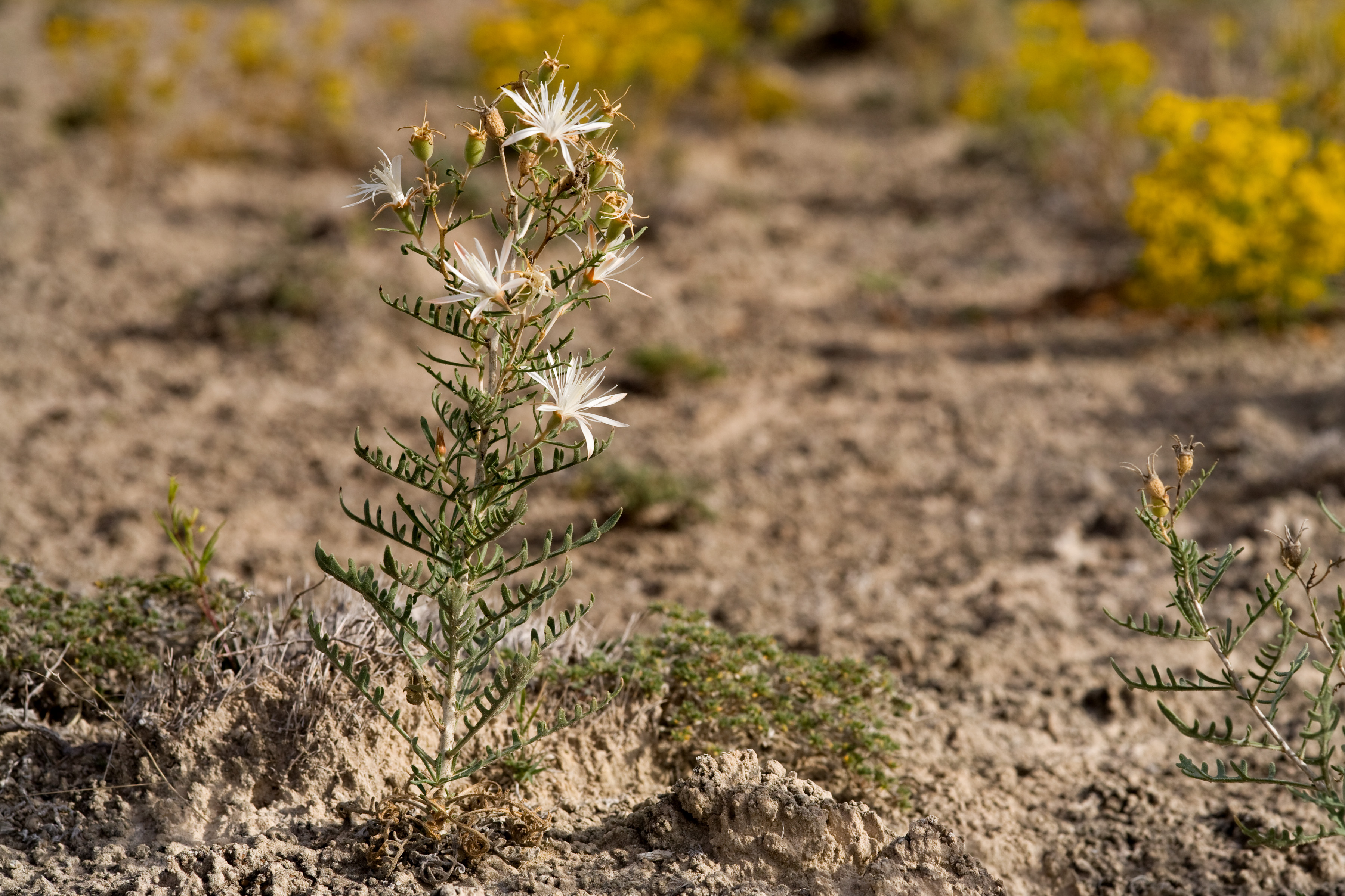
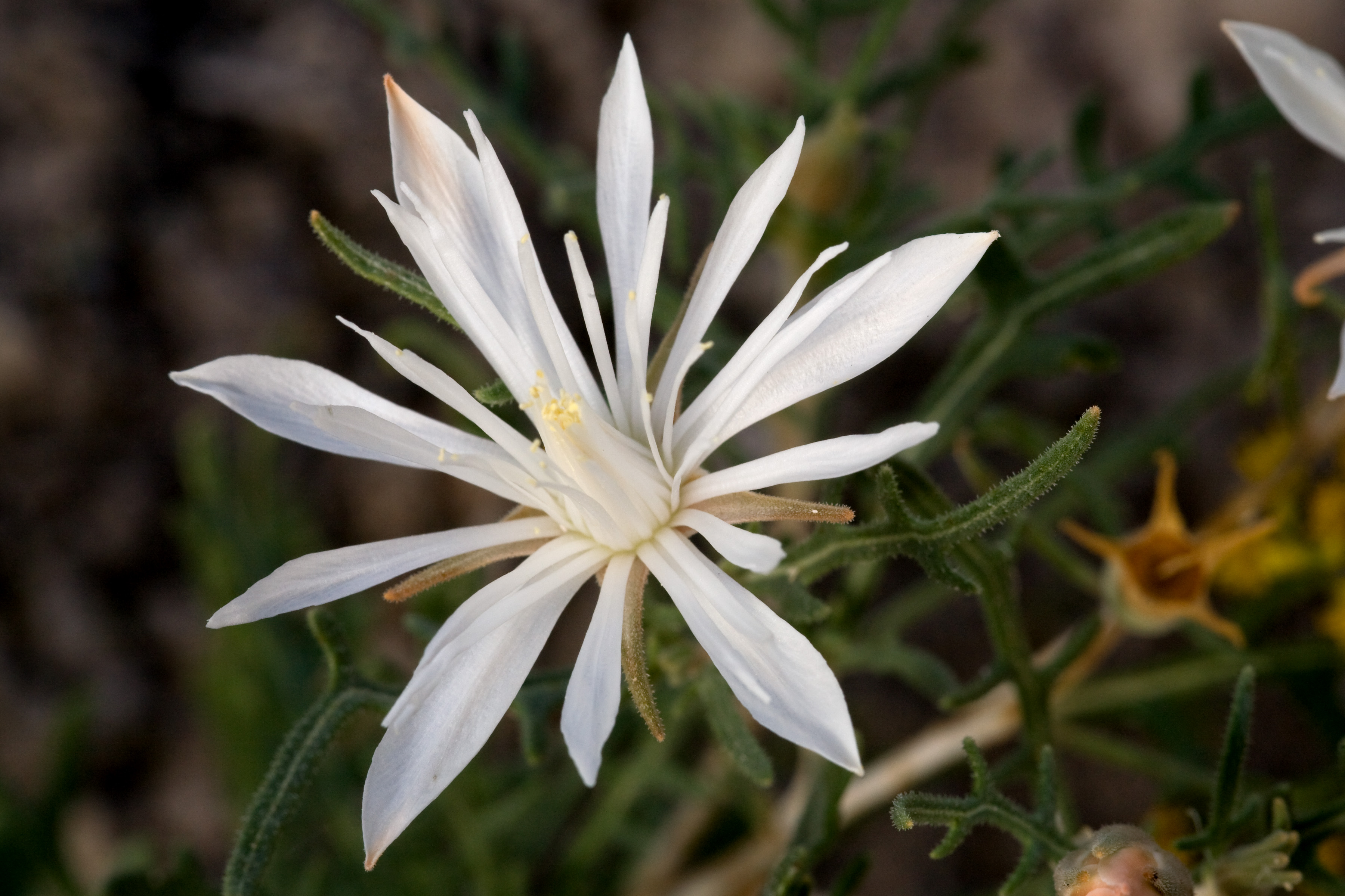
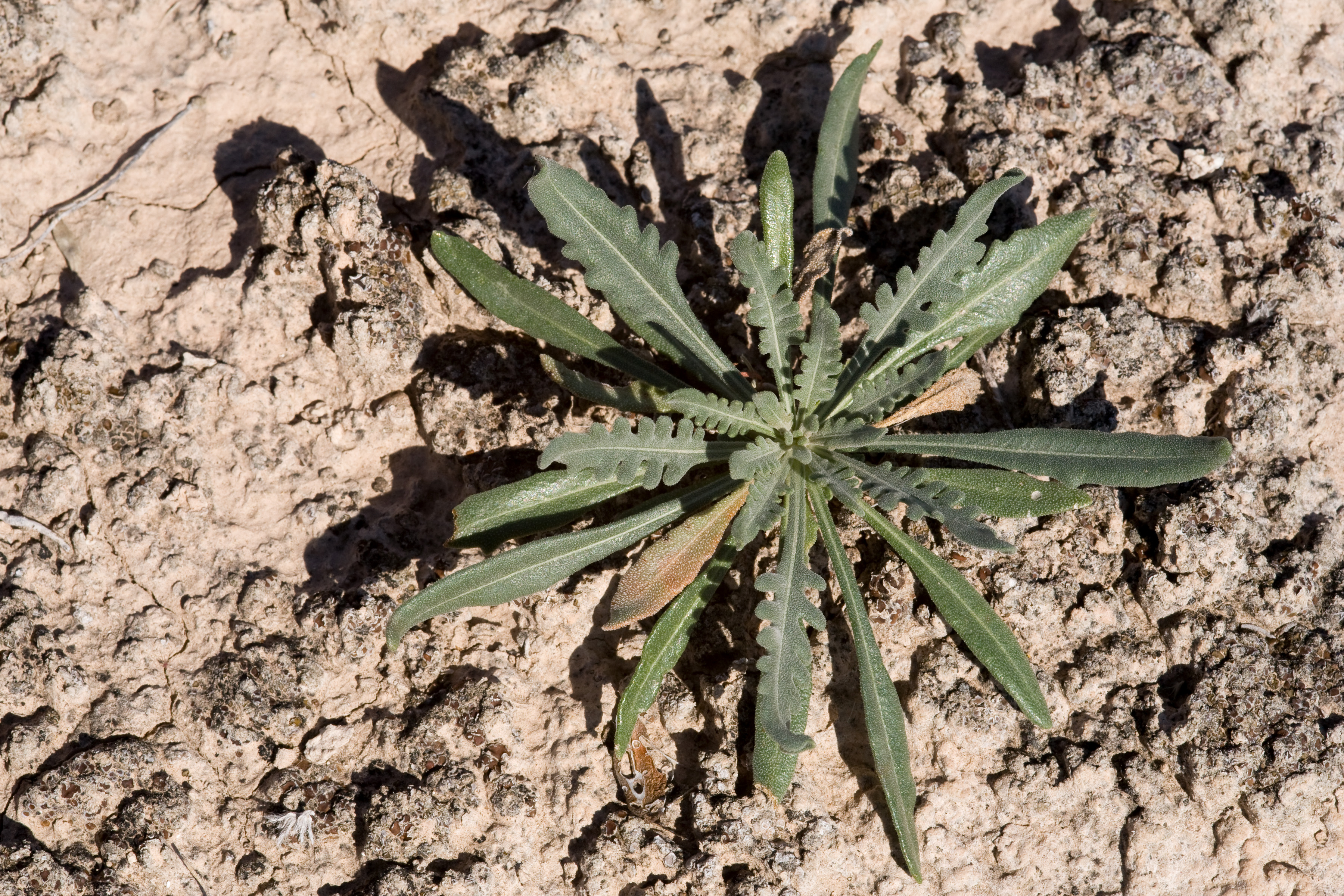
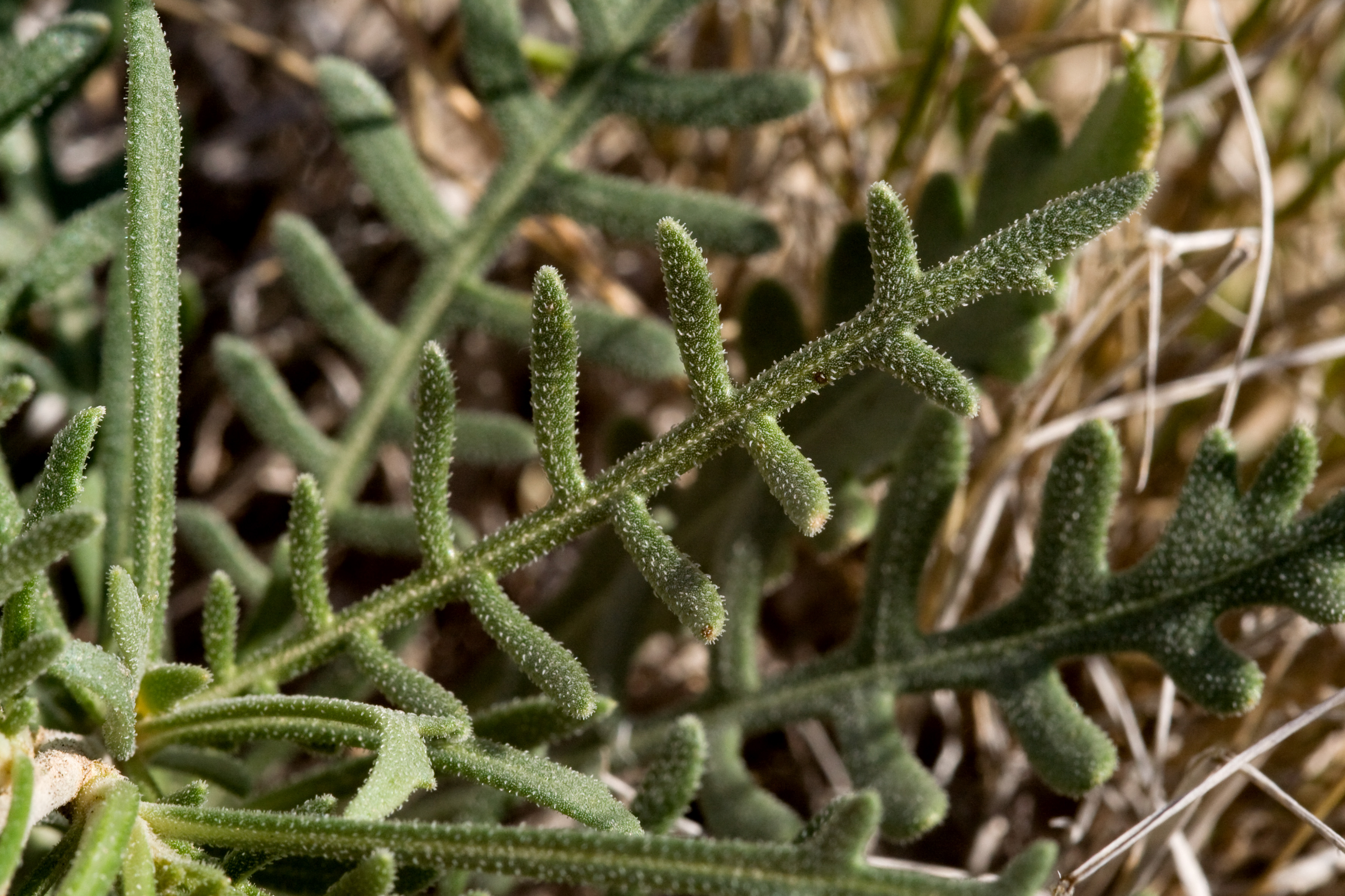
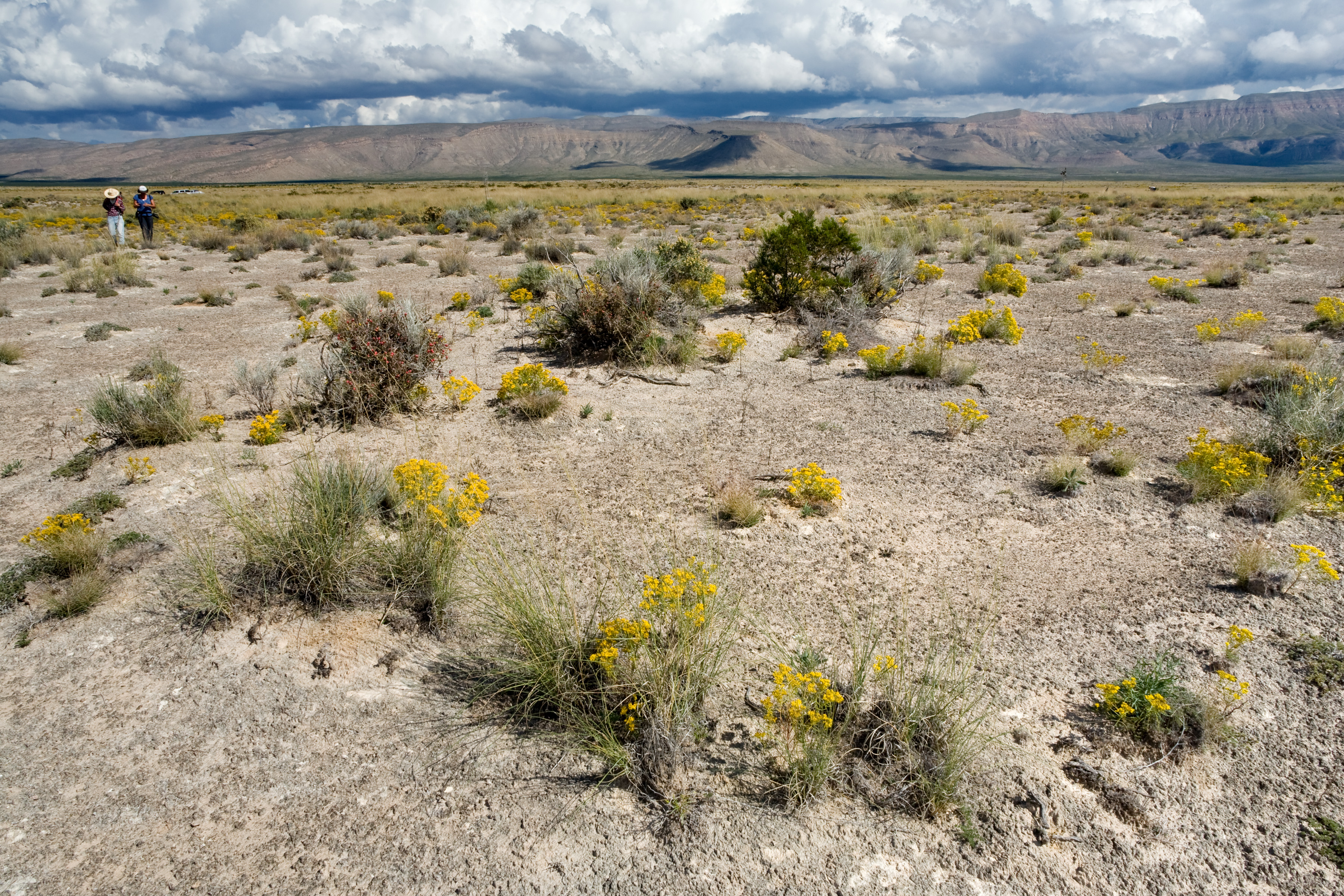
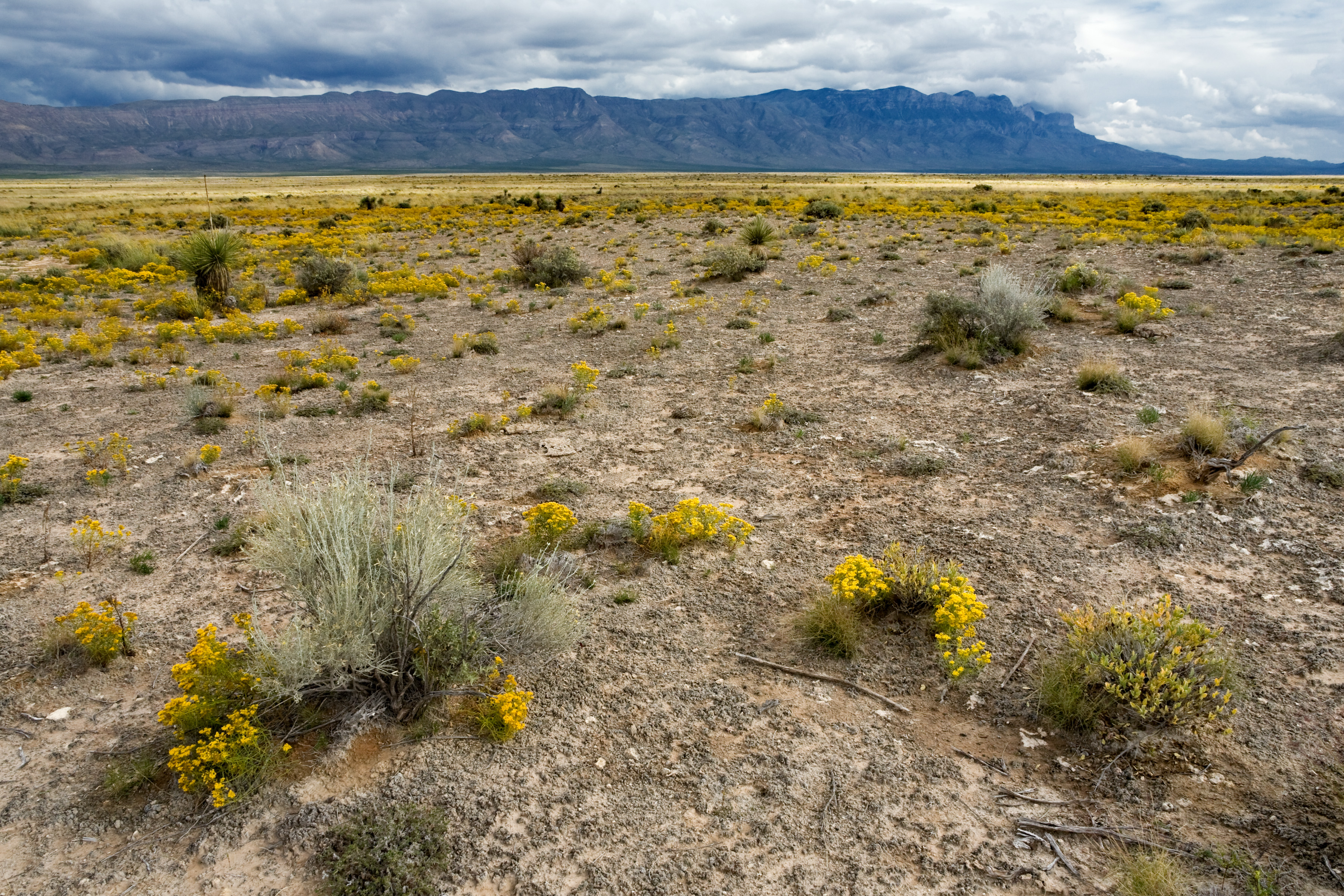
The other exciting development here is that Nerisyrenia hypercorax, a new species we (Michael Moore, Norm Douglas, Helga Ochoterena, Hilda Flores-Olvera, and I) discovered last year on the west side of the Guadalupe Mountains, has been published in the Journal of the Botanical Research Institute of Texas. There’s also an episode of Plants are Cool, Too! that includes this species. Nerisyrenia hypercorax is a gypsophile, meaning it occurs only on soils high in hydrated calcium sulfate, a.k.a. gypsum. As you may have guessed from my post about Alkali Lakes, gypsum in New Mexico is home to a whole slew of rare plants and makes for excellent botanizing–at least, provided you avoid some of the worst of summer heat, which seems to be amplified on gypseous soils! We keep finding new species on gypsum–Michael Howard, our soon-to-be-retired state botanist, found another new gypsophilic plant (Linum allredii) just a couple years ago. And, of course, I have pictures of Nerisyrenia hypercorax:

And of its habitat:

CLM: Alkali Lakes (6 Nov 2014)

There have been some more exciting developments in the land of Pediomelum pentaphyllum, which I’ll probably discuss in more detail in my next post. The short version is that there were previously two broadly-defined populations known in Arizona. Now there are, depending on how broadly you want to define them, four or five! Put that on top of the new population we found in New Mexico, and we’ve gone from three populations to six (or seven) this year. It’s still rare, but it’s looking like Pediomelum pentaphyllum is at least in better shape than we thought. For the next few days, I’m going to go look for more–amazingly, they’re still up, at least in southeastern Arizona. This goes on my list of reasons I love the southwest. Not too many places have good botanizing in November!

For the moment, here are some photographs of another rare plant in the Las Cruces District. On the 21st of October, I went out to Alkali Lakes to tag along on a research trip by Evelyn Williams of the Chicago Botanic Garden. Evelyn has been studying Lepidospartum burgessii. This is a rare shrub found only on gypsum, in two populations on the west side of the Guadalupe Mountains (one in New Mexico, one in Texas) that has been the focus of research on both its population genetics and reproductions. It rarely (if ever) produces viable seed and has been difficult to propagate from cuttings, but we might have gotten some good seed on this trip–the rate of apparently well-developed fruits is very low, but perhaps it isn’t zero.

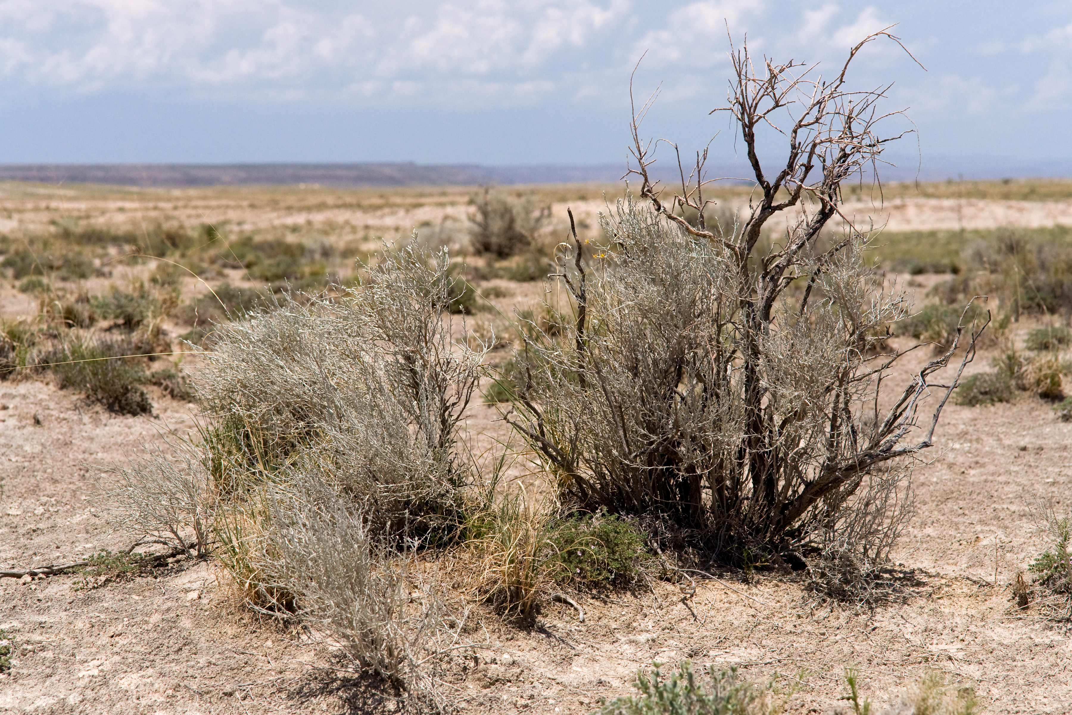
The New Mexico population is at the Alkali Lakes Area of Critical Environmental Concern, an area of low hills of gypseous clay around low, dry depressions (a.k.a. “lakes”). Lepidospartum burgessii is not an immediately appealling plant. From a distance, it looks like a fairly anonymous grey shrub:

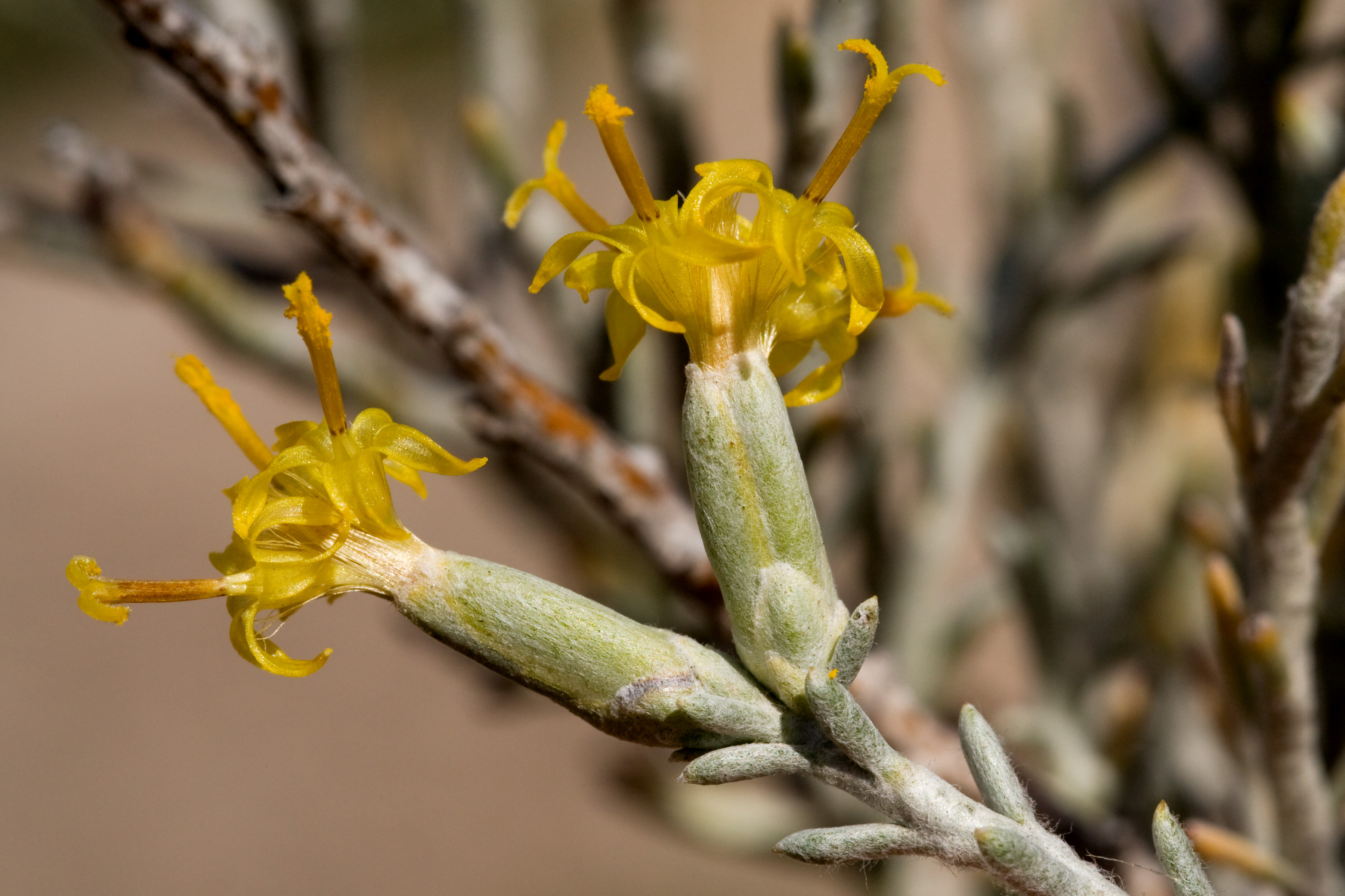
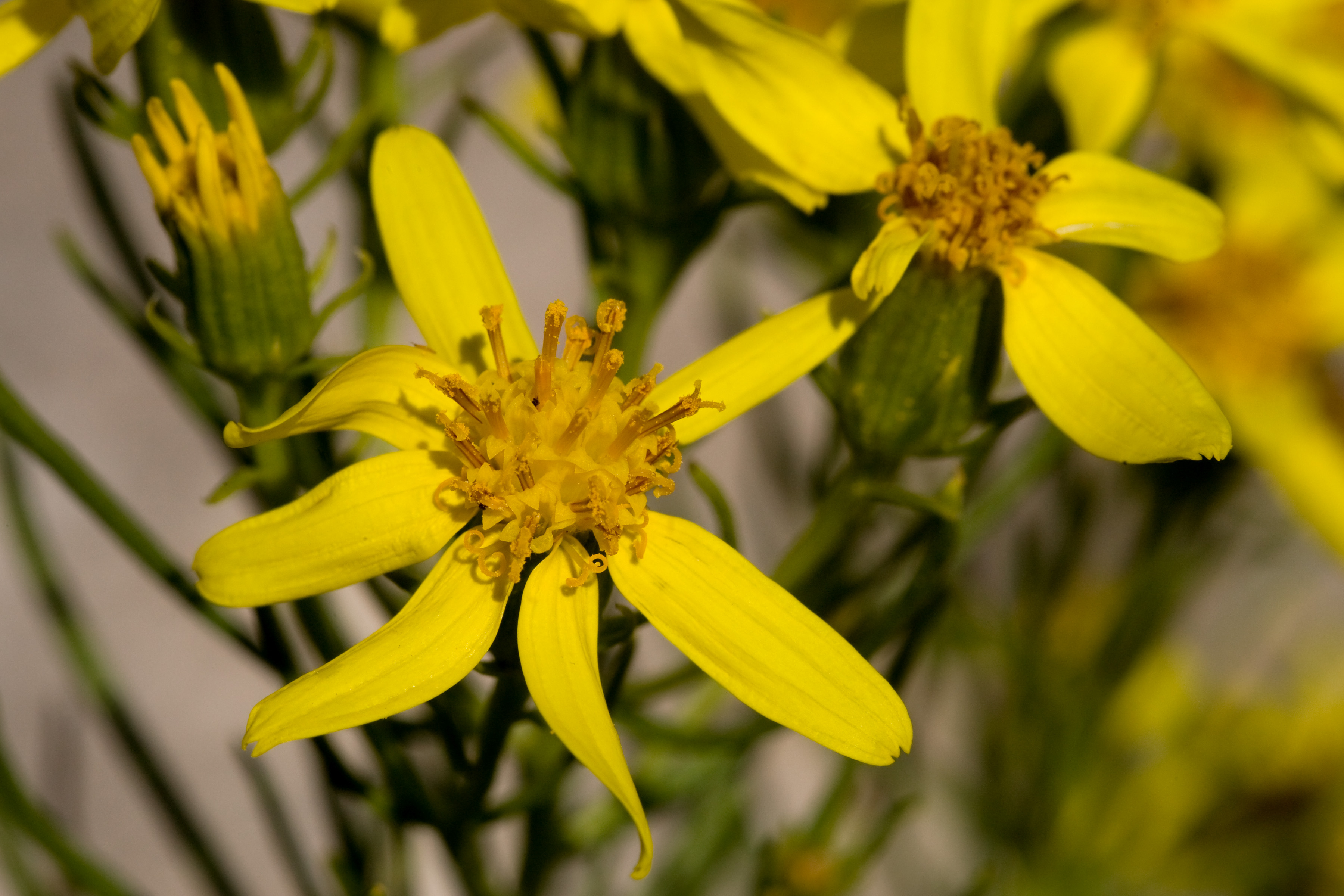
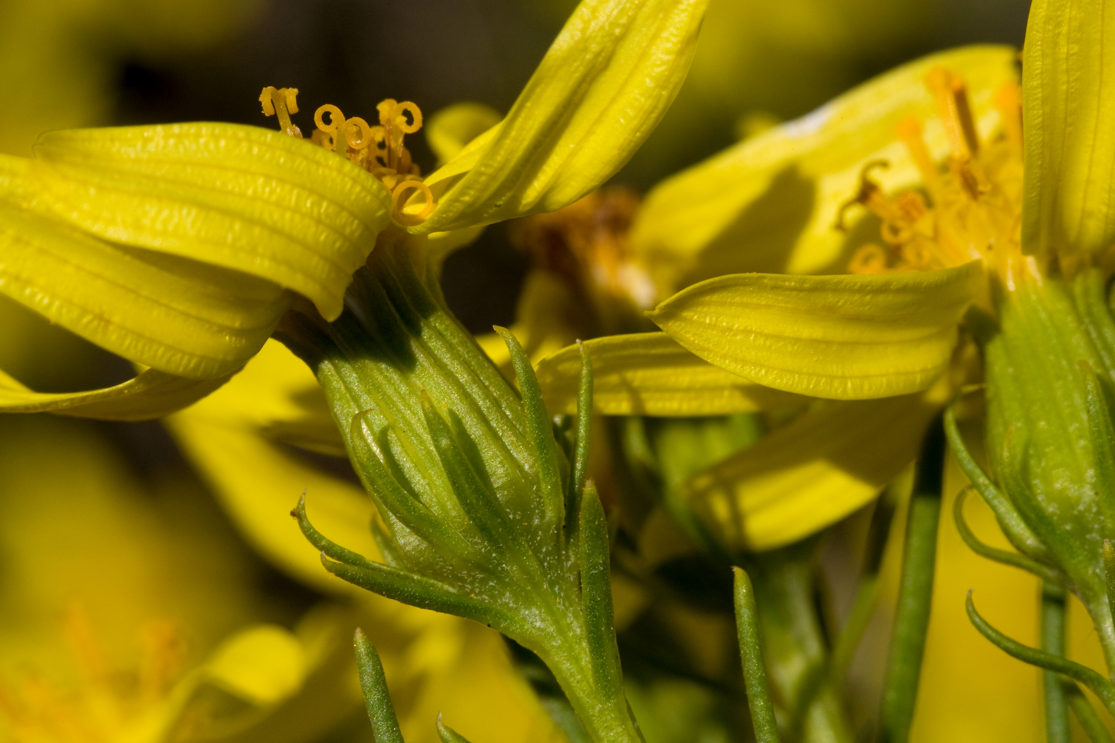
On closer inspection, though… well, it still looks like a fairly boring shrub, to be perfectly honest, but it does have nice little yellow flowers rather like those of Ericameria nauseosa:

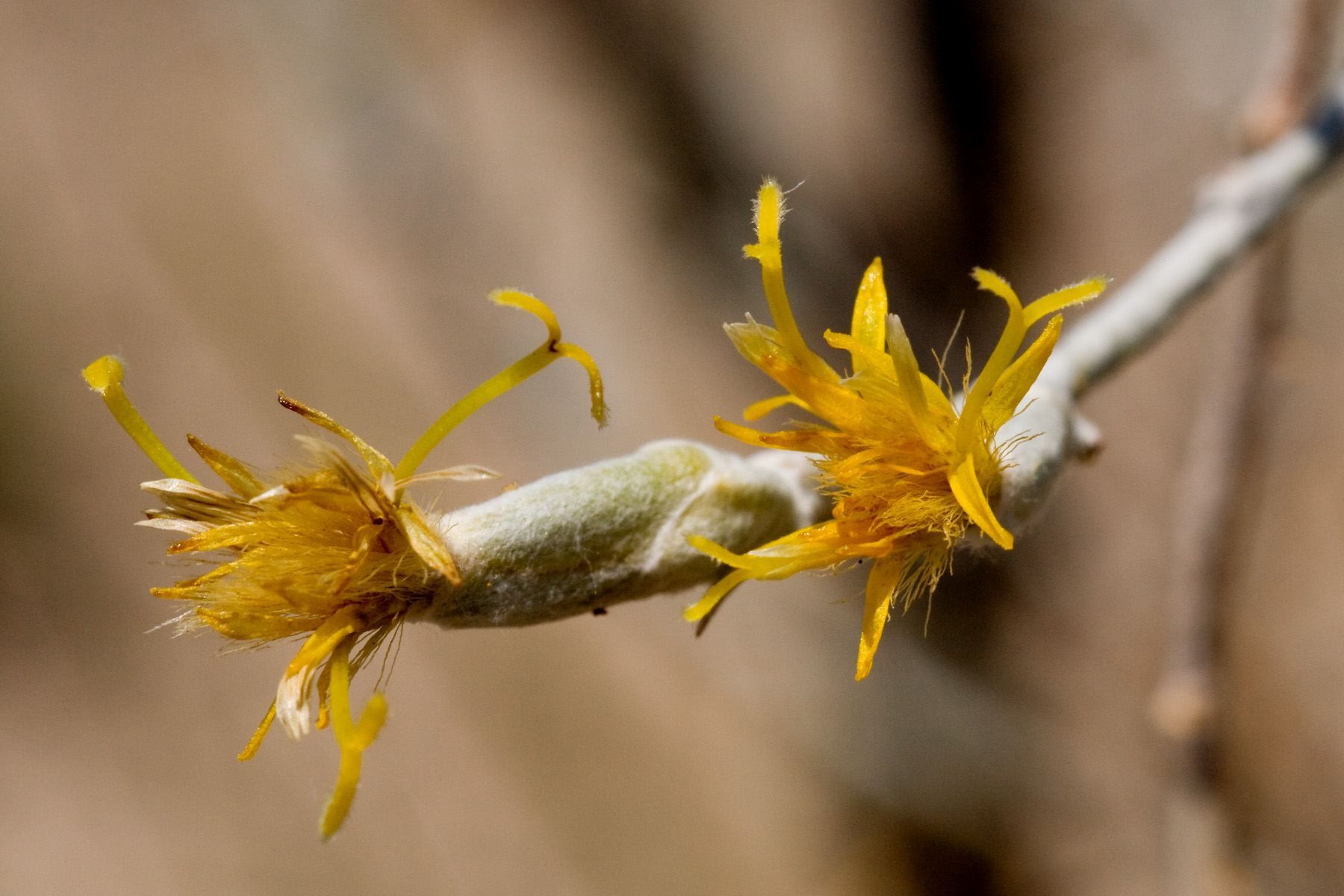
Later, it has nice fluffy pappus which is attached (unfortunately) to mostly shriveled empty fruits:

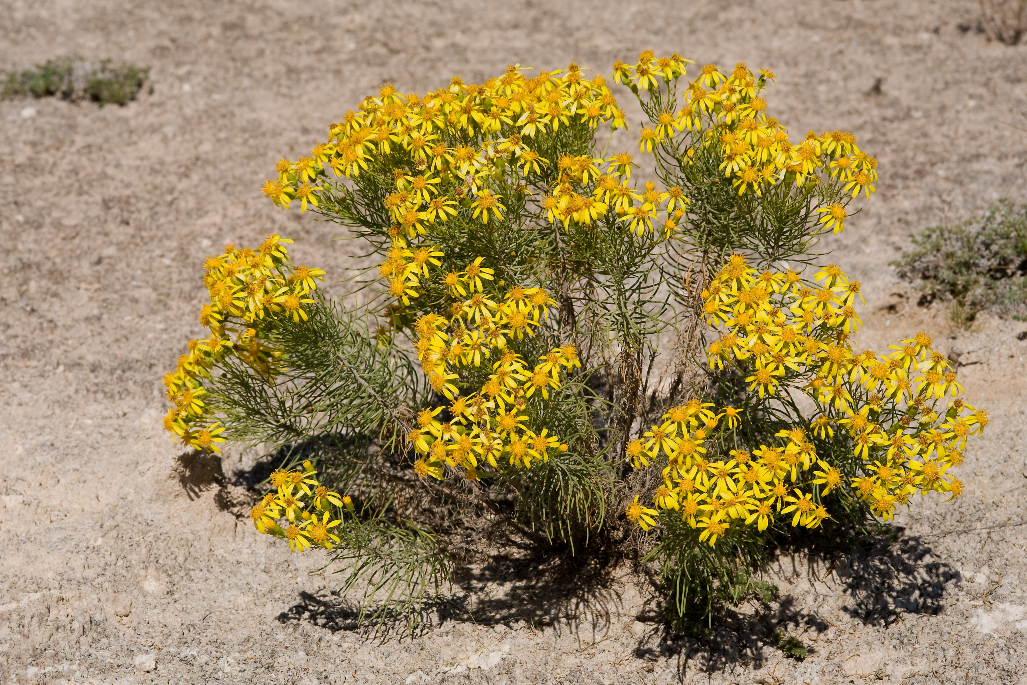
The Alkali Lakes is also home to a variety of other uncommon plants that are found only on gypsum, including Senecio warnockii:

And Mentzelia humilis var. humilis:

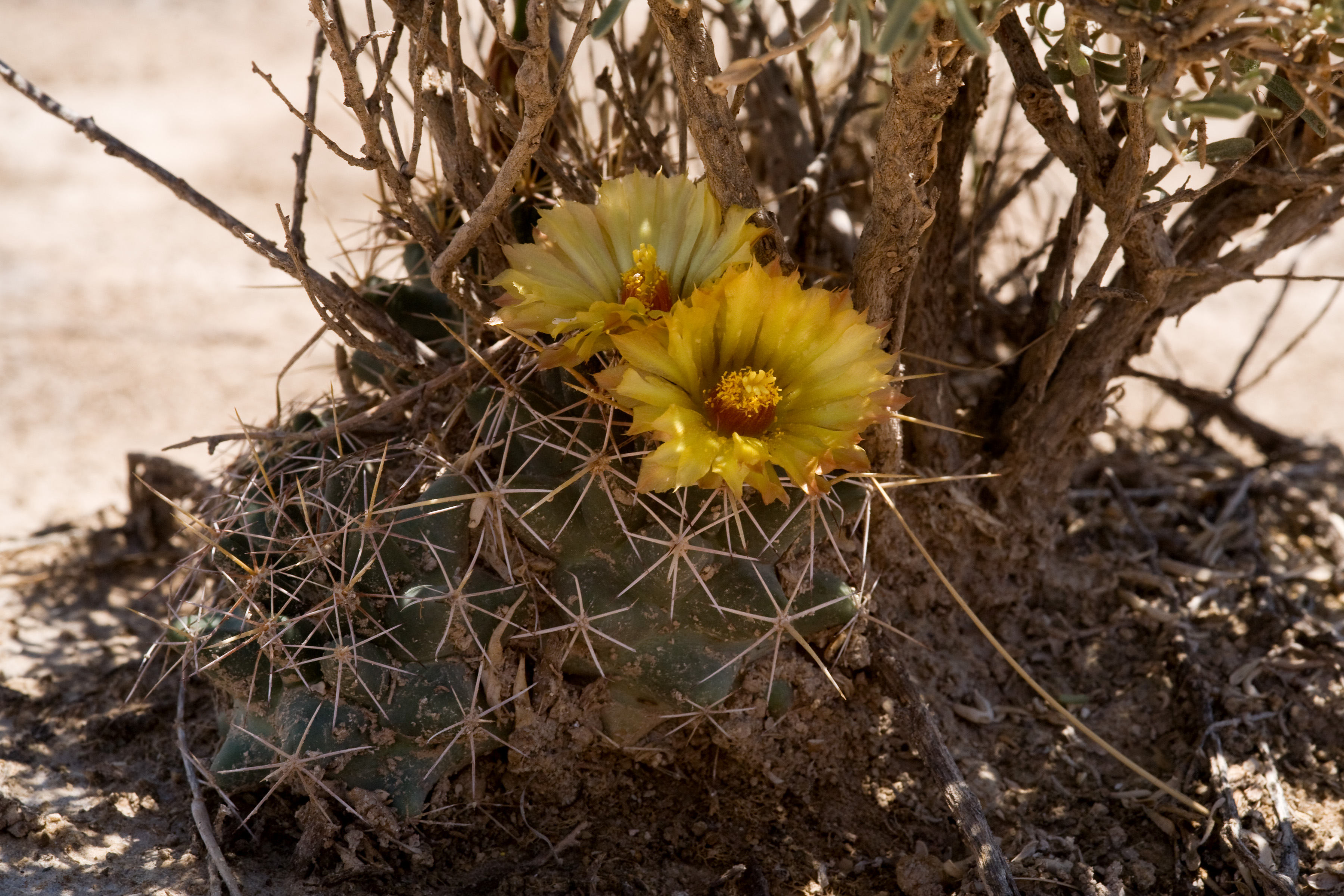
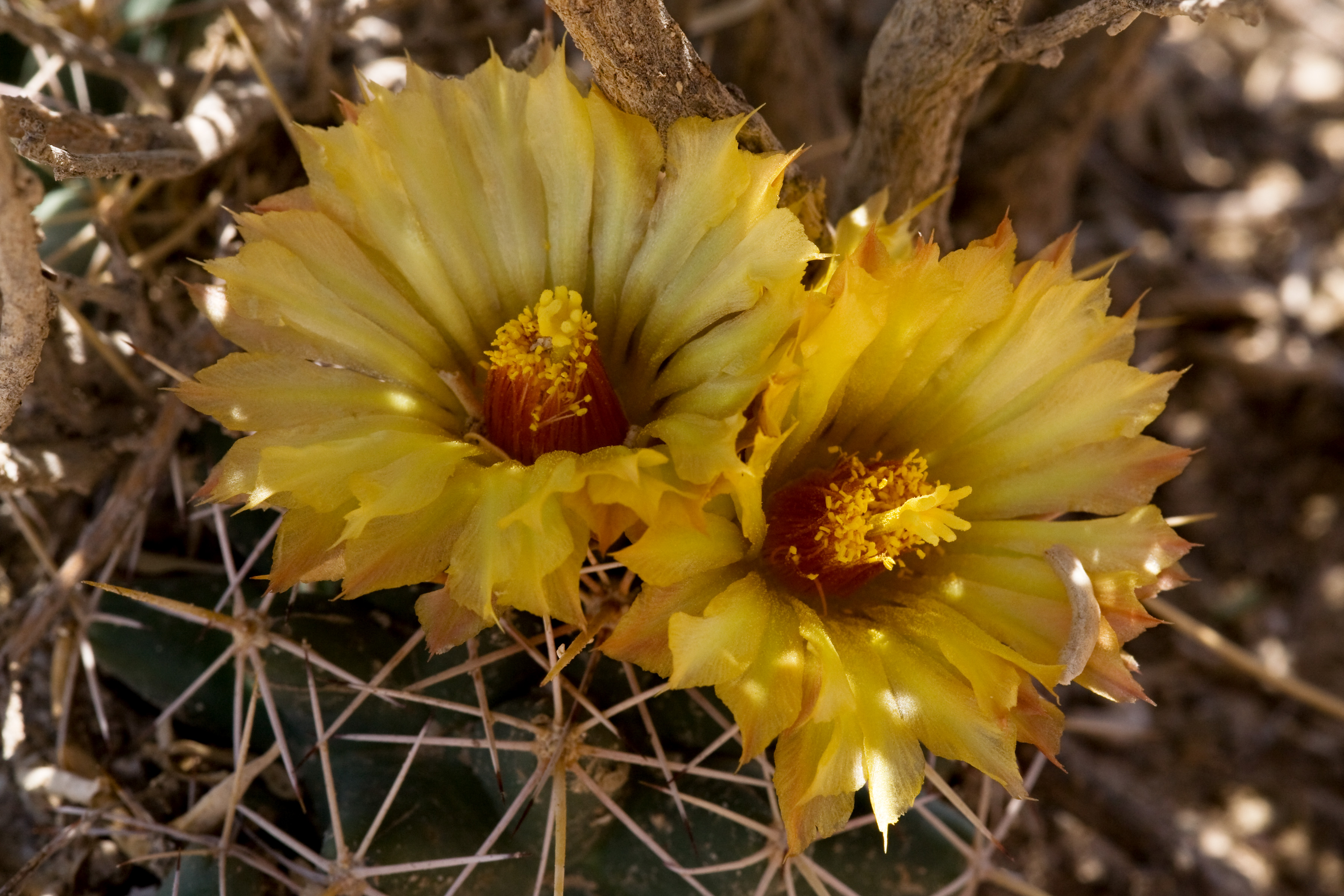
Another rare plant in the area, although not an obligate gypsophile, is Coryphantha robustispina var. scheeri:

Alkali Lakes is also a beautiful place!

CLM: Scurfpeas (10 Oct 2014)

I spent the previous five weeks walking the desert surveying for rare plants. As I’ve mentioned before, I was doing surveys for rare plants on areas where herbicide treatments intended to restore grassland in areas that have been converted to shrubland through grazing as part of the Restore New Mexico program. In my previous posts on the subject, I’ve mostly talked about Peniocereus greggii, partly because that is all I was finding and partly because that is all I expected to find. However, since then we’ve found the other, and much more exciting, of our target species: Pediomelum pentaphyllum, a.k.a. Chihuahuan scurfpea, a.k.a. (for those who like USDA codes) PEPE27!

Pediomelum pentaphyllum is quite rare. As of 2008, there were a grand total of two known populations, one near the small community of Sunizona in southeastern Arizona and one in Hachita Valley in southwestern New Mexico. In 2010, a third population was found, southeast of Safford in southeastern Arizona. These three populations gave us a total of around 2,000 known individuals. There are also historical records from additional sites in southeastern Arizona, northern Chihuahua, and, maybe, western Texas. However, searches to rediscover these additional populations have failed, and none of them have been seen in the last 50 years. Maybe they’re still out there, who knows?

That western Texas record is a story in itself. A specimen was collected during the United States and Mexican Boundary Survey in 1853, but the locality is very uncertain. The specimen’s label says it was collected “chiefly in the Valley of the Rio Grande, below Doñana”. A note anonymously handwritten in pencil says “Fields nr the Presidio del Norte, August, Presidio Co., Texas”. This presents multiple problems: Doña Ana (in southern New Mexico) and Presidio del Norte (now called Ojinaga) are 240 miles apart; Ojinaga is in Chihuahua, Mexico, not Texas (although of course “fields near” Ojinaga might be in Texas); we have no idea where that “Fields nr the Presidio del Norte” locality comes from or on what basis we should take it to be accurate. That last problem turns out to be relatively easily solved. The “Presidio del Norte” locality comes from the Report on the United States and Mexican Boundary Survey. We’re still left with the first two problems and no good way to resolve them. I’ve encountered this kind of confusion before; specimens from the boundary survey have one locality on the specimen label and a different locality in the report and you don’t know which one (if any) is correct. So far as I can tell, locality information on boundary survey specimens just isn’t particularly reliable. So, we don’t know if that specimen came from New Mexico, Texas, or Chihuahua and it is our only basis for believing Pediomelum pentaphyllum has ever been seen in Texas. Ugh. By the way, you can see this specimen for yourself:

It’s amazing how easily things like this can be tracked down these days. The report is online, a photograph of the specimen is online, it’s all right there! I’m still left with an irritating uncertainty, but at least it didn’t take me weeks of waiting for letters back and forth and schlepping things from the library.

OK, back to Pediomelum pentaphyllum. It’s rare, and most of the surveys for it have come up empty-handed. I did a couple of weeks of surveying back in 2010, for instance, during which I did not see a single individual except for a few at the Hachita Valley population to familiarize myself with the species at a known population. More extensive surveys for the Restore New Mexico program in 2012 had the same result. For this year’s surveys, I basically expected that we’d get to wander around in the desert for a few weeks, see some wonderful places, put a couple hundred miles on our shoes, and not see any Pediomelum pentaphyllum. So it took a while for me to believe what I was seeing when I stumbled across the first one:

And another:

And another:

By the end of the day, the crew and I had found 29 of them. By the end of the survey, we had found about 270 across an area about 8 miles long and 2 miles wide northwest of Lordsburg on Lordsburg Mesa. Now we have four known, extant populations of Pediomelum pentaphyllum. This should also help us determine what habitat it likes. Our new population was in looser, dunier sand than the previously known populations, in Prosopis glandulosa / Atriplex canescens / Artemisia filifolia shrubland with a number of sand specialist plants that are uncommon in the area, including Amaranthus acanthochiton, Heliotropium convolvulaceum, Chamaesyce parryi, and Dalea lanata var. terminalis. Conveniently his habitat is fairly easy to spot on aerial imagery, so I’ve put together a list of similar areas to check. Maybe we can find a fifth population!

Some of the Pediomelum pentaphyllum was in flower, too, allowing me finally to get a good series of photographs of it:

Other notable events in the field surveys:

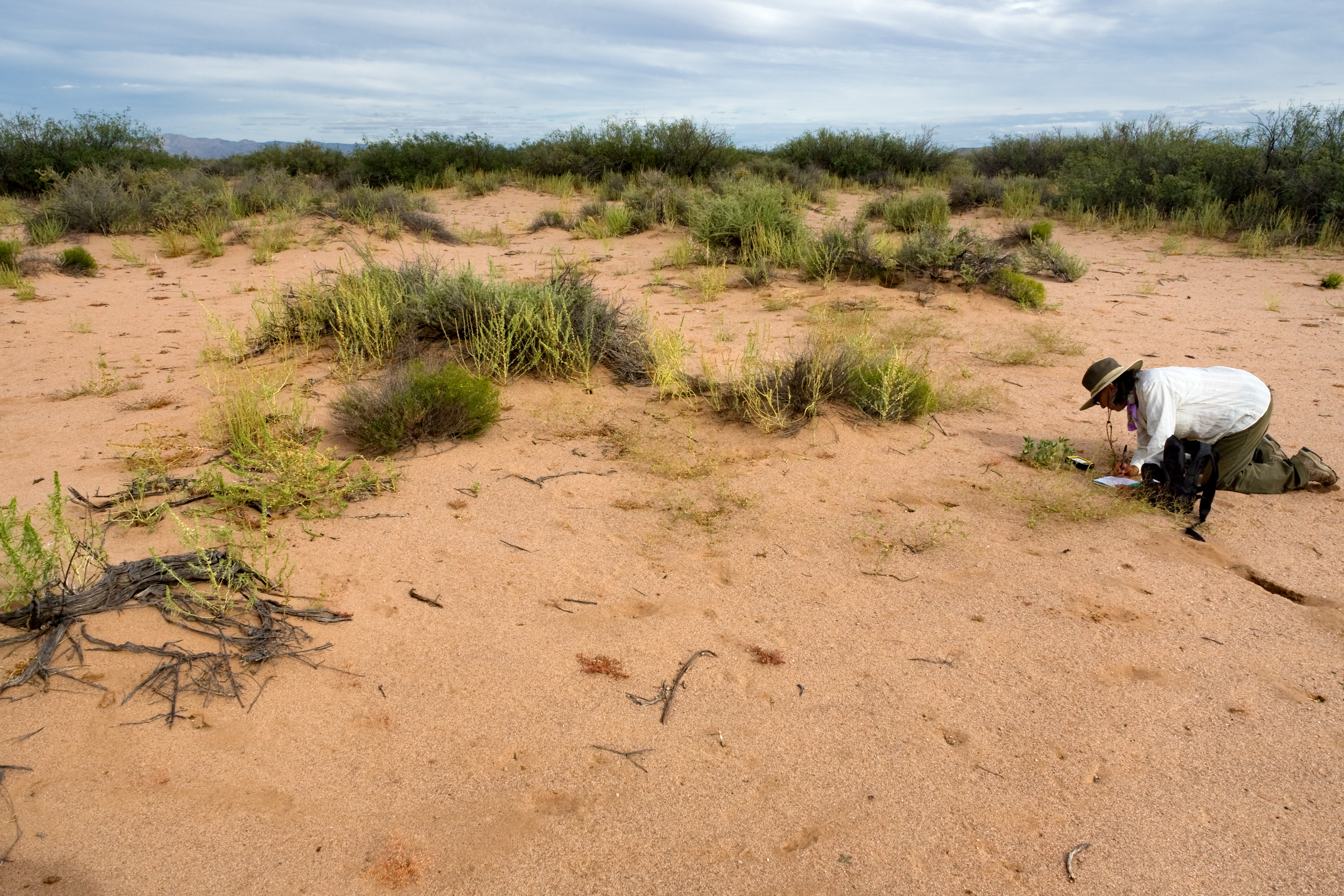
First, I had the best field crew ever. Seriously, these folks were awesome. Here’s one of them (Jeanne Tenorio) taking notes Pediomelum pentaphyllum:

Second, we found a lot more Peniocereus greggii as well. I’ll spare you all the photos of them… at least for now.

Third, we found a bunch of other uncommon species, including four that are new records for Luna County, New Mexico: Simsia lagasceiformis, Mortonia scabrella, Ipomoea cardiophylla, and Anoda pentaschista. I also got to photograph a half-dozen species I hadn’t photographed before.

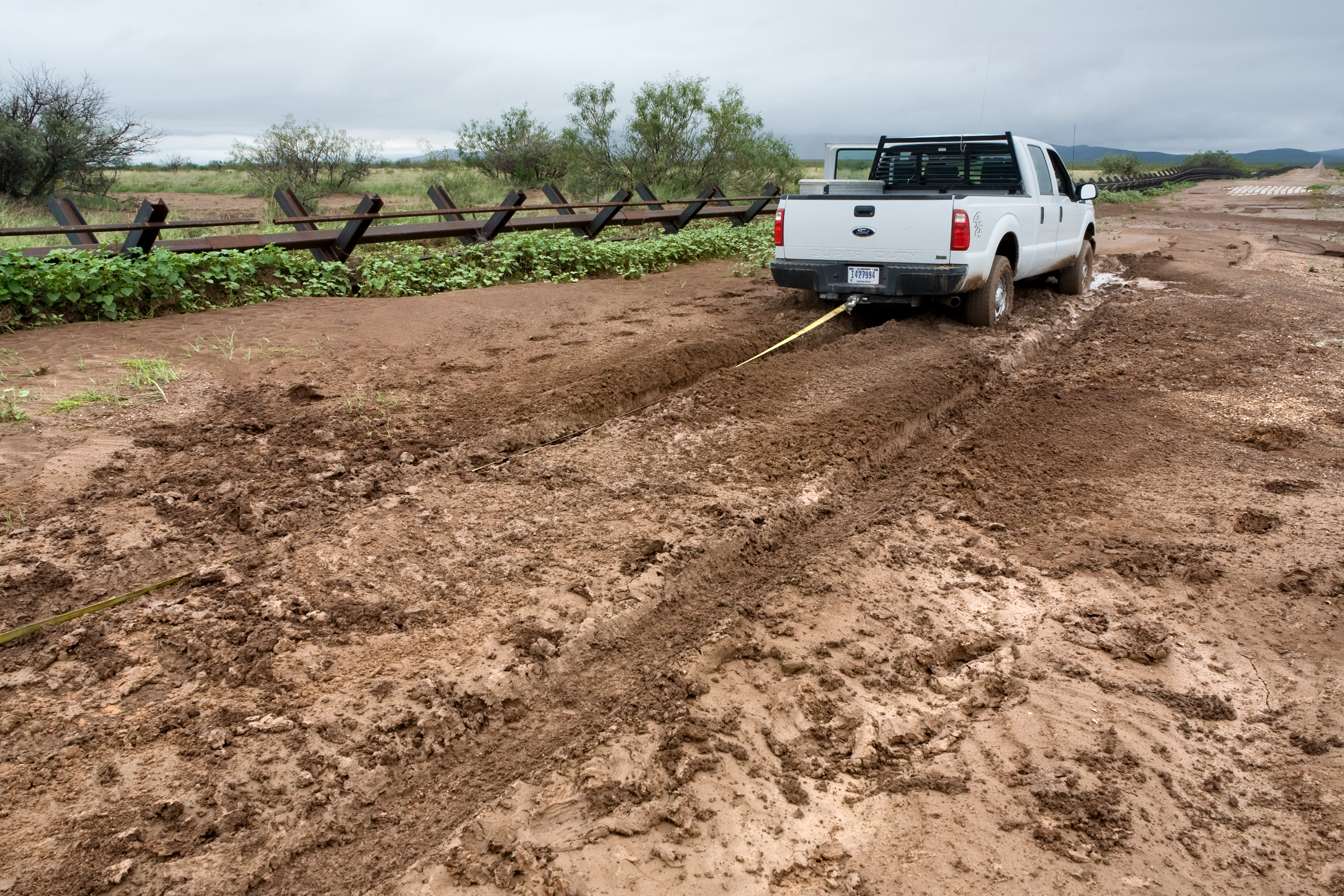
Fourth, we got stuck in the mud a couple more times. I forgot to take a picture of the first one, but here’s the second:

That’s the Mexican border at the left. On the border road, they’ve put in concrete blocks through the muddier parts and I was hoping these would be shallow enough that we wouldn’t just sink into the mud. I was wrong. Luckily, we had two vehicles and the second could quickly pull us out.