AHPS and the HRAP coordinate system…

So, I’ve been trying to stick precipitation data from NOAA’s Advanced Hydrologic Precipitation Service (AHPS) into GIS. You can view this data online and you can download it. So all you’ve got to do is load it into your preferred GIS software (I’m using QGIS 2.4), right?

Nope. The downloadable data is in an oddball format that is not directly usable for much of anything. Instead, you get point shapefiles in a one-off projection, Hydrologic Rainfall Analysis Project (HRAP). These shapefiles consist of a grid of points, each basically representing a pixel, and come with prj files defining a geographic coordinate system. If you load them in QGIS, they look like this:

The prj file looks like this:

GEOGCS["HRAP_Sphere",DATUM["",SPHEROID["",6371200.0,0.0]],
PRIMEM["Greenwich",0.0],UNIT["Degree",0.0174532925199433]]

That’s nice, but you can’t rasterize it very well because the grid is not regular in this projection. It’s tilted and does not have even spacing across its extent. The points can’t be reasonably converted to raster pixels. The coordinate system the shapefile ships with isn’t really good for anything. I tried poking around online to figure out what you’re supposed to do with these AHPS shapefiles and did not come up with anything helpful. So I emailed AHPS to try to figure out what to do. I got a quick and very helpful response–a pdf with instructions for converting these shapefiles into a usable projection using ArcGIS. Although this solved my problem (luckily, I do have access to ArcGIS), it raises several questions: Why aren’t the data downloadable in a format that is directly usable–if not a raster, at least a shapefile in an appropriate projection? Why aren’t instructions on using the downloadable shapefiles readily available to users of this data? The instructions exist, they work, but I don’t know how you get them without emailing AHPS and saying, “Help, what am I supposed to do with this?” What about those who don’t have access to ArcGIS? Most people can’t afford ESRI’s absurdly high prices and don’t work at institutions that can. So far as I can tell, the answer for people in this situation is, at present, “Sorry, you’re SOL.”

So… if you follow the directions I got from AHPS, this is what happens:

1) You delete the prj file that comes with a shapefile, and create a new one that looks like this:

GEOGCS["HRAP_GCS",DATUM["D_HRAP",SPHEROID["HRAP_Sphere",6371200.0,0.0]],
PRIMEM["Greenwich",0.0],UNIT["Degree",0.0174532925199433]]

In proj4 format (which is accepted by QGIS for the creation of a custom CRS), the coordinate system looks like this:

+proj=longlat +a=6371200 +b=6371200 +no_defs

2) You create a custom CRS and transform the shapefile into that CRS, which results in a prj file that looks like this:

PROJCS["HRAP_Projected",GEOGCS["HRAP_GCS",DATUM["D_HRAP",SPHEROID
["HRAP_Sphere",6371200.0,0.0]],PRIMEM["Greenwich",0.0],UNIT
["Degree",0.0174532925199433]],PROJECTION["Stereographic_North_Pole"],
PARAMETER["False_Easting",0.0],PARAMETER["False_Northing",0.0],
PARAMETER["Central_Meridian",-105.0],PARAMETER["Standard_Parallel_1",
60.0],UNIT["HRAP_Grid",4762.5]]

Or, in proj4:

+proj=stere +lat_0=90 +lat_ts=60 +lon_0=-105 +k=1 +x_0=0 +y_0=0 
+a=6371200 +b=6371200 +to_meter=4762.5 +no_defs

Once you’ve done that, you have a nice regular grid that is ready to be rasterized. In QGIS, it looks like this:

Then you can just go to Raster –> Conversion –> Rasterize, set “Attribute field” to “Globvalue”, “Raster resolution in map units per pixel” to “1” for both horizontal and vertical, and Bob’s your uncle. You get something like this:

And then you can play with the style, get it pretty, and you have a usable precipitation layer. Wonderful! However: The folks at AHPS know how to do this. The rest of us don’t. The information needed is not readily available and the process somewhat convoluted. Why isn’t that information readily available and, more to the point, why aren’t the data provided in a form that doesn’t require a bunch of hassle? We’re all paying for the creation of this data. Why don’t we get a usable product? If they know how to generate such a product, why don’t they just… do it? Give us a raster that is already in a well-defined and documented coordinate system with a prj file that works. Really, it should also come with nice, readily-interpretable styling, so that I don’t need to create that as well. Let me just load it and use it. Compared to the effort and expense involved in generating this data, providing it in a simple plug-and-play format is utterly trivial. So, AHPS, just do it. You know how, you can do it in your sleep. Don’t give the rest of us a bunch of pointless hoops to jump through. Just give us a product we can use.

CLM internship 3: night-blooming cereus

Greetings,

The last couple of weeks, I have been supervising surveys for Pediomelum pentaphyllum and Peniocereus greggii var. greggii. In southern New Mexico, grassland was once extensive and dominated primarily by Bouteloua eriopoda, but overgrazing (especially in the 1890s) and perhaps other factors (climate change is a possible contributing factor) have resulted in most of our low-elevation grasslands being replaced by shrublands dominated by Larrea tridentata and Prosopis glandulosa. In an effort to reverse this trend, the BLM and others have been conducting herbicide treatments, primarily with pelleted tebuthiuron. Unfortunately, tebuthiuron is a fairly broad-spectrum herbicide, affecting most eudicots to some extent, and can therefore kill non-target plants… including rare ones! So, in areas where herbicide treatment has been proposed we go out and survey for rare plants to ensure that protected species are not being killed. Interestingly, there seems to be a spike in forb diversity in about the first decade after these herbicide treatments. The vegetation dynamics are not understood very well as yet, though, so when rare plants are involved we try to play it safe and exclude them from herbicide treatments.

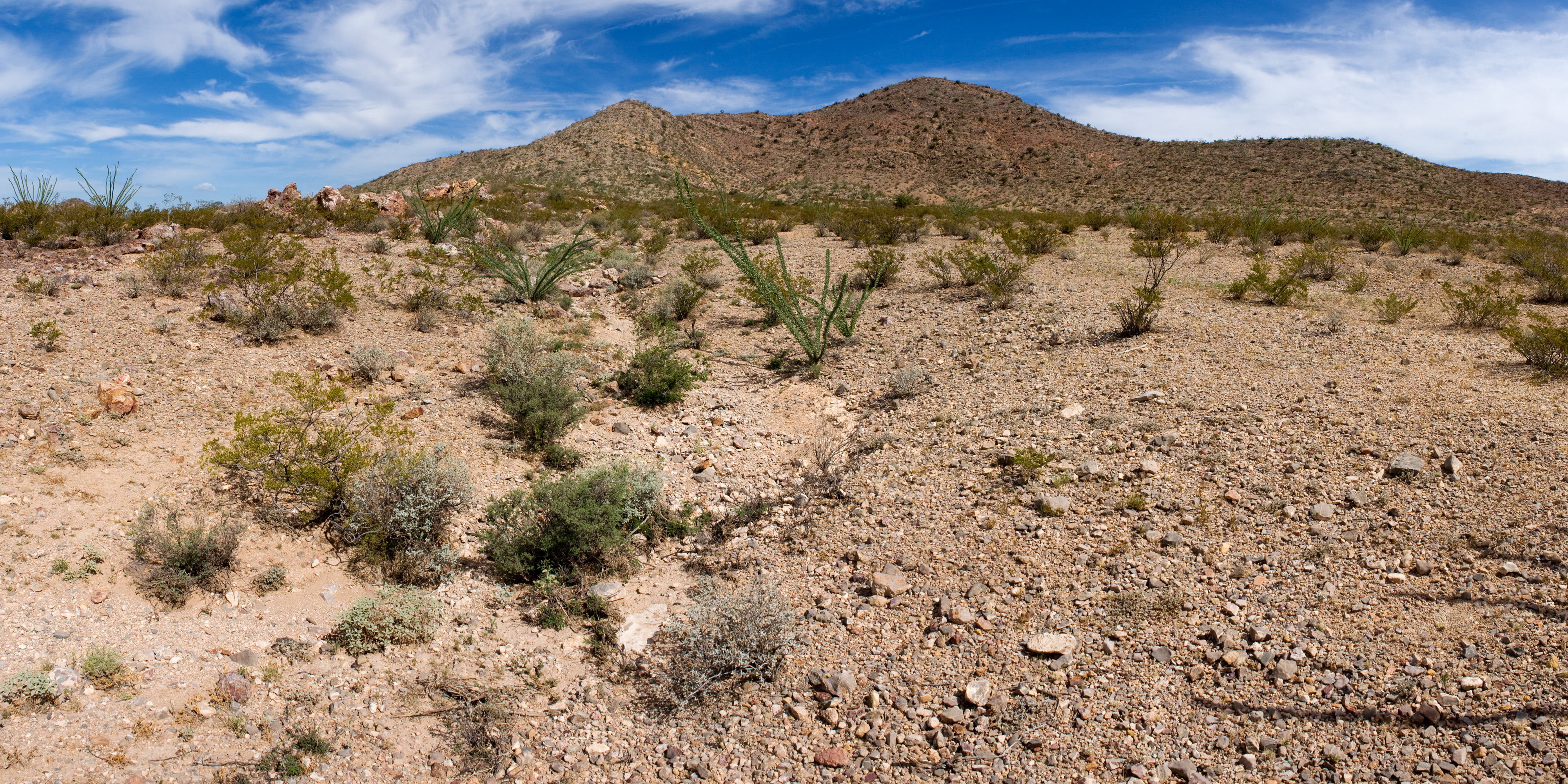
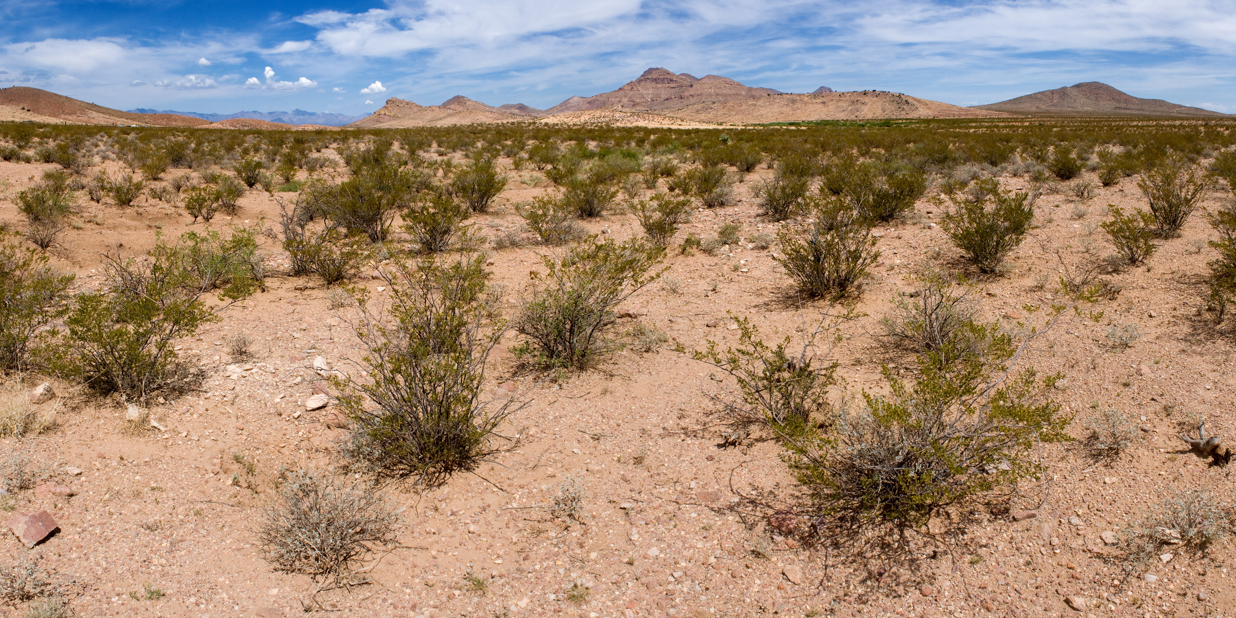
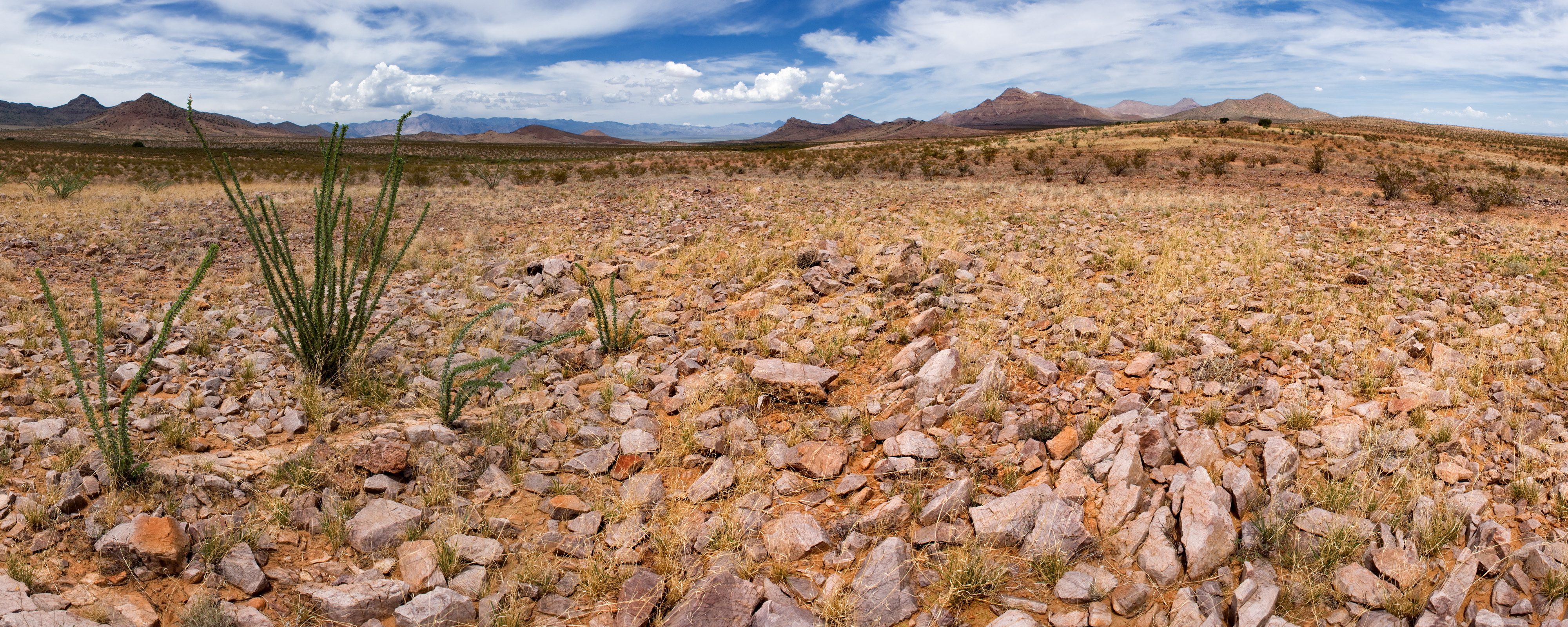
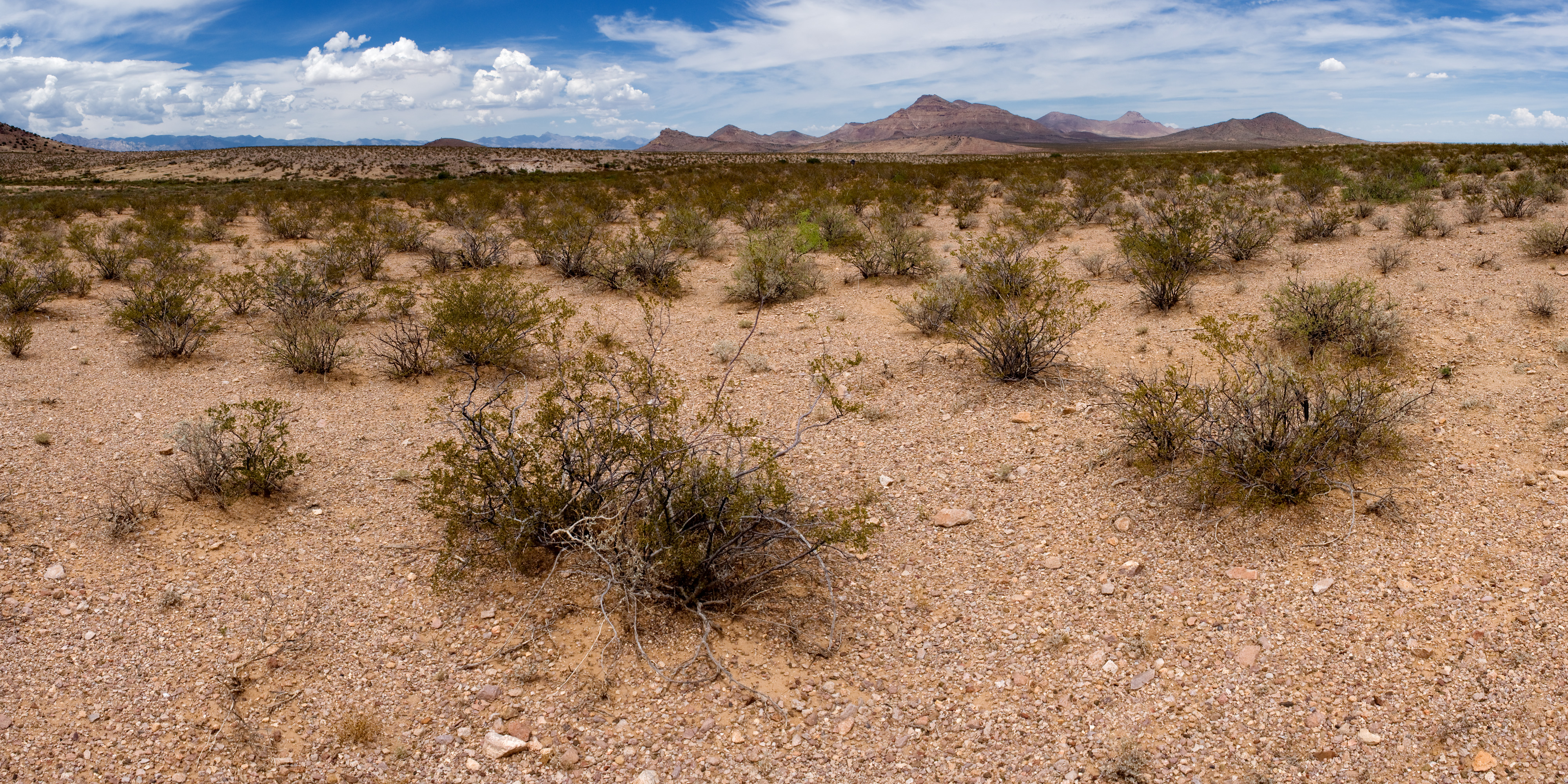
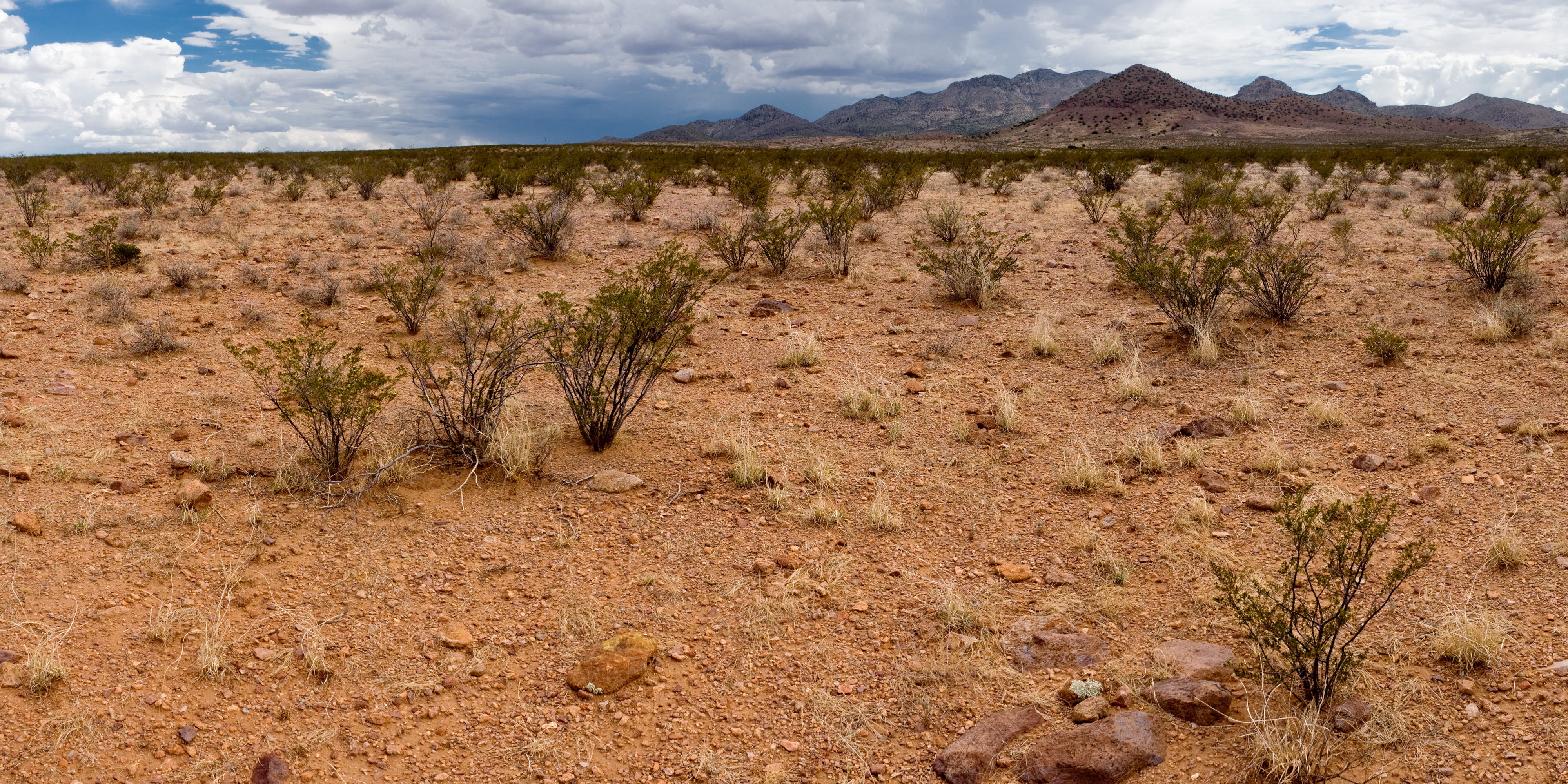
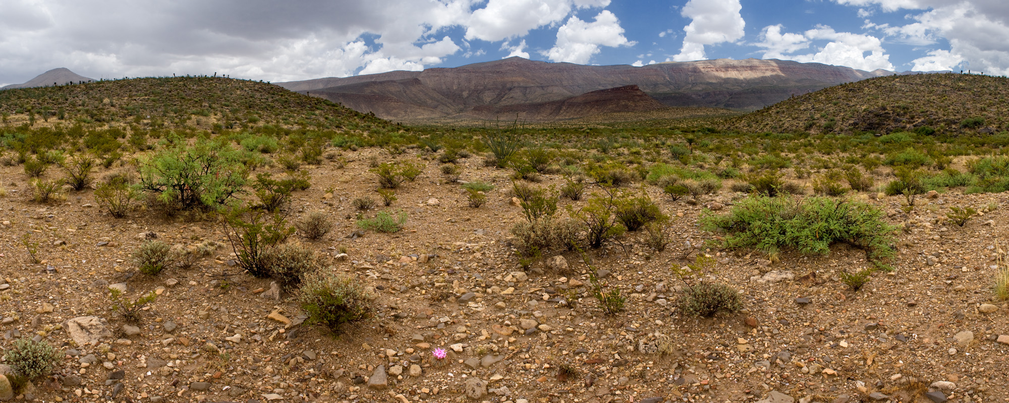
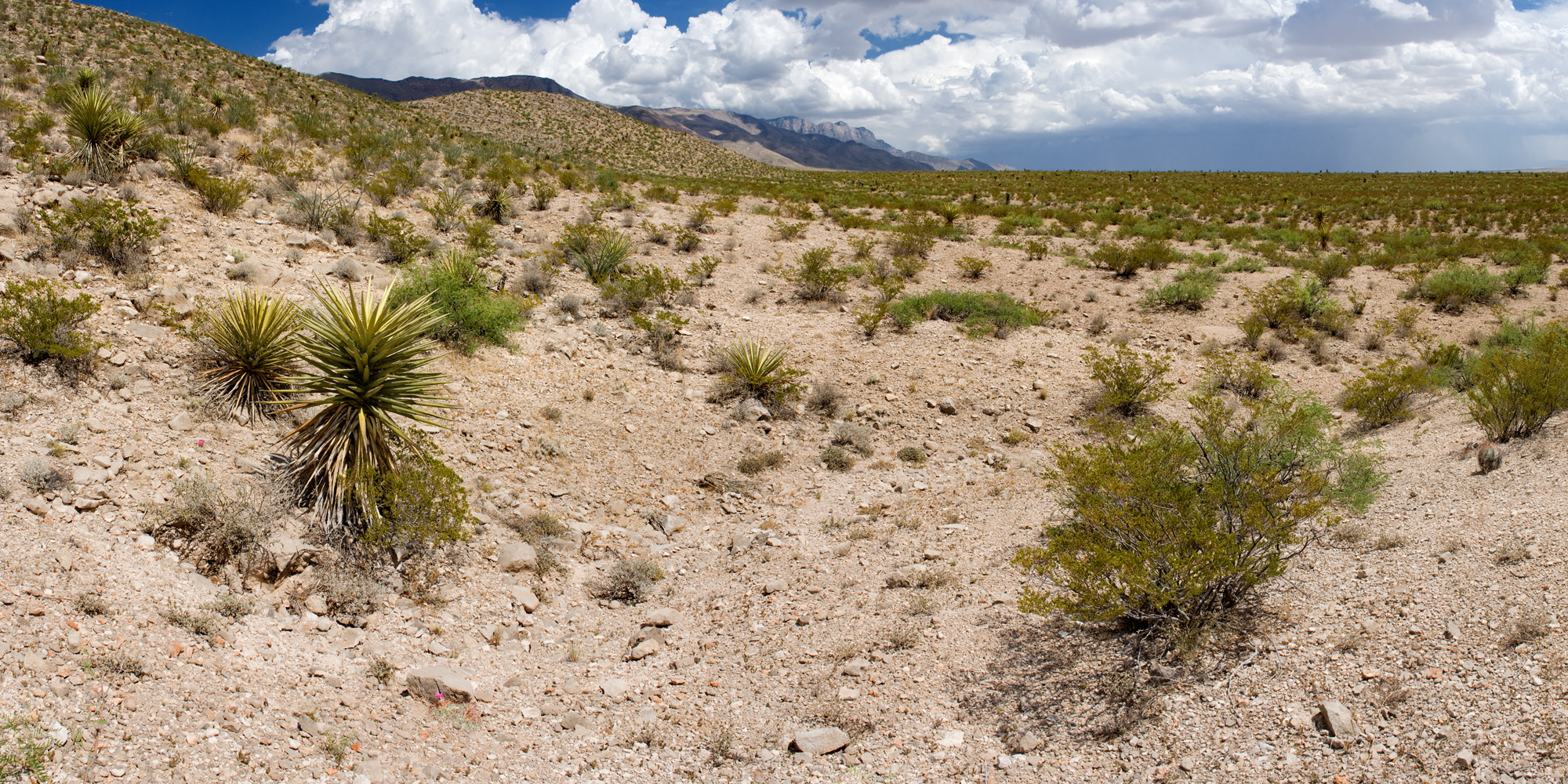
In southwestern New Mexico, the rare species that might be adversely affected are usually Pediomelum pentaphyllum and Peniocereus greggii var. greggii. Most of the treatments that have been proposed for later this year and next year might affect Peniocereus greggii var. greggii but are unlikely to include plausible habitat for Pediomelum pentaphyllum, so Peniocereus greggii var. greggii has been our primary focus. We’ve been heading outside and walking lines at 100 meter intervals across these proposed treatments looking for it. We’ve found 16 plants on proposed treatments so far. Apart from helping us design these herbicide treatments to avoid rare plants, this lets us go outside and walk through pretty places! Here’s one of the areas we walked through last week, around Antelope Pass in Hidalgo County, New Mexico:

We have also encountered one of the hazards of botanizing in New Mexico: when the rains are good and plants are happy, the roads are bad. They get washed out. Arroyos that are dry 364 days a year are suddenly flooded. Low-lying areas that are usually hard clay become brown slime. So, this is a “road” (really, it is a road, we drove down it a couple weeks prior with no problem):

And this is a stuck truck, supervised by Michael Kolikant:

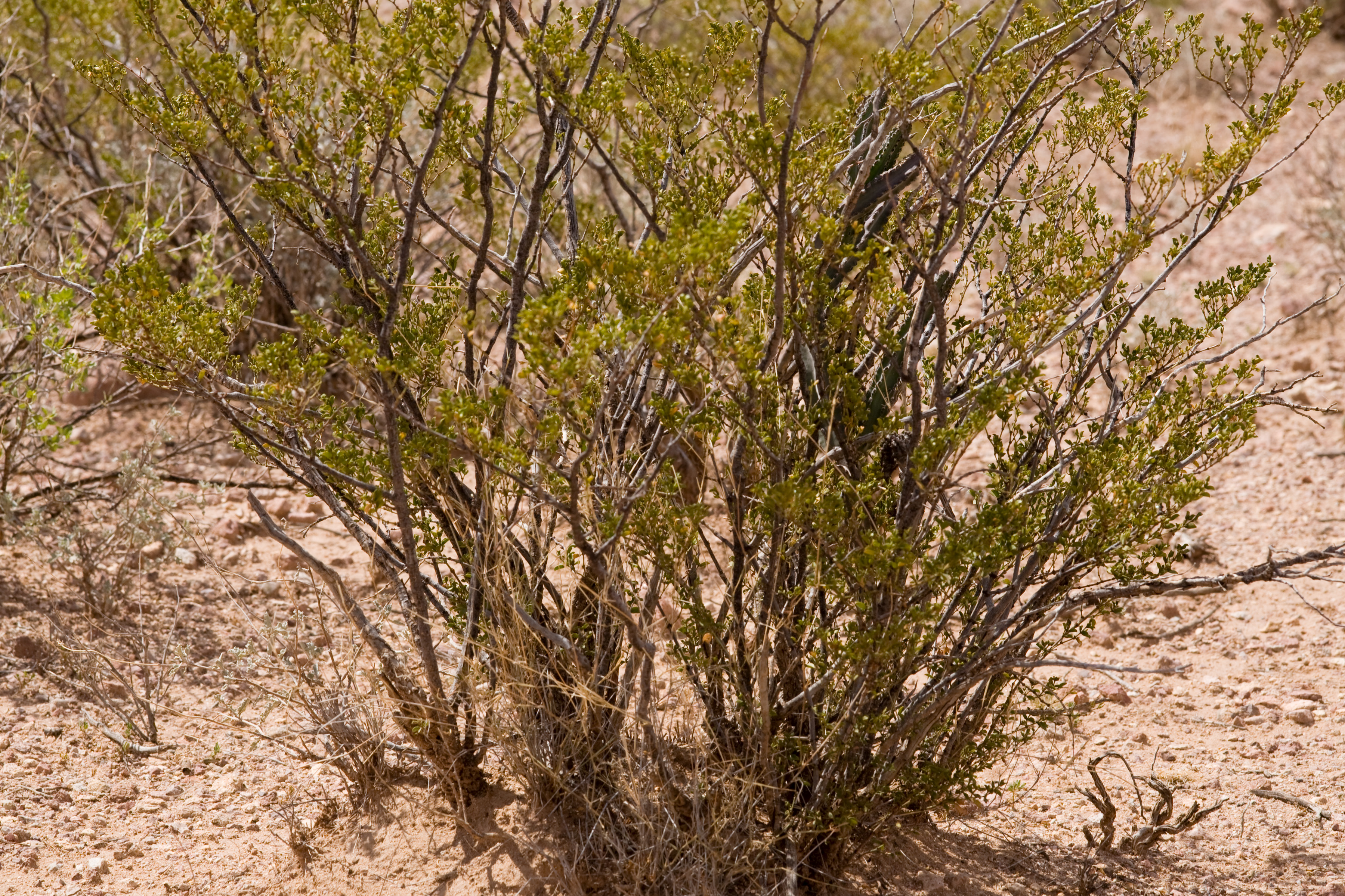
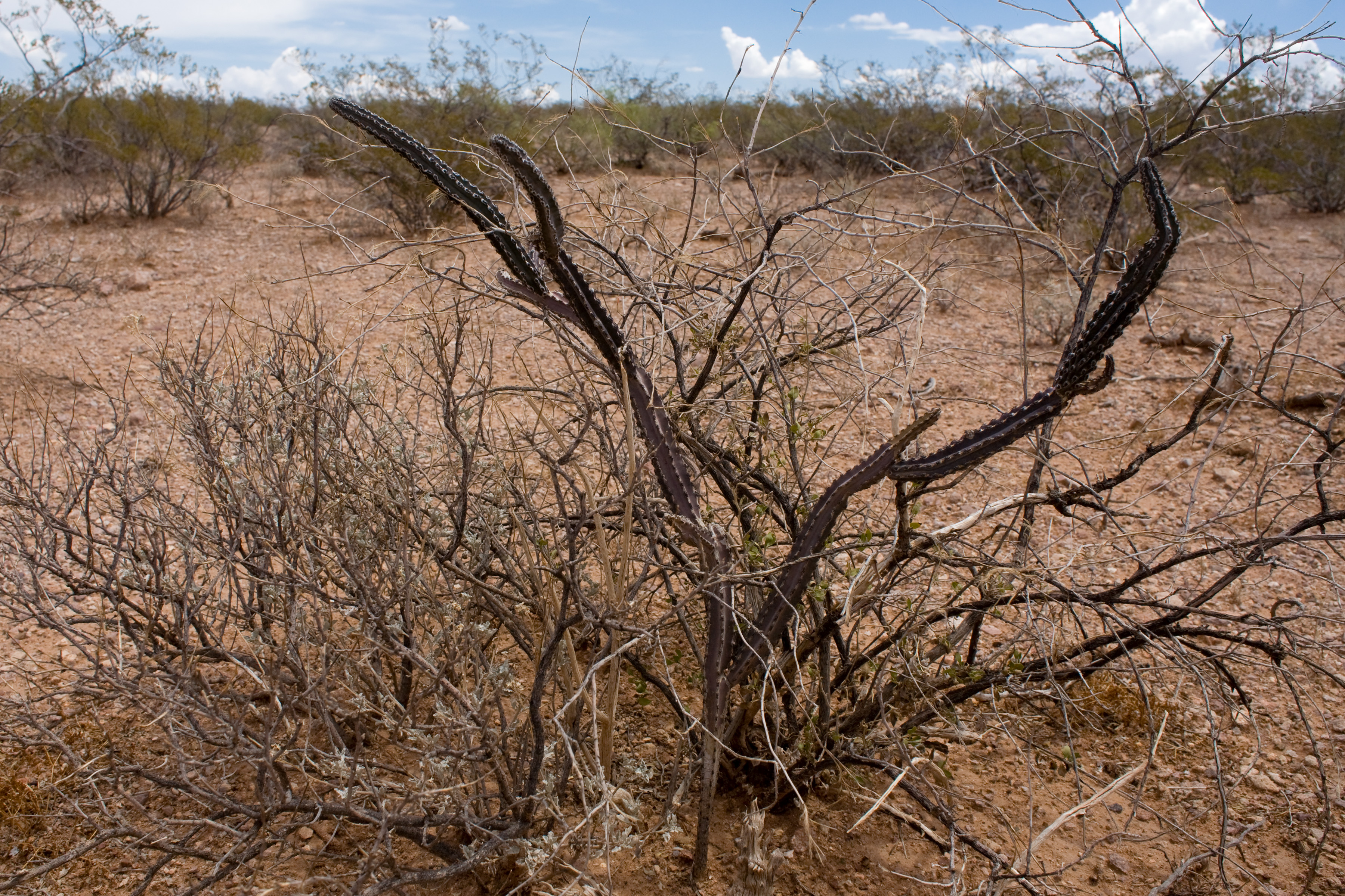
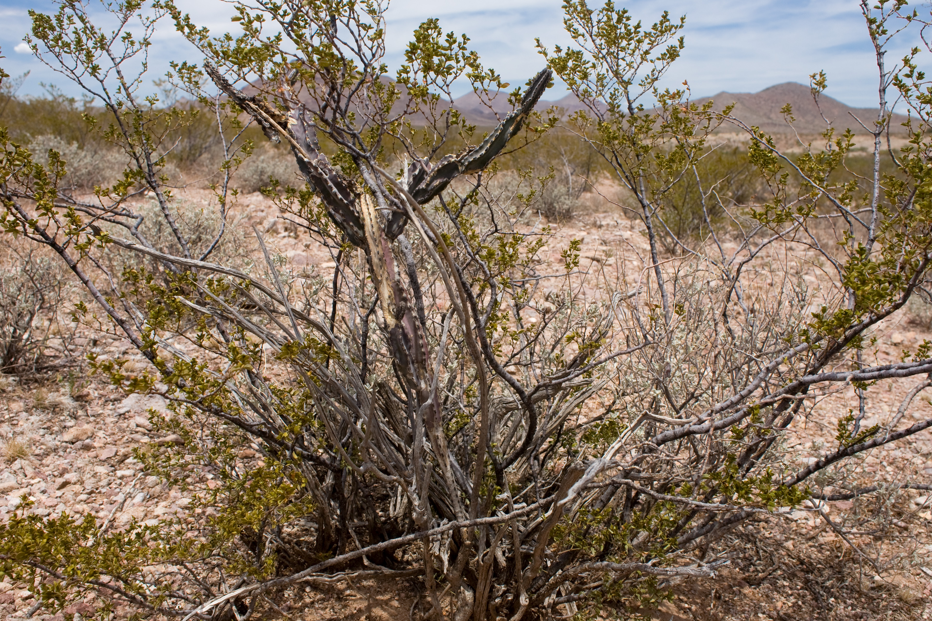
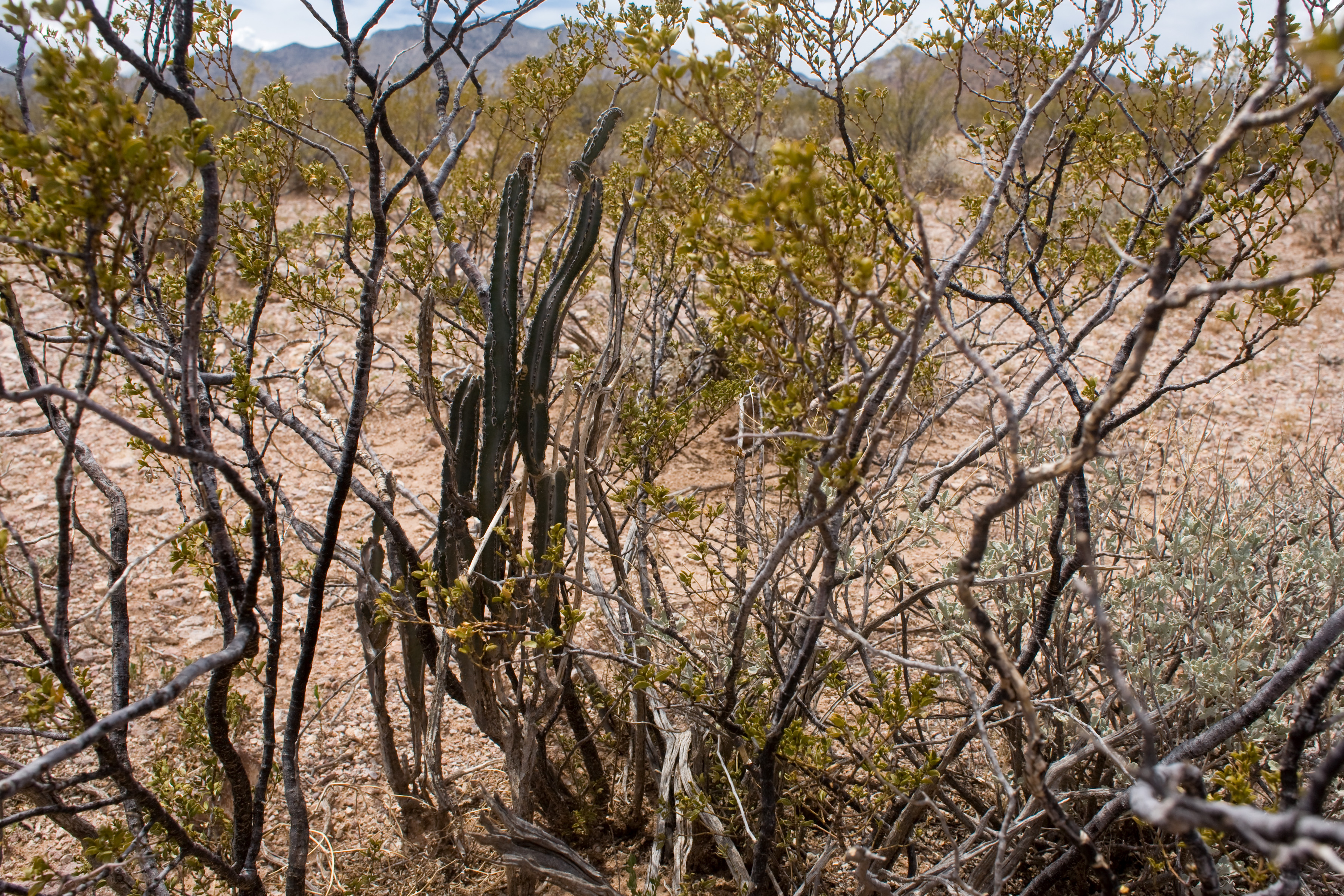
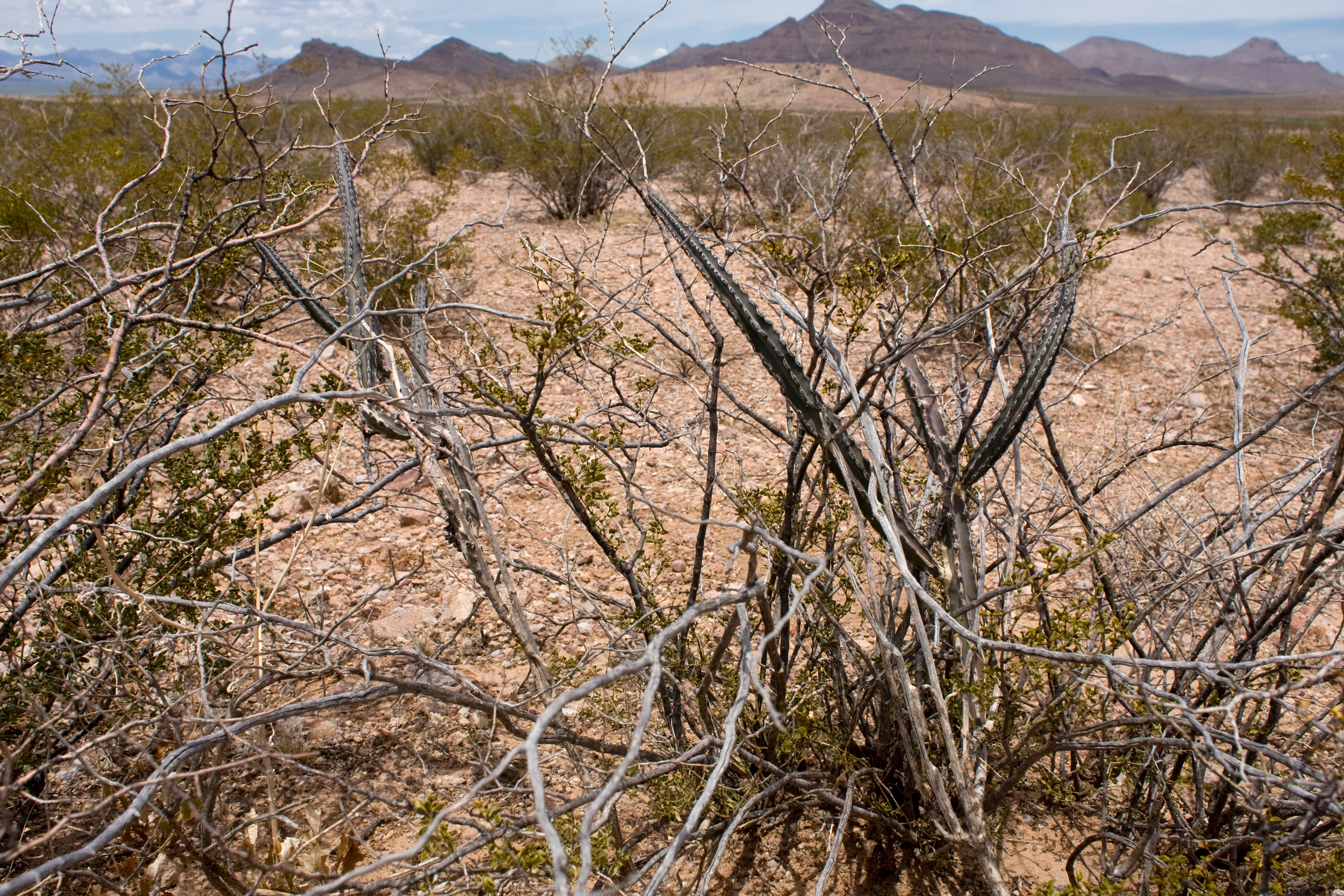
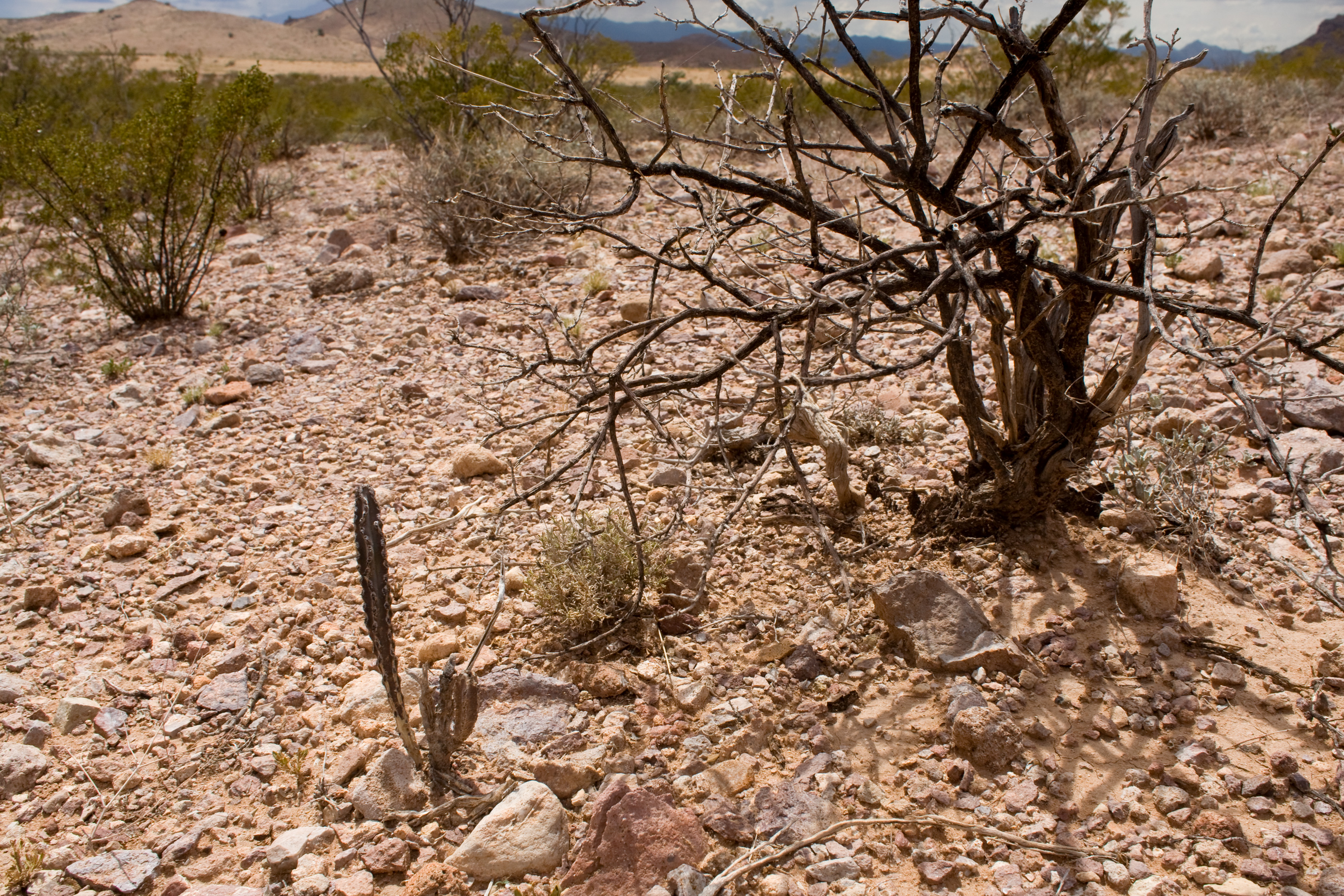
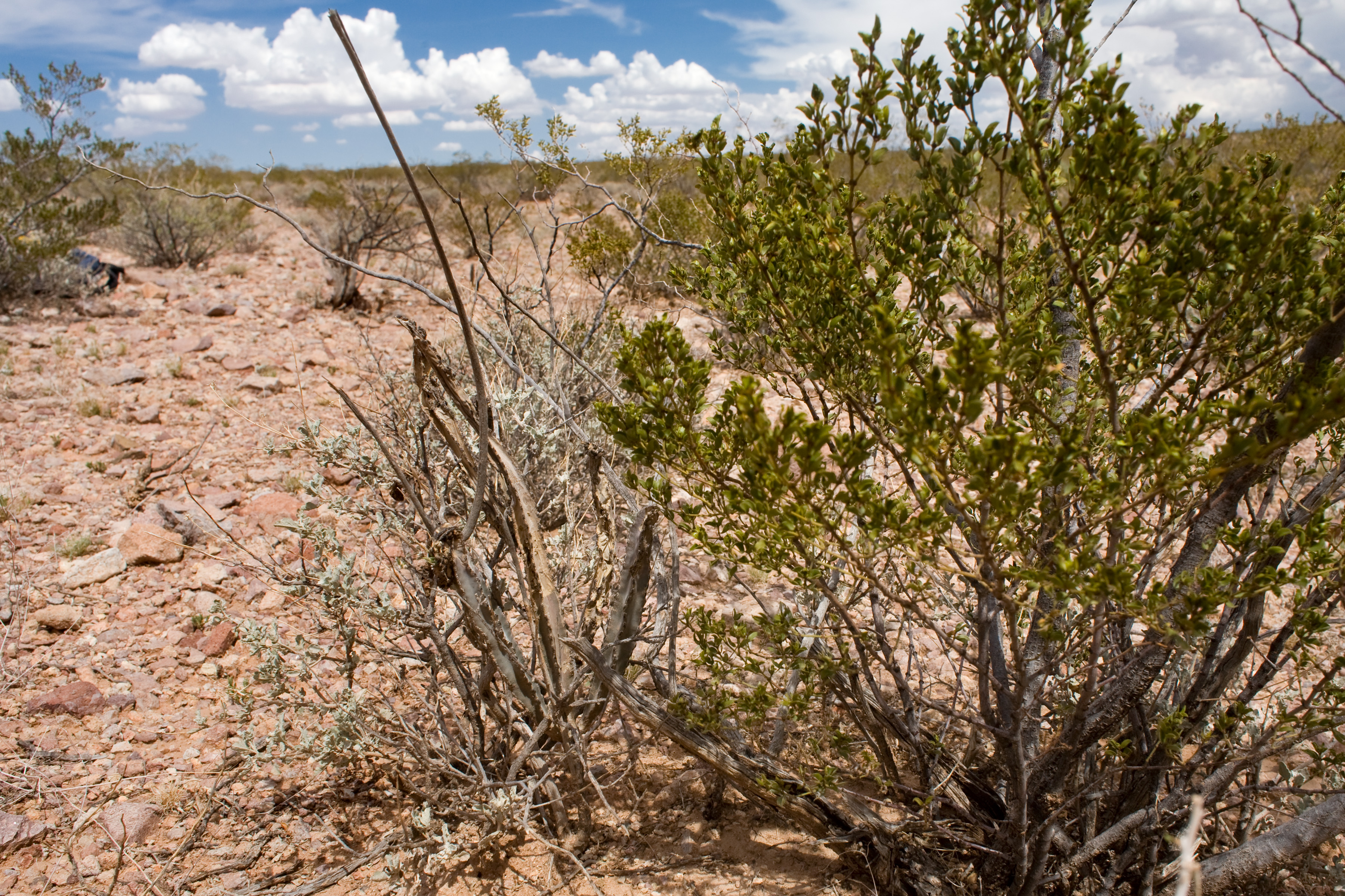
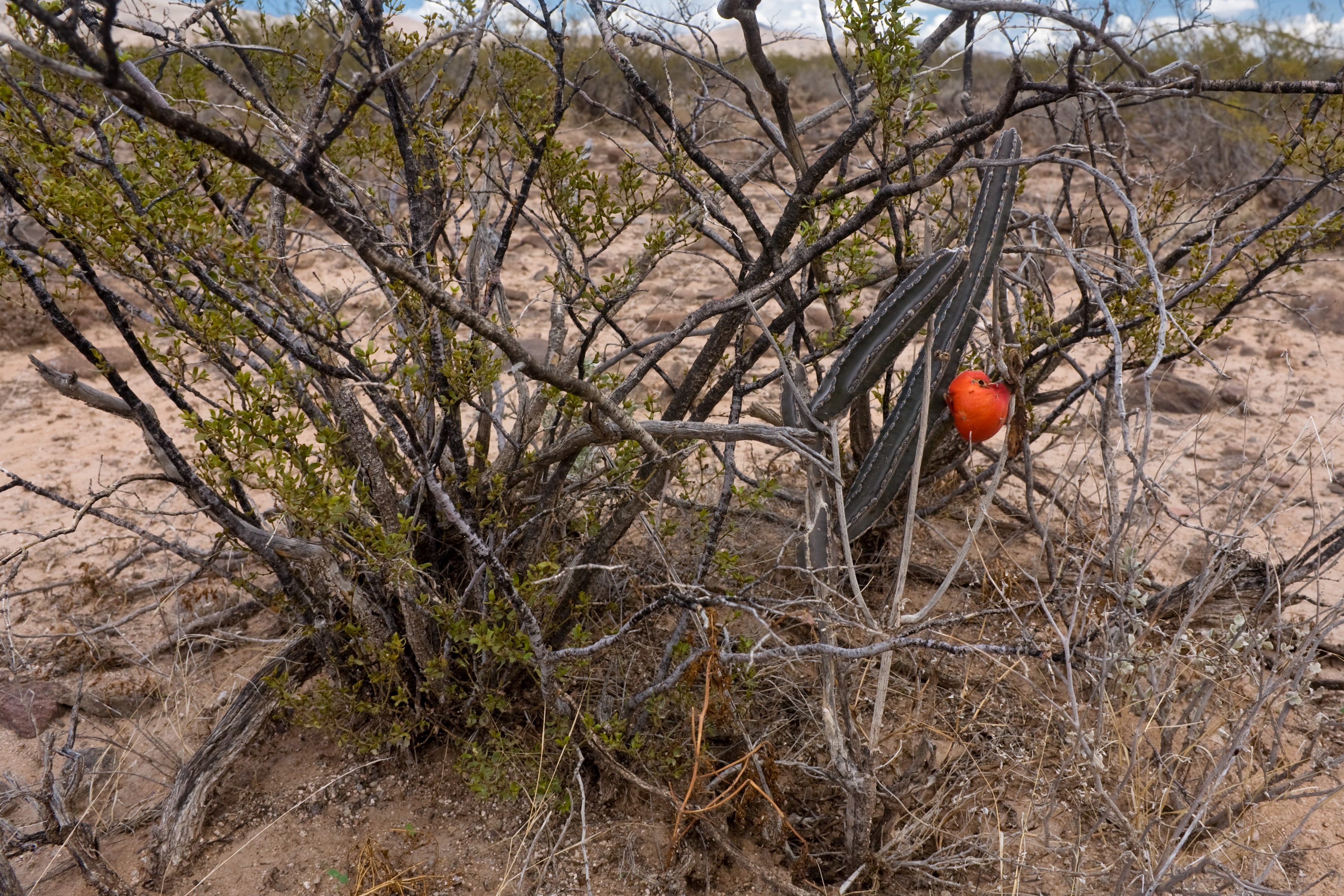
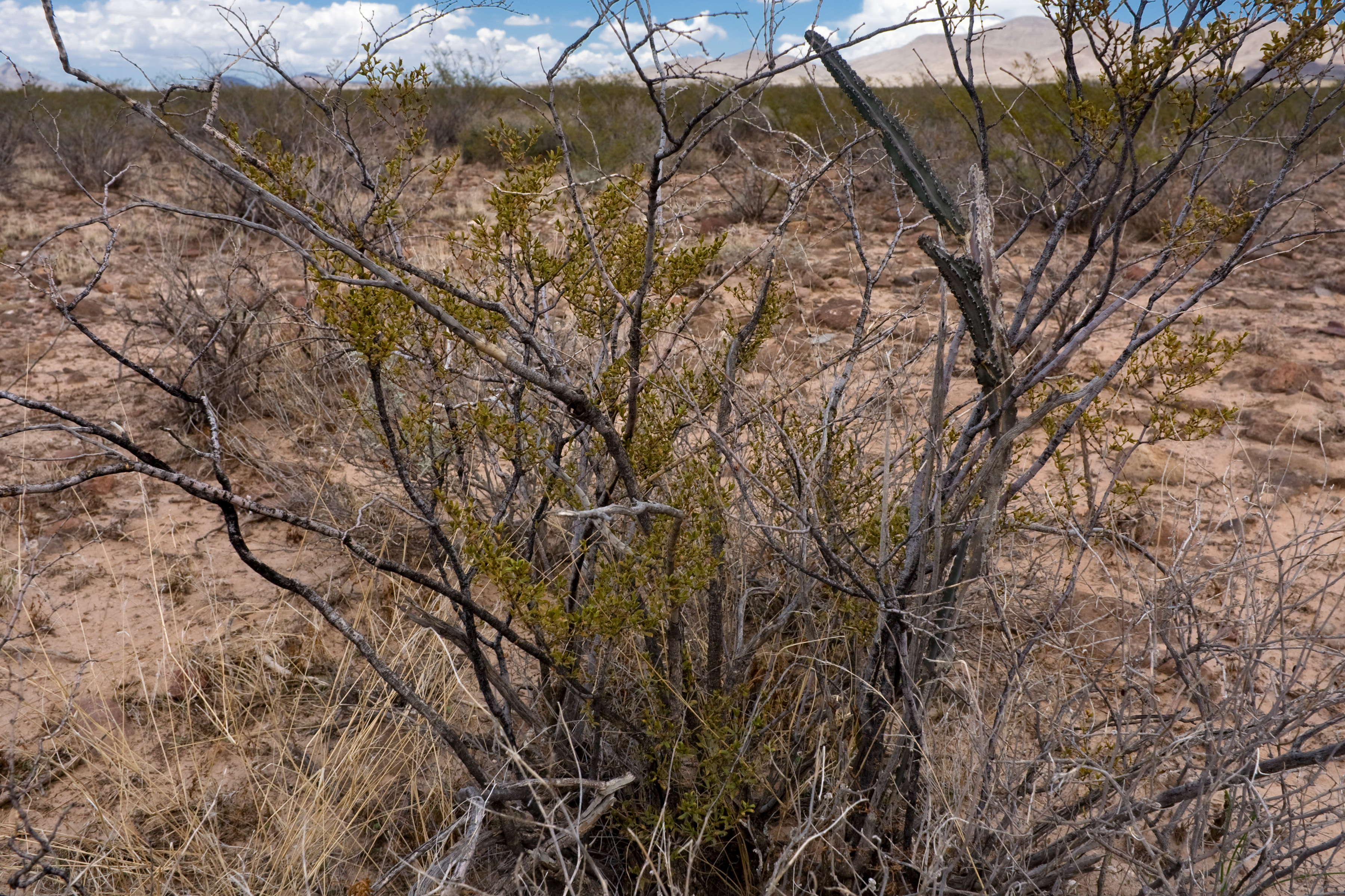
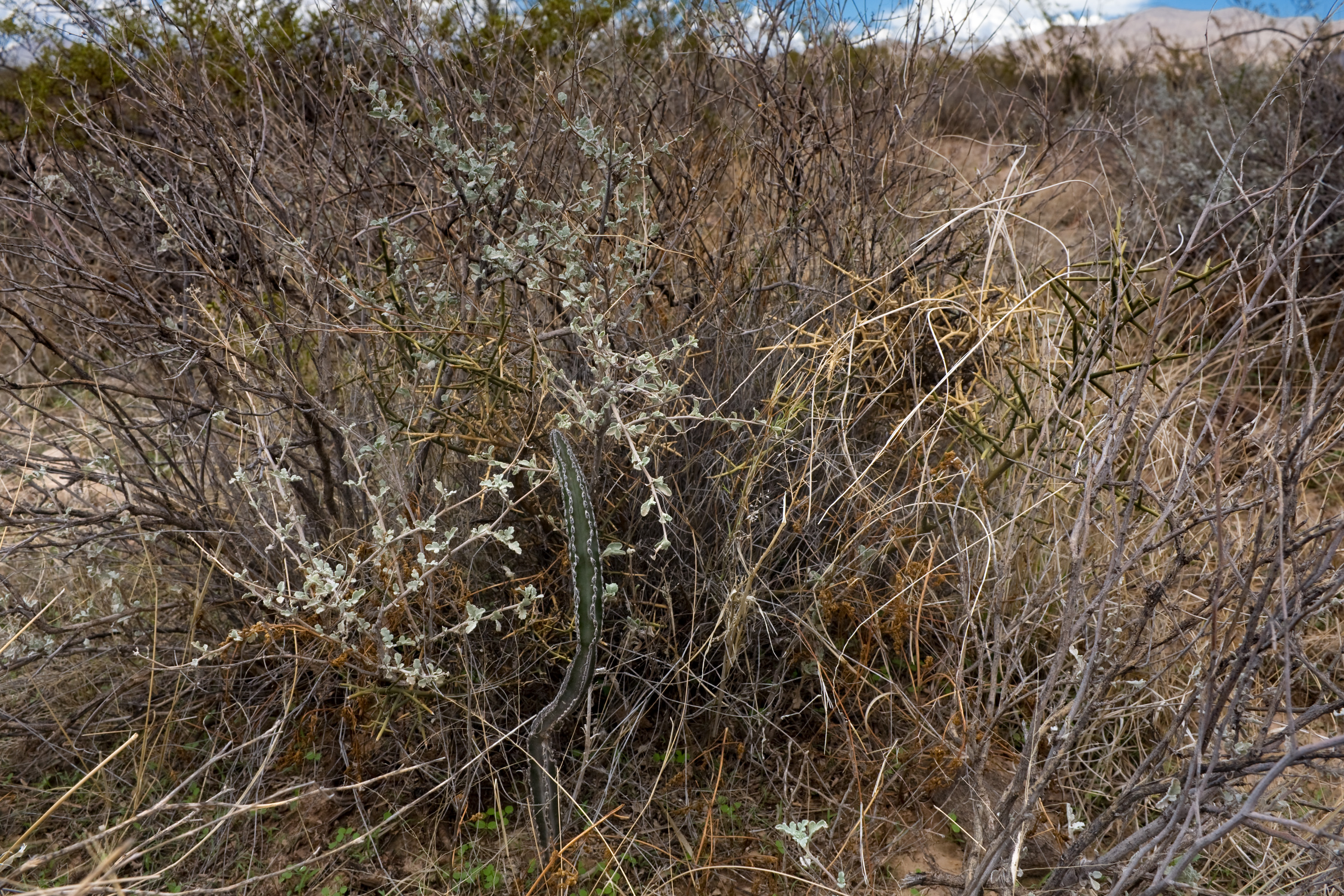
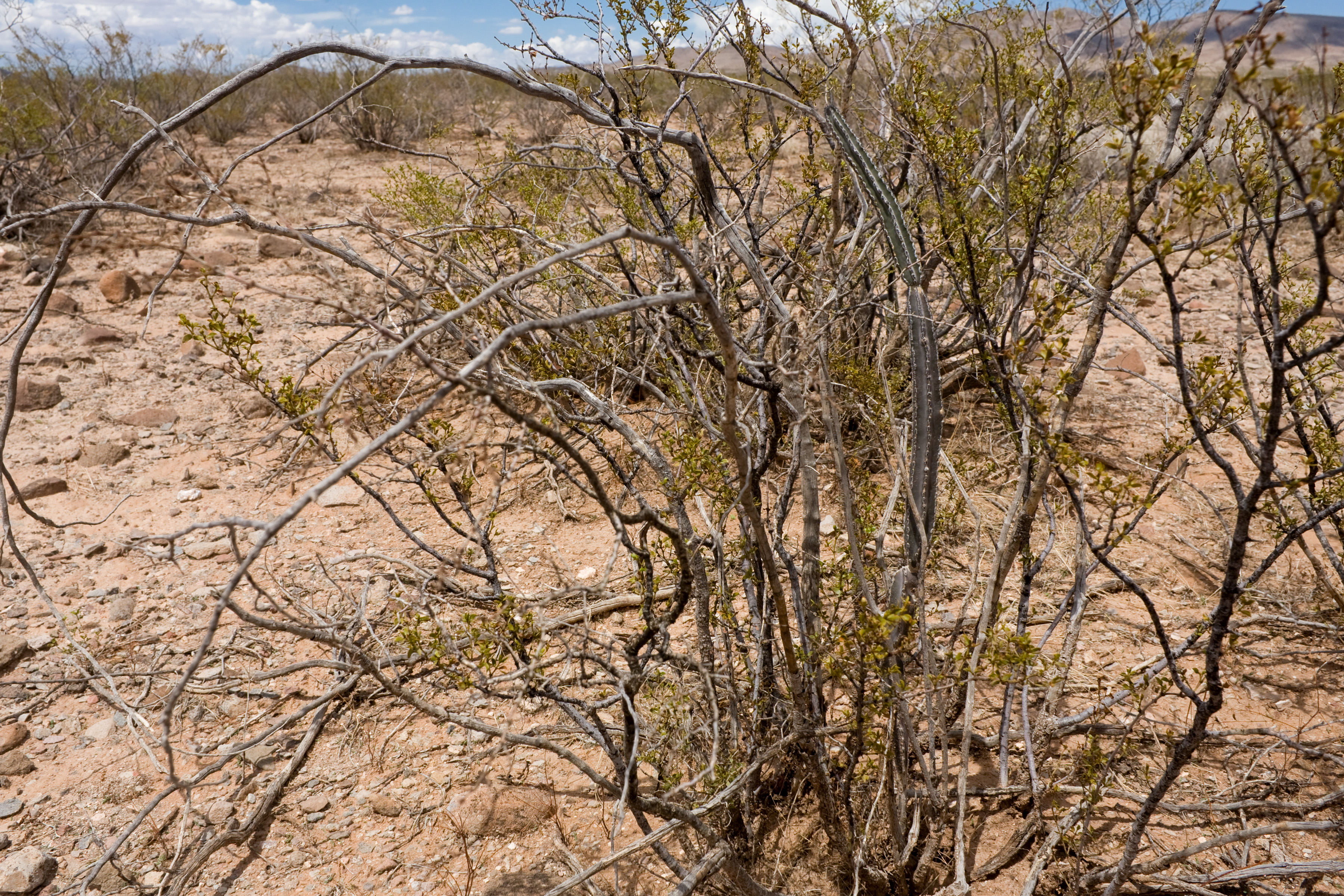
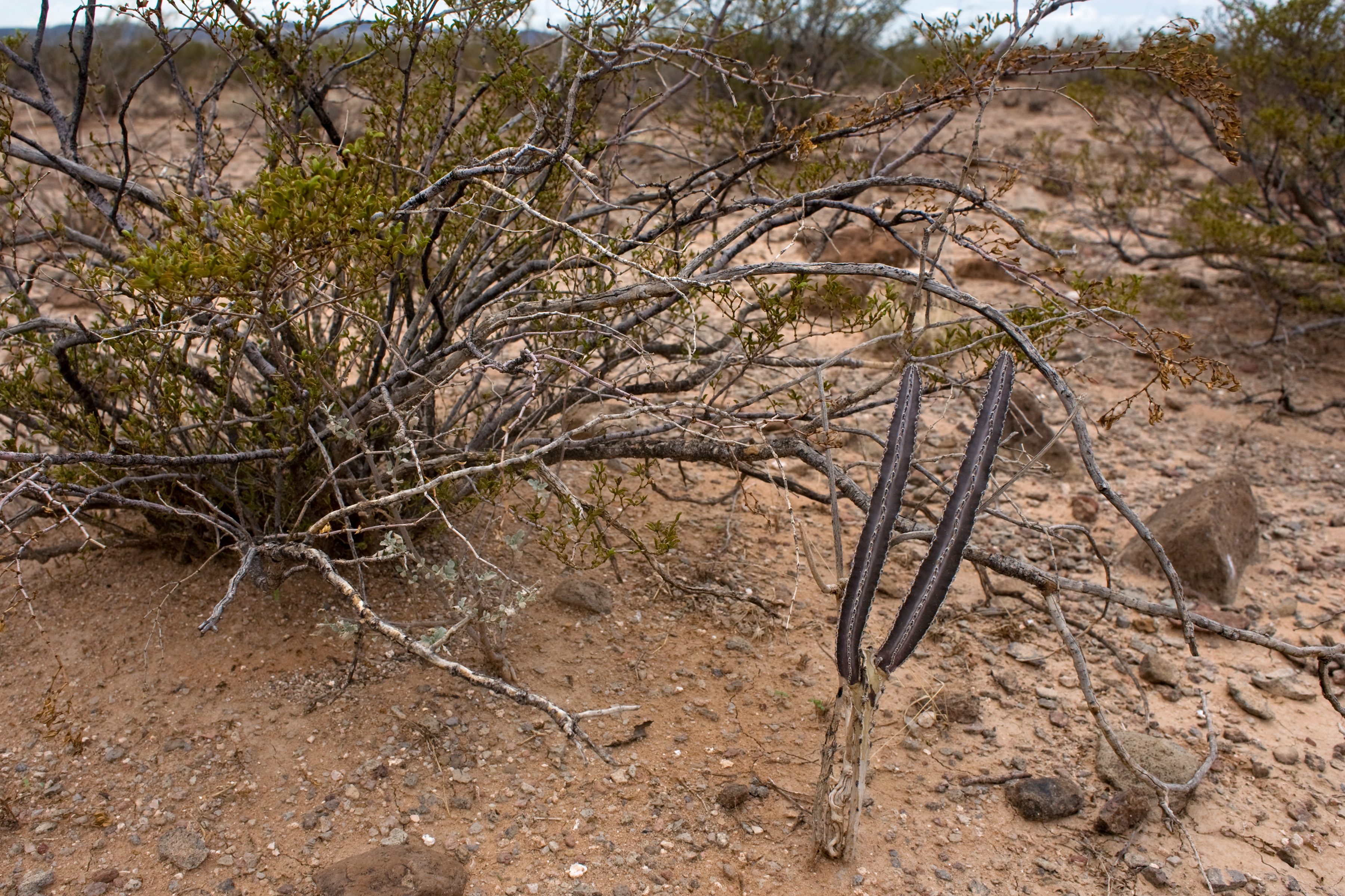
Finally, in an attempt to break the record for most pictures in a CLM blog post (if there is such a thing) here are a bunch of Peniocereus greggii var. greggii that we found. The basic problem with these critters is that they generally look an awful lot like dead sticks, and they usually live in the middle of shrubs (especially Larrea tridentata). This makes spotting them difficult. I think I’m getting the hang of it.

Yeah, that’s a lot of pictures of Peniocereus greggii var. greggii. However, my guess is that this is an average of 1 per 3 miles walked. They’re out there, but they are sparse and not easy to spot…

CLM internship 2: more Dermatophyllum!

Greetings,

In my first post, I mentioned going to the Brokeoff Mountains to look for Dermatophyllum guadalupense. Since then, I have digitized some old survey maps for this species and, with Mike Howard, further explored its distribution.

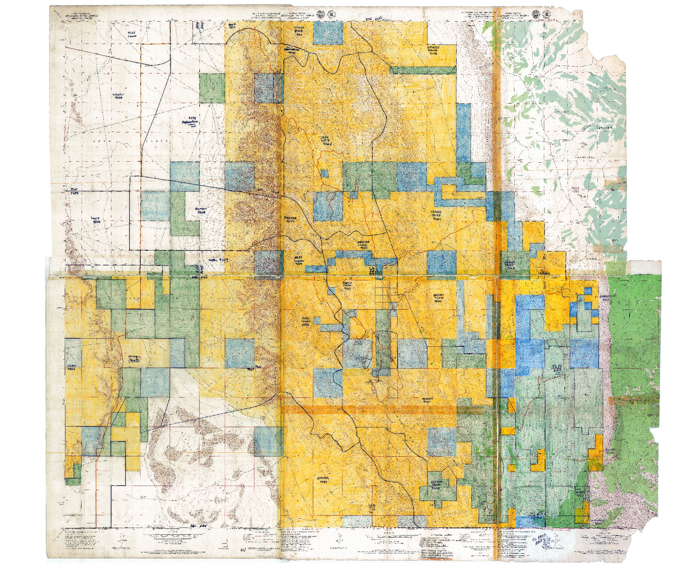
The Las Cruces District Office of the BLM funded some survey work for Dermatophyllum guadalupense in the late 1980’s. This being a while ago, there was no GIS. There were GPS units, barely, but they were big, heavy, expensive, and rarely used by biologists. So plant surveys were done the old-fashioned way. Head outside with USGS topo maps, wander around looking for plants, do your best to match up your wanderings and plant observations with the topos, and write on the maps. So we have an old survey map for Dermatophyllum guadalupense. It’s a set of USGS 1:24,000 topographic maps, cut and taped together to cover the survey area, hand-colored (with crayon, so far as I can tell) to show land ownership, and annotated by hand to show survey routes and locations of plants. Given the modern capabilities of GPS units and GIS software, it is amazing that this approach was state-of-the-art so recently. But, if you knew what you were doing—and the botanist, Phil Clayton, did!—it worked pretty well. So, now, we can scan the map, georeference it, and display it in ArcGIS. Here’s the map, at its full extent:

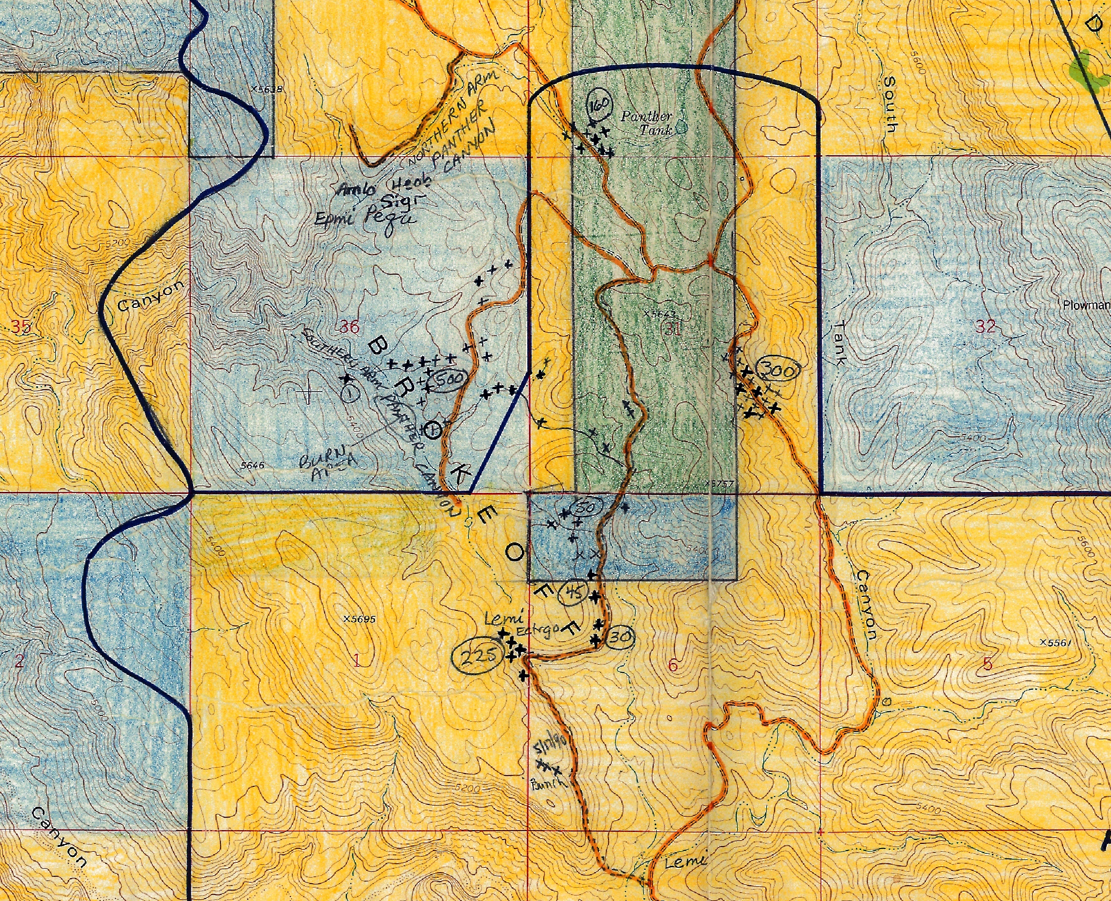
And here’s a portion of it, zoomed in to show plant locations:

I’ve georeferenced the map, so that it can be displayed in ArcGIS and viewed with other layers. This is a surprisingly straightforward process; basically, you load the scanned image in ArcGIS and then georeference it by clicking on points in the map, then clicking on the same point in a reference layer (for which I used previously scanned and georeferenced USGS topos in the LCDO’s GIS drive—since my reference layer is the same as the scanned map, except for the hand-colored land ownership and plant survey data, this is easy). So now we can look at the old survey map in a GIS context, compare it to aerial imagery, put coordinates on the surveyed plant locations, go outside and know we’re looking at the same place Phil Clayton did 25 years ago, and so on and so forth. Cool!

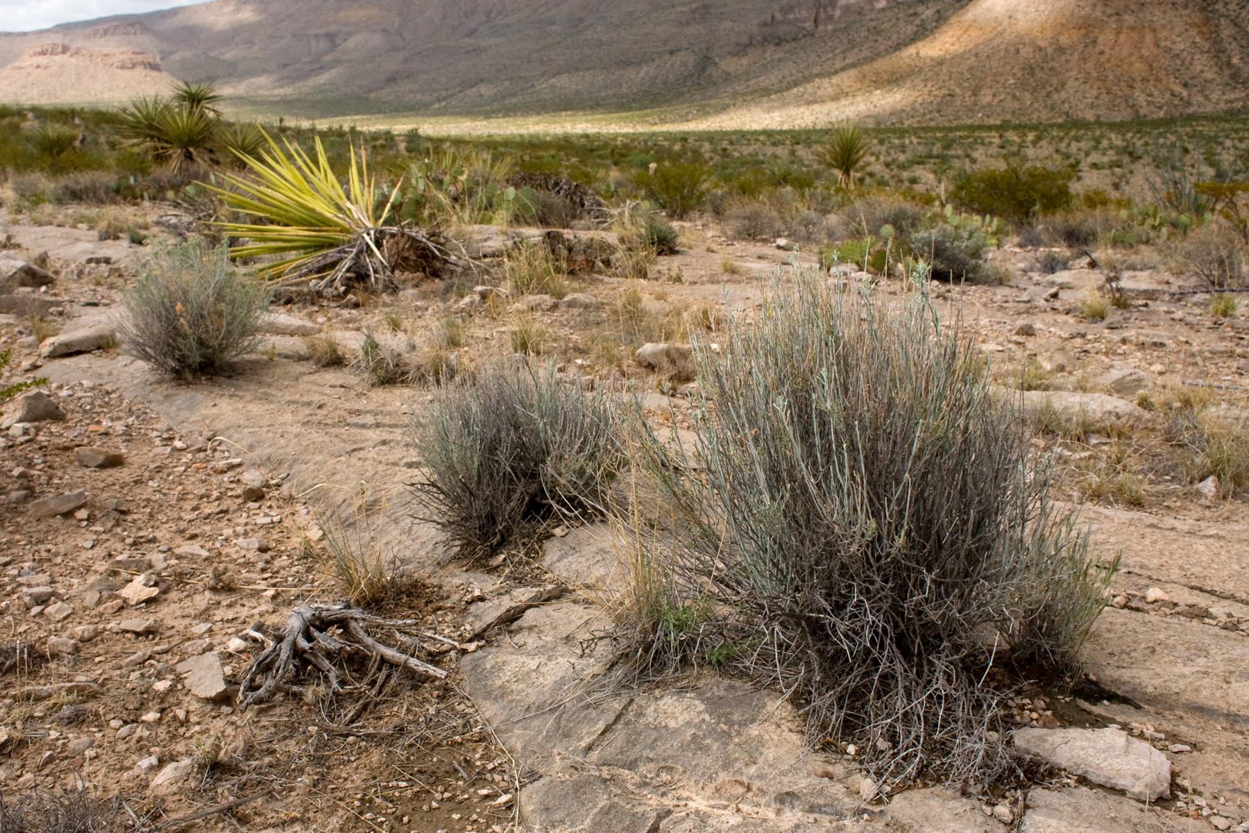
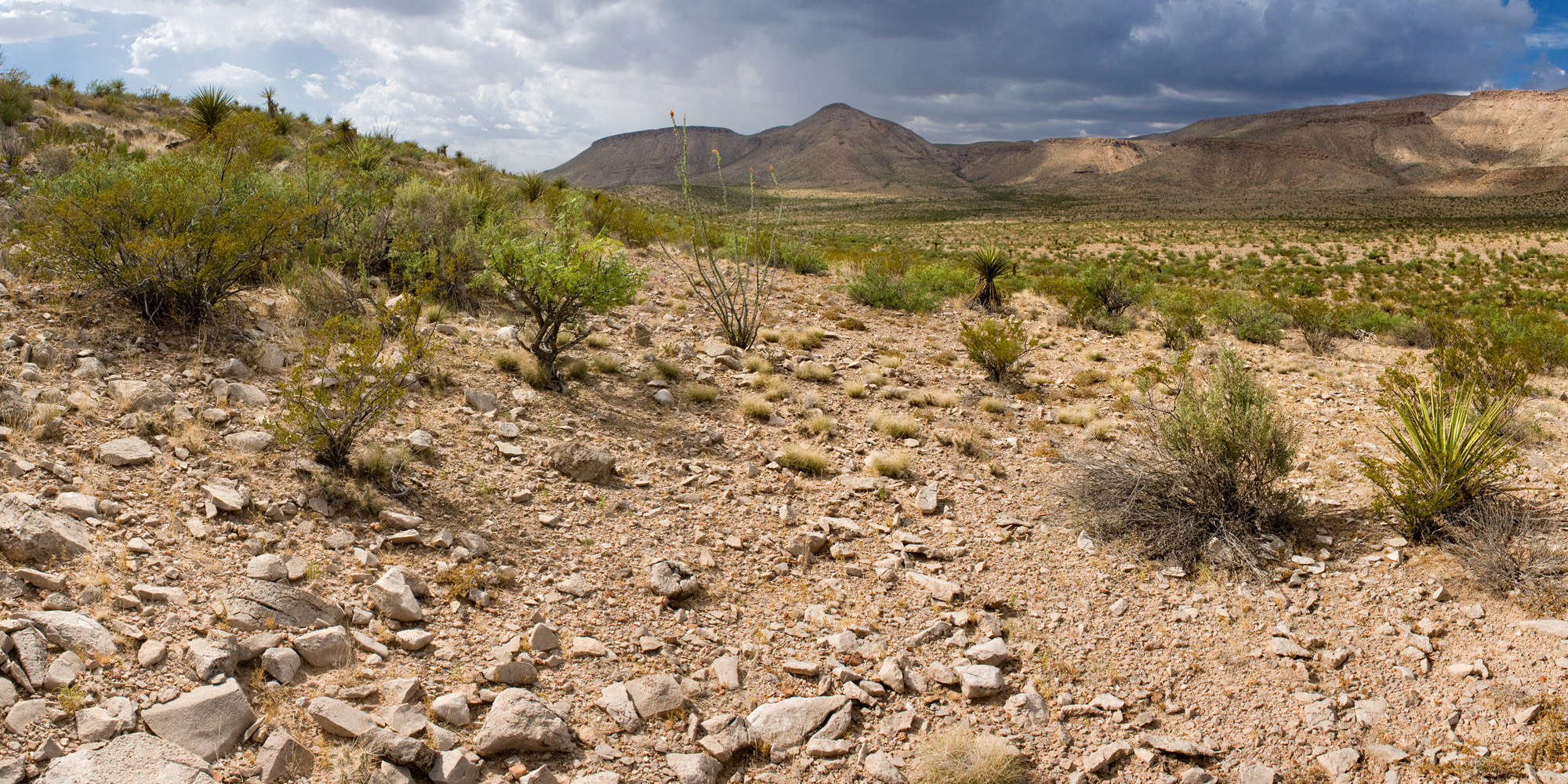
However, Phil Clayton did not get everywhere and survey everything. Mike Howard found some locations for Dermatophyllum guadalupense that are not in that map. He found three more plants near the end of a road that leads to a livestock water storage tank and had previously looked northwest of the tank, not finding any more Dermatophyllum guadalupense. So, on the third of July, we went out and, this time, wandered southeast of the tank. The short version is: we did not find any more Dermatophyllum guadalupense. But, we got to go outside and examine the area:

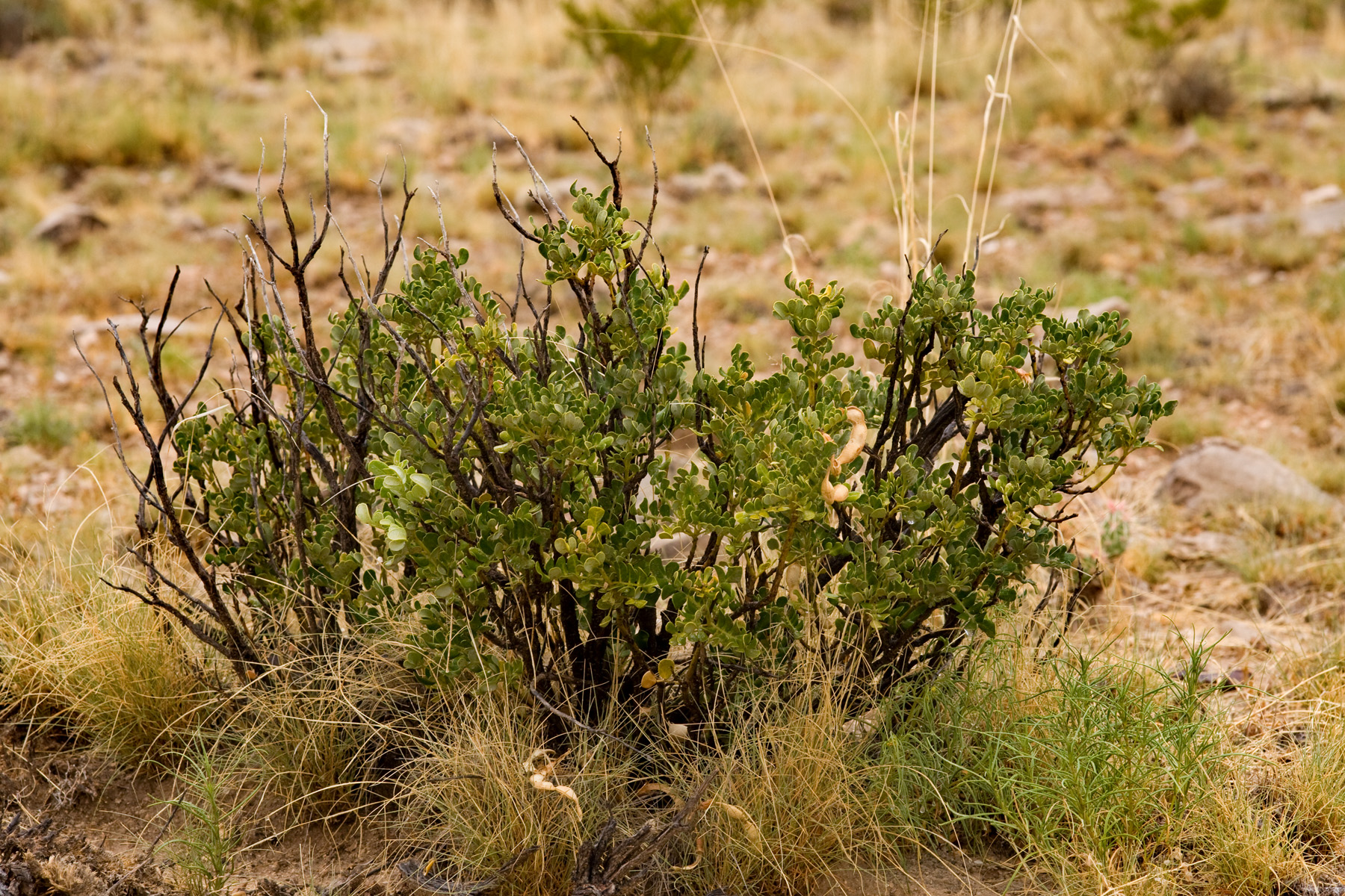
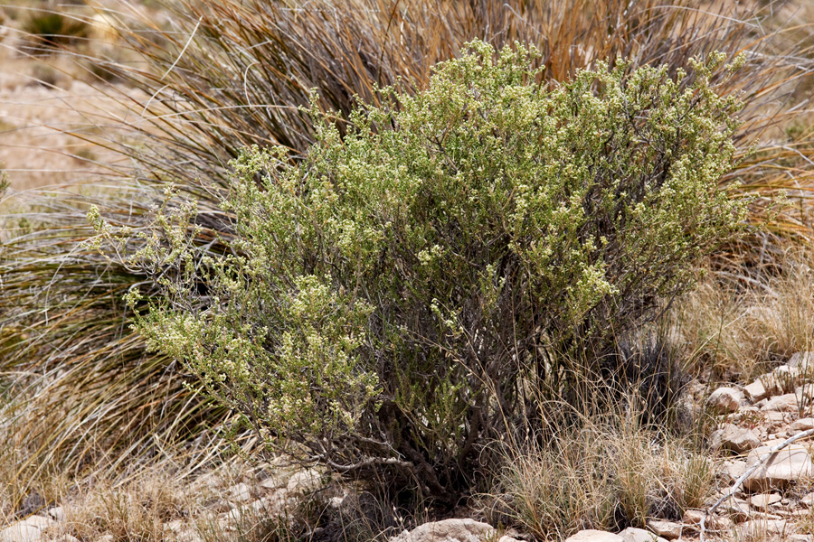
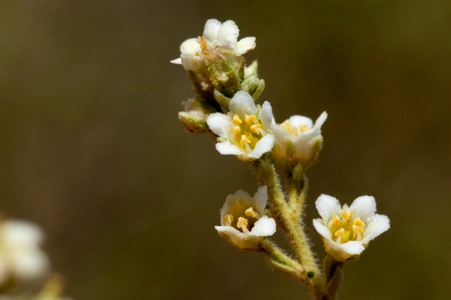
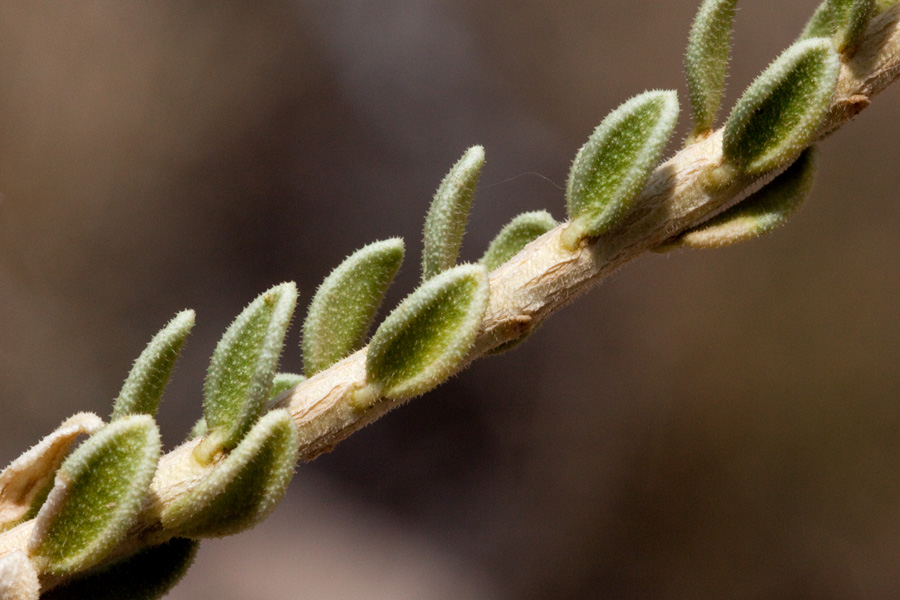
We also found another rare plant, Ericameria nauseosa var. texensis:

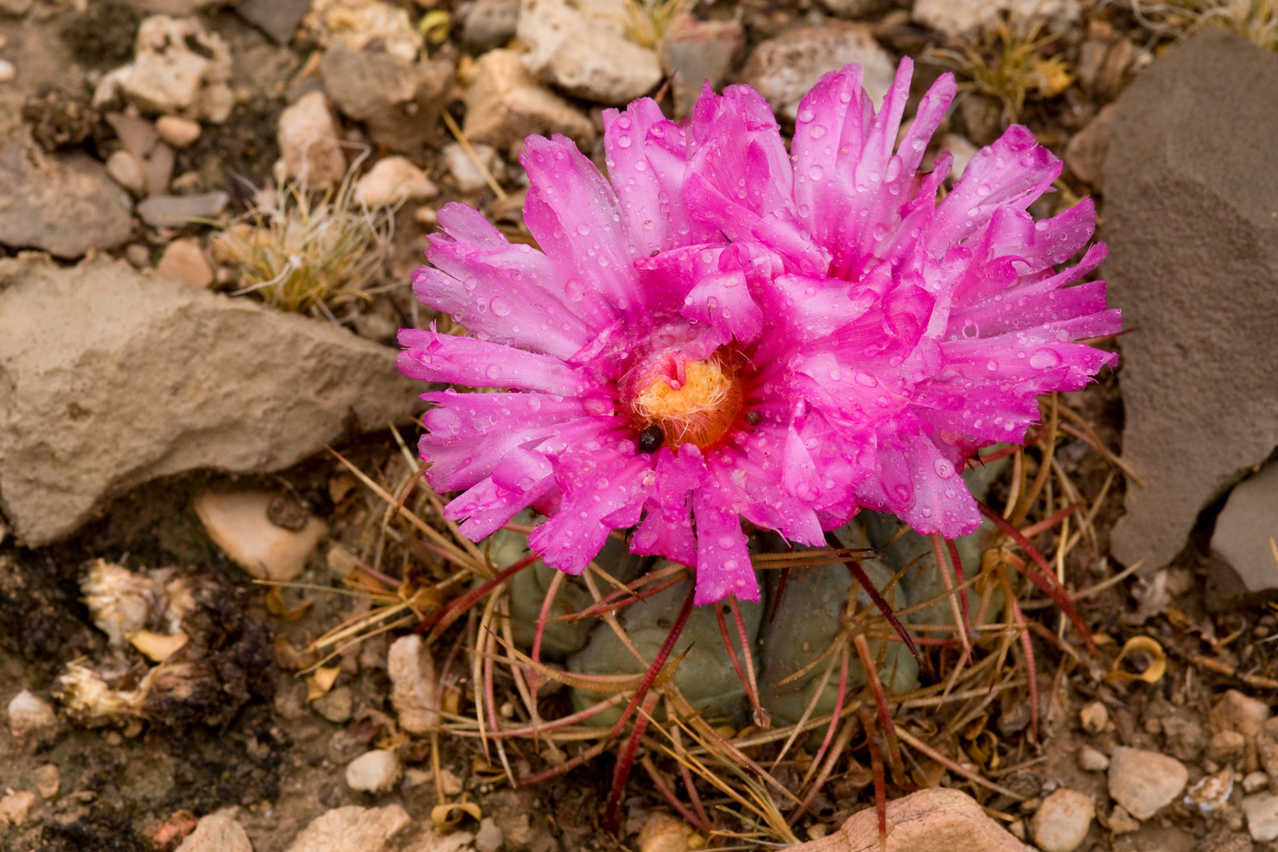
And Echinocactus horizonthalonius was flowering:

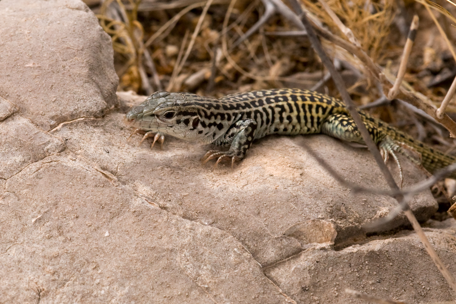
And whiptails (in this case, Aspidoscelis tesselata) were out:

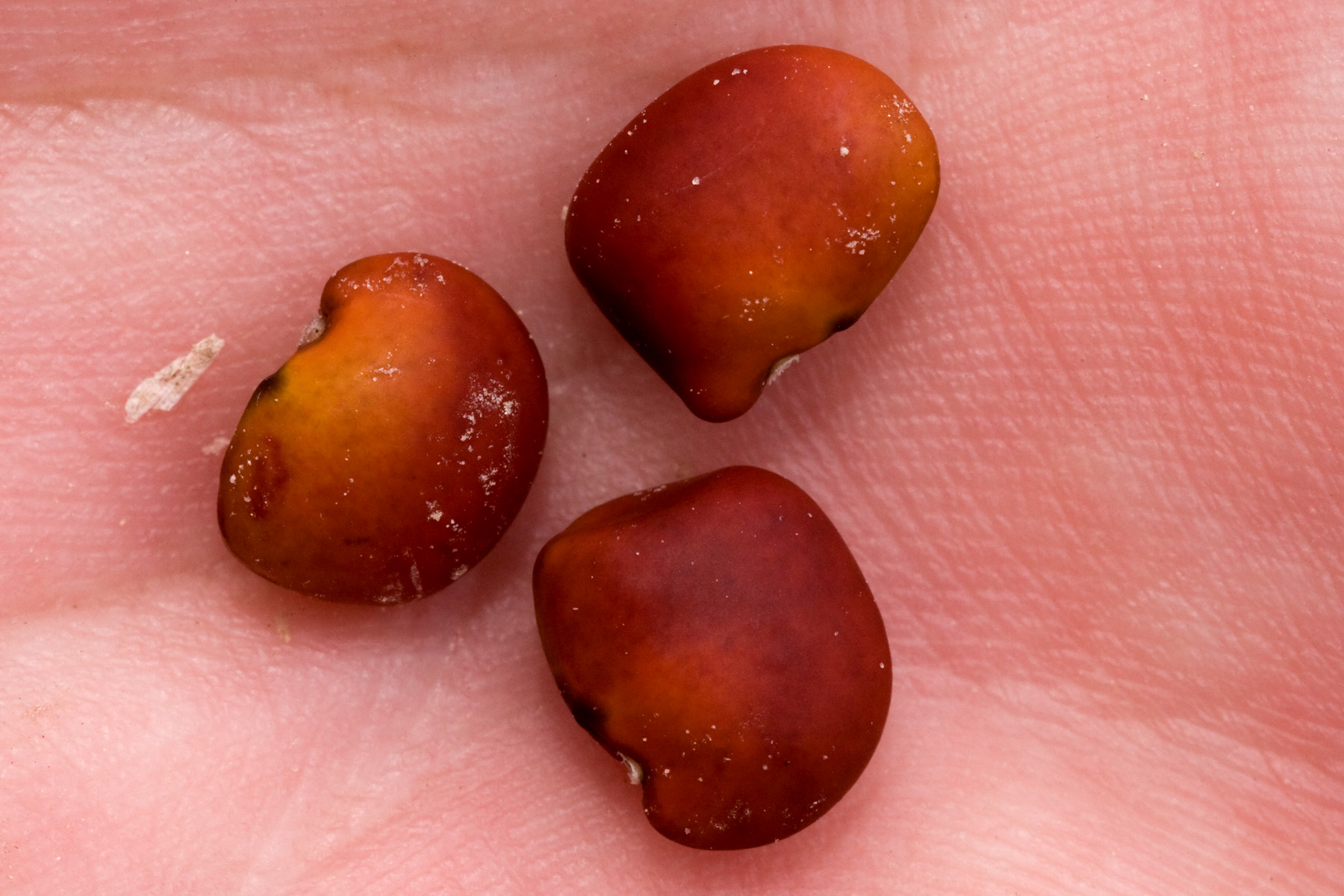
Also, if you were wondering what Dermatophyllum guadalupense looks like, well, here it is:

CLM Internship

The Chicago Botanic Garden hires interns to work with the BLM via the Conservation and Land Management Internship Program. These are typically 5-month internships but this year CBG has started 3-year internships that, it is hoped, will transition directly into permanent positions with the BLM. Right now, there are two of these 3-year interns, one in Taos and… me. Luckily, my internship is with the Las Cruces District Office of the BLM, which means I do not have to move and can continue to enjoy the many wonders of southern New Mexico. Among other things, CLM interns are expected to contribute to the CLM intern blog, so I will be writing there periodically… and will reproduce those posts here. So, here’s the first one:

Hello all, this is my first post. I’m at the BLM Las Cruces District Office in southern New Mexico. Unlike most CLM interns, I did not move here for the internship—I’ve been here for a decade. I went to grad school at New Mexico State University and, since graduating, have been trying to stick around one way or another. I may be biased, but there just aren’t many places that can compete with southern New Mexico. We have desert, mountains, lots of biodiversity, and lots of public land. It’s rarely cold, but can get a little warm in the summer. If we’re lucky, we get both winter and summer rains. Las Cruces is a bit too close to Texas, but no place is perfect.

Since starting my internship a month ago, the bulk of my time has gone to training of various kinds: getting the various necessary authorizations to drive governmental vehicles and whatnot, learning not to poke / sniff / eat potentially hazardous substances found in the desert, being baffled by the various different shared hard drives and physical filing systems in use, familiarizing myself with the many intricacies of NEPA and the ESA, getting to know ArcGIS (I’ve spent plenty of time with GIS, but not Arc), and so on and so forth. After a decade in the area I already know the plants fairly well, so that part of the learning curve isn’t too steep. Since none of that is terribly exciting, here are some photographs from one of my days in the field.

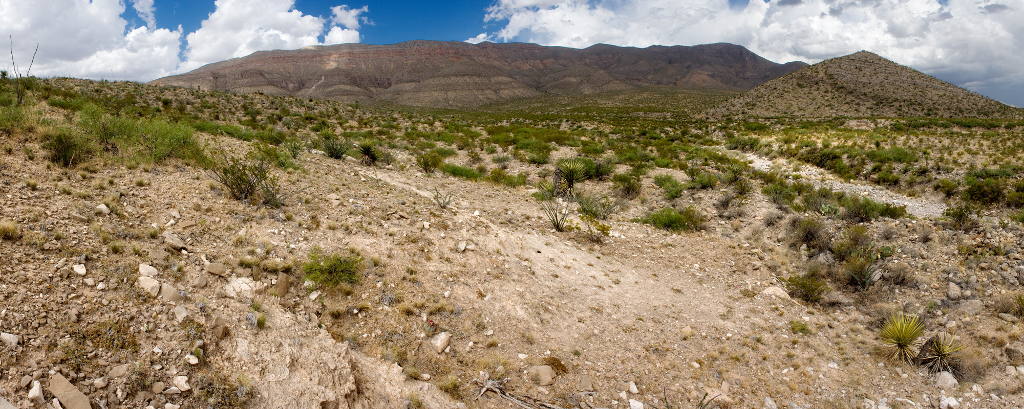
On June 15th, Mike Howard (state botanist for NM BLM and one of my two mentors) and I went out to the Brokeoff Mountains to look at Dermatophyllum guadalupense, a rare leguminous shrub. Mike has been nailing down the precise distribution of this species, so we checked a couple of questionable localities. The Brokeoff Mountains are mostly limestone (or limestone-ish things like dolomite), only get up to 6,600 feet elevation or so, and are mostly untreed:

While there, I took some pictures of Mortonia scabrella, a shrub that is abundant in the Brokeoff Mountains but otherwise rarely found in New Mexico. My long-term goal is to photograph all plant species that occur in New Mexico. This puts me one closer to that goal:

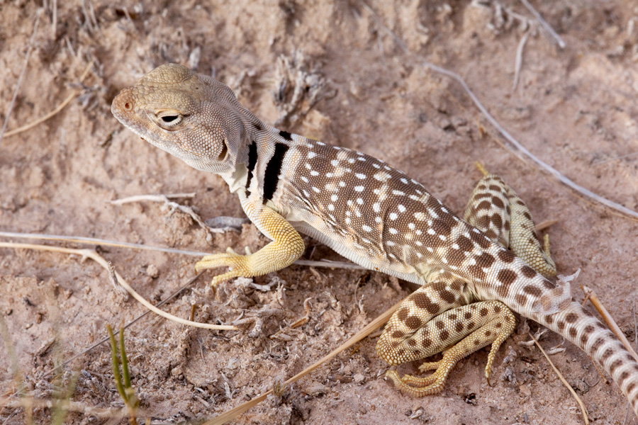
We then headed over to Alkali Lakes (a note to readers not familiar with New Mexico: the word “lake” generally indicates a place where water might theoretically pool given sufficient rainfall rather than an existing body of water) to get some stem cuttings of Lepidospartum burgessii, a shrub found only on gypsum at Alkali Lakes. We sent the cuttings off for tissue culture, since Lepidospartum burgessii rarely, if ever, produces viable seed. Possibly this is a reason it is rare. In any case, it would be convenient if we had some way to propagate the thing. Unfortunately, we heard a couple of days ago that these cuttings have not done well in tissue culture—most have succumbed to fungi. Fortunately, this is an excuse to go outside again to get more cuttings. I don’t have pictures of Alkali Lakes or Lepidospartum burgessii, so here’s a collared lizard:

Funastrum cynanchoides sensu lato in New Mexico

Taxonomy of this species is confused and has received little attention. The most recent treatment applicable to our area is that of B.L. Turner (2008; Phytologia 90(1): 36-40), in which he splits Funastrum cynanchoides into two species: Funastrum cynanchoides and Funastrum hartwegii. These have elsewhere been treated as two subspecies, with varying distinctions made between them. However, Turner’s treatment just doesn’t work. His key distinguishing the two is as follows:

1. Leaves broadly lanceolate, 2–4 times as long as broad, cordate at the base; flowers mostly white; corona vesicles widest above the middle — Funastrum cynanchoides
1. Leaves narrowly lanceolate, 5–10 times as long as broad; flowers purple or pinkish; corona vesicles widest below the middle — Funastrum hartwegii

Turner also states that the two differ in flowering times: “F. hartwegii flowering in spring; F. cynanchoides flowering in the late summer and fall”.

Going through these characters in the order in which they appear above, my experience is that: 1) Leaf shape certainly varies substantially in Funastrum cynanchoides sensu lato, but I’m not sure there is a line to be drawn here (the majority of plants fall clearly on one side or the other, but many do not); with regard to the bases of the leaves, Turner omits any description of the shape of the base of the leaf for Funastrum hartwegii but the plants I have seen with narrow leaves typically have hastate leaf bases but may have cordate bases or even cuneate bases as leaves are reduced towards the stem apex; 2) Flower color also varies, but here I am quite certain there is no line to be drawn and, worse, variation is not correlated with that in leaf shape (plants with broadly lanceolate leaves may have either pale or purplish flowers; plants with narrowly lanceolate leaves may have either pale or purplish flowers); 3) I do not know at all what distinction is to be made regarding the shape of the corona vesicles as I have not seen any Funastrum cynanchoides s.l. in which these might be described as “widest below the middle”–even in plants that definitely have both narrowly lanceolate leaves and purplish flowers and therefore would be presumably assignable to Funastrum hartegii! 4) I have never seen Funastrum cynanchoides flowering in spring in southern New Mexico, but only in late summer or fall.

So what are we to make of this? We have one character with, at best, marginally discrete variation (leaf shape), another with substantial variation uncorrelated to leaf shape that does not appear to be at all discrete (flower color), and two characters for which Turner mentions two character states where I have seen only one (corona vesicle shape and flowering time). One possibility is that we only have Funstrum cynanchoides in southern New Mexico (despite the map Turner provides showing both in the area) and that I am seeing some “abnormal” variants of that species. This would explain why I have seen Funastrum cynanchoides neither flowering in the spring nor with corona vesicles wider at the base (if I have not seen “proper” Funastrum hartwegii, it would not be surprising that I have not seen these character states). A second possibility is that the plants I have seen are in a hybrid zone between the two, and Turner does mention that he has seen specimens intermediate between the two purported species. A third possibility is that there is a single species with seasonal variation in flower and leaf morphology–i.e., that in Texas, the area of Turner’s primary focus, we have a single species that flowers in both spring and late summer / fall, and that the leaf and flower morphology typically differ between seasons. A fourth possibility is that this is simply one variable species, in which several characters show substantial but independent variation that Turner has shoe-horned into two species regardless. A fifth possibility is that Turner is actually distinguishing between Funastrum cynanchoides and Funastrum crispum. Both of the character states that he attributes to Funastrum hartwegii, but which I have not seen in Funastrum cynanchoides s.l., are found in Funastrum crispum–which, moreover, always has narrowly lanceolate leaves and purplish flowers! I do not have any particular basis on which to prefer one of these possibilities over the others. I also do not have any reason to believe his treatment of Funastrum cynanchoides s.l. as two distinct species is correct. The most conservative approach is to take the fourth possibility to be provisionally correct–this is just one variable species. Barring further insight into the taxonomy of Funastrum cynanchoides s.l., this is probably the best option. We might want to recognize two rather dubious subspecies, differing in leaf shape only, but from what I have seen that is about as far as we could go. Given that Turner’s key does not work, if we recognize two species… what characters are we to use to distinguish them and on what basis? In answering this question we have no good options and are adrift in taxonomic murk.

Unfortunately, this is a common situation in New Mexico botany. We have what appears to a fairly straightforward treatment, by an unquestionably talented and knowledgable botanist, which nonetheless falls completely apart on closer inspection. Until someone tackles these myriad taxonomic problems with real, quantitative data, we are stuck. We do not know how many taxa there are and we do not know how to distinguish them. The best one can do until the situation is resolved is, as I have attempted above, express the current state of confusion. This is a small example. The entirety of Cactaceae is in a similar–but dramatically worse–situation, for example. We need more taxonomists.

Mertensia in New Mexico

The key below may or may not work. It is my current best guess as to how to deal with Mertensia in the state and I offer it not because I have any particular confidence that it is correct, but because I think the other available treatments of Mertensia in New Mexico (and Colorado, for that matter) are worse!

Back in 1937, Louis Otho Williams published “A monograph of the genus Mertensia in North America” (Annals of the Missouri Botanical Garden 24(1): 17-159). There are problems with his treatment, but so far as I can tell it basically works. Nearing 80 years later, it appears still to be the best (and only synoptic) treatment of the genus in the U.S. Subsequently, names have been synonymized without any coherent rationale, characters have been misinterpreted, the distributions of various species have been expanded based on dubiously identified specimens, and so on and so forth. As a result, our understanding of Mertensia has been slowly and steadily mangled. The situation with Mertensia abundantly illustrates a general rule in taxonomy: After any monographic treatment of a genus, our understanding of its taxonomy doesn’t just stagnate, it declines. Whatever level of clarity and insight was achieved is slowly lost and buried under the compounded, piecemeal modifications (some well-justified, some not) of subsequent authors. This is not an absolute rule by any means and monographers can’t possibly get everything right. It is, however, a good guess that they got more right than anyone else. The problem, of course, is that the later dilettantes (myself included!) tend to assume they know better and, through being more recent if nothing else, tend to be believed. One way or another, a coherent synoptic view eventually disintegrates into a jumble of smaller taxonomic works, varying regional treatments, etc.

This brings me to the present. After a very long wait, someone has finally taken up the challenge of Mertensia. Mare Nazaire, presently of Rancho Santa Ana Botanic Garden, has completed a PhD on the genus and is working on the Flora of North America treatment for Mertensia. Based on what she has published thus far, it appears that Williams sometimes included distinct and relatively distantly related lineages either as varieties within a species or even lumped together within a single variety. Hopefully we will soon have a solid new synoptic treatment of Mertensia. In the interim, the key below is based primarily on Williams’ monograph, with adjustments in nomenclature based on the work of Nazaire. It may at least reduce some of the confusion. Or it may not!

1. Cauline leaves with prominent lateral veins; stems usually more than 4 dm tall; flowering late spring and summer
    2. Leaves minutely strigose on the adaxial surface, glabrous or with spreading pubescence on the abaxial surface; sepals 2.5–5 mm long, acute – Mertensia franciscana
    2. Leaves glabrous on both surfaces (minutely ciliate on the margins, often papillate on the adaxial surface); sepals 1.5–3 mm long, obtuse – Mertensia ciliata
1. Cauline leaves without lateral veins, or lateral veins very inconspicuous; stems usually less than 4 dm. tall; normally flowering in early spring, as soon as temperatures permit
    3. Stamens entirely within the corolla tube (filaments attached in the corolla tube and anthers not projecting beyond the throat) – Mertensia alpina
    3. Stamens mostly beyond the corolla tube (filaments attached near the throat of the corolla tube, anthers well beyond the throat)
        4. Cauline leaves glabrous abaxially, pubescent or glabrous adaxially
            5. Adaxial cauline leaf surfaces strigose, the hairs pointing towards the leaf margin (at a 45–90º angle to the central vein); sepals definitely strigose on the abaxial surface
                6. Sepals connate half or more of their lengths – Mertensia fendleri var. fendleri
                6. Sepals free to the base or nearly so (look carefully–they may be overlapping in the lower third and appear connate without close inspection) – Mertensia ovata var. ovata
            5. Adaxial cauline leaf surfaces strigose, pustulate, or glabrous (if strigose, the hairs directed toward the apex of the leaf, ± parallel to the central vein); sepals glabrous or very nearly so on the abaxial surface (but ciliate on the margins and, rarely, with a few very sparse trichomes on the abaxial surface)
                7. Corolla tube 3–6.5 mm long, the corolla limb equal in length or slightly longer; cauline leaves usually strigose adaxially – Mertensia lanceolata
                7. Corolla tube 7–9 mm long, the corolla limb slightly shorter; cauline leaves glabrous adaxially – Mertensia ovata var. caelestina
        4. Cauline leaves pubescent on both surfaces
            8. Sepals connate one half or more of their lengths – Mertensia fendleri var. pubens
            8. Sepals connate only at the base, free most of their lengths – Mertensia bakeri

Of the species known in New Mexico, Mertensia franciscana and Mertensia fendleri are by far the most abundant. Three others, Mertensia brevistyla, Mertensia fusiformis, and Mertensia oblongifolia, have been erroneously reported in the state. With the exception of Mertensia franciscana, misidentifications, misapplied names, and baffling synonymies abound in herbarium collections and southwestern regional treatments of Mertensia.

Thelypodium in New Mexico

A key to Thelypodium in New Mexico that I wrote a year ago, after finding existing keys for the genus in our area somewhat unsatisfying:

1 Stem leaves sessile, entire or rarely denticulate; pedicels stout, ca. 0.5 mm wide – Thelypodium integrifolium subsp. gracilipes
1 Stem leaves petiolate, at least the lower pinnately lobed; pedicels slender, ca. 0.25 mm wide (or stout in T. texanum)
    2 Sepals ascending at anthesis, bases of petals and stamens not directly visible; stamens erect, tetradynamous (the outer two conspicuously shorter than the other four); replum constricted between the seeds — Thelypodium laxiflorum
    2 Sepals and stamens spreading at anthesis, bases of petals and stamens directly visible; stamens ascending, equal in length; replum not constricted between the seeds
        3 Uppermost stem leaves pinnately lobed; mature fruits stiffly horizontal to ascending, usually 1.3 mm wide or more – Thelypodium texanum
        3 Uppermost stem leaves entire or toothed, rarely with a couple of lobes near the base; mature fruits horizontal to reflexed, often drooping, usually 1.2 mm wide or less – Thelypodium wrightii

Some brief notes:

Thelypodium integrifolium subsp. gracilipes is basically a species of relatively moist, salty places (playas, alkaline flats, salty springs or washes, etc.) and is definitely present in the northwest corner of the state (San Juan County, probably Rio Arriba and McKinley counties as well) but has been reported from a number of other areas. Probably most of these are misidentifications, but I have not seen the specimens.
We have only one record of Thelypodium laxiflorum in the state, in San Juan County. Thelypodium integrifolium also has ascending sepals and fairly “closed” flowers; this feature is quite obvious on live plants but can be obscured in pressed specimens.
Thelypodium texanum has generally been known under the name Sibara grisea in New Mexico. It is found on and near limestone cliffs in southeastern New Mexico (Eddy and Otero counties).

Thelypodium wrightii occurs in a range of habitats, but I have seen it mostly in moist canyons at intermediate elevations (ca. 6000-7000 feet). This is the most abundant Thelypodium in the state by a wide margin. Consequently, misidentifications of Thelypodium in the state consist mostly of calling Thelypodium wrightii something else. This is the same kind of mistake that is common with Erysimum. I think this is a general rule: If one species in a genus is dramatically more abundant than the others, variation within that species is likely to be misinterpreted as representing the other, relatively rare, species. I think this results from an overestimation of one’s thoroughness in sampling. Surely, after seeing several hundred Thelypodium in New Mexico, you must have seen all four species in the state! Therefore, any variation you can observe must be the same variation discussed in taxonomic works on the genus. Of course, if one species is far more abundant than the others… you might have only seen that species. You might then spend hours trying to figure out how the variation within that one species can be forced to correspond with the published taxonomic work on the genus, which says there are four species in your area. And thus you are led astray. This, by the way, is why access to a comprehensive herbarium is often a necessity. Many errors can be avoided if you have specimens of the relevant species available to compare side-by-side. That said, misidentifications in Thelypodium are understandable with fragmentary specimens. For instance, the leaves of Thelypodium wrightii are progressively reduced as you move up the stem, becoming entire and nearly sessile near the bases of the inflorescences. If only the upper parts of the stems are collected (which is common, because Thelypodium wrightii can be 5-6 feet tall and will not easily fit on an herbarium sheet), this can easily lead to a misidentification of the specimen as Thelypodium integrifolium. The lower petiolate, pinnately lobed leaves can also senesce later in the season, causing the same confusion even if you have the whole plant in hand. In such cases, the narrow pedicels and widely spreading sepals of Thelypodium wrightii (vs. stout pedicels and ascending to erect sepals in Thelypodium integrifolium) should allow correct identification. Or, if in doubt, calling everything in the genus “Thelypodium wrightii” will result in the correct identification 90+% of the time!
Common southwestern NM plant families

Related to the last post, here are the 28 most frequent plant families in my plant community dataset. Plant families follow the Angiosperm Phylogeny Group III treatment.

Poaceae: 3119
Asteraceae: 2643
Fabaceae: 684
Cactaceae: 586
Amaranthaceae: 511
Euphorbiaceae: 416
Pinaceae: 369
Zygophyllaceae: 361
Brassicaceae: 357
Rosaceae: 314
Asparagaceae: 308
Polygonaceae: 301
Solanaceae: 235
Fagaceae: 199
Nyctaginaceae: 192
Malvaceae: 173
Boraginaceae: 168
Cupressaceae: 138
Convolvulaceae: 104
Plantaginaceae: 102
Ephedraceae: 100
Anacardiaceae: 94
Polemoniaceae: 93
Geraniaceae: 93
Ranunculaceae: 88
Portulacaceae: 83
Pteridaceae: 75
Lamiaceae: 71

Common plants in southwestern New Mexico

I’ve been slowly compiling a dataset that I hope will eventually be useful for answering interesting questions about plant communities. This consists of a series of points, each with a list of plants observed at that site (usually within a 10m radius) and almost all with a landscape photograph as well. At present, I have about 725 of these. They are mostly from the following counties in New Mexico: Catron, Doña Ana, Luna, Otero, Sierra, and Socorro–basically the Las Cruces District of the BLM and USFS lands adjacent to it–but also includes various other locations as I happen to visit them. The points are not selected randomly, but aren’t selected according to any kind of systematic plan, either. Some are BLM or Jornada Experimental Range monitoring sites, some are the result of hiking through an area out of curiosity and stopping every 3/4 mile or so to take a photo and get a list of plants, some are sites where I have gone in search of particular plants, etc. Various subsets were chosen in clearly biased ways, but I figure these more or less cancel out overall since these biases are not consistent across subsets. For the moment, I will use these data in the simplest way to answer a general question: what are the common plants in this area? So, here we go, the most frequent 69 (for no particular reason) species from my lists, each followed by the raw number of sites at which it was observed:

1. Larrea tridentata, 299
2. Muhlenbergia porteri, 284
3. Dasyochloa pulchella, 238
4. Gutierrezia microcephala, 177
5. Acourtia nana, 176
6. Prosopis glandulosa, 169
7. Parthenium incanum, 166
8. Bahia absinthifolia, 158
9. Eriogonum abertianum, 157
10. Bouteloua eriopoda, 138
11. Flourensia cernua, 135
12. Pinus ponderosa, 134
13. Bouteloua gracilis, 126
14. Pleuraphis mutica, 124
15. Bouteloua barbata, 116
16. Pseudotsuga menziesii, 115
17. Aristida purpurea, 114
18. Salsola tragus, 109
19. Scleropogon brevifolius, 108
20. Quercus gambelii, 108
21. Cylindropuntia leptocaulis, 107
22. Aristida adscensionis, 101
23. Solanum elaeagnifolium, 92
24. Bouteloua curtipendula, 92
25. Achillea millefolium, 90
26. Enneapogon desvauxii, 88
27. Opuntia macrocentra, 88
28. Yucca elata, 85
29. Cylindropuntia imbricata, 82
30. Thymophylla acerosa, 82
31. Croton pottsii, 78
32. Opuntia phaeacantha, 77
33. Poa fendleriana, 73
34. Tidestromia lanuginosa, 71
35. Yucca baccata, 70
36. Ephedra trifurca, 68
37. Chenopodium incanum, 68
38. Chamaesaracha sordida, 67
39. Hoffmannseggia glauca, 66
40. Geranium caespitosum, 61
41. Zinnia acerosa, 59
42. Gutierrezia sarothrae, 58
43. Panicum hirticaule, 57
44. Sporobolus contractus, 56
45. Sporobolus cryptandrus, 54
46. Muhlenbergia arenacea, 54
47. Allionia incarnata, 54
48. Juniperus deppeana, 54
49. Pinus edulis, 52
50. Dysphania graveolens, 52
51. Amauriopsis dissecta, 51
52. Kallstroemia parviflora, 50
53. Verbesina encelioides, 50
54. Artemisia ludoviciana, 48
55. Thalictrum fendleri, 47
56. Koeleria macrantha, 47
57. Rhus microphylla, 47
58. Bouteloua aristidoides, 45
59. Dalea formosa, 45
60. Juniperus monosperma, 44
61. Chaetopappa ericoides, 44
62. Artemisia carruthii, 44
63. Menodora scabra, 43
64. Quercus grisea, 42
65. Sanvitalia abertii, 42
66. Boerhavia triquetra var. intermedia, 41
67. Setaria leucopila, 40
68. Koeberlinia spinosa, 40
69. Dasylirion wheeleri, 40

I’m not sure if there’s any take-home message here, except perhaps: if you want to know the flora of southwestern New Mexico, you might start with these. Or… if you see something written about the flora of southwestern New Mexico and it doesn’t include most or all of these, it is probably quite incomplete. If it includes something not on this list at high frequency, this is probably the result of either misidentification or coverage of a small and atypical subset of the vegetation of the area.

Erysimum in New Mexico.

I’ve been looking at Erysimum a bit recently, and by this point have looked at all of the specimens at NMC (New Mexico State University), SJNM (San Juan College), SNM (Western New Mexico University), and some of those at UNM (University of New Mexico). Originally I was just intending to update those at NMC, which had not ever been examined synoptically. The names on the sheets represented, consequently, the results of 120 years of varying taxonomy and misidentifications from the original collectors, with sporadic, not always helpful, annotations by other botanists. But I got sucked in and now I’ve seen enough Erysimum to have an opinion. Who knows, my opinion might even be correct! So below you will find a revised key to Erysimum in New Mexico followed by various comments:

1 Petals 11-30 mm long, 4-10 mm wide; plants biennial or short-lived perennials
     2 Fruits strongly ascending to erect, concolorous, pubescent with a mixture of sessile 2- and 3-rayed trichomes. . . Erysimum capitatum var. purshii
     2 Fruits horizontal to divaricate-ascending, striped (greyish and densely pubescent on the surfaces but greenish and glabrous, or nearly so, on the angles), pubescent with exclusively sessile, 2-rayed trichomes (or very few 3-rayed trichomes just below the style). . . Erysimum asperum
1 Petals 3-9 mm long, 1-2 mm wide; plants annual or biennial
     3 Many trichomes on the leaves, stems, and fruits 4- or 5-rayed; pedicels 1/3 to 1/2 (or more) the length of the mature fruits. . . Erysimum cheiranthoides
     3 All trichomes on the leaves, stems, and fruits 2- or 3-rayed; pedicels less than 1/4 the length of the mature fruits
          4 Plants annual; pedicels as wide as or slightly wider than the mature fruits; fruits horizontal to divaricate-ascending; blades of the petals primarily yellow, but white towards the claw. . . Erysimum repandum
          4 Plants biennial; pedicels narrower than the mature fruits; fruits strongly ascending to erect; blades of the petals yellow throughout. . . Erysimum inconspicuum

Erysimum capitatum var. purshii: This is the most common Erysimum in the state by a very wide margin. If you simply call every Erysimum in New Mexico “Erysimum capitatum var. purshii” you will be correct at least 90% of the time. So, if you don’t have time to measure petals or look at pubescence, just do that. The remaining <10% of the time, it's Erysimum repandum. The others basically fall within rounding error.

This taxon varies substantially in flower color, and it has been traditional in New Mexico to call plants with yellow flowers var. purshii and plants with orange to red flowers var. capitatum. However, this color variation has no particular relationship to other features of the plant. The two supposed varieties do not have different geographic distributions, or different ecologies (the really dark reddish flowers seem to be more common at higher elevations, but that’s about it), or different morphologies in any other aspect whatsoever. This is also a fairly arbitrary place to draw the line. You can find a continuum of flower colors from pure yellow to yellow-orange to orange to orange-red to red–and some of them even dry purple! So why segregate off “yellow” as one variety? We have no reason to think that drawing a line here has any particular biological or taxonomic meaning. If you want to talk about yellow-flowered Erysimum capitatum var. purshii, just say that they have yellow flowers and the same for orange- or red-flowered plants. There is no reason to create distinct taxa to do this. Basically, Erysimum capitatum var. purshii is a yellow-flowered plant that sometimes has darker flowers of various shades.

Incidentally, this is similar to the situation with Streptanthus carinatus. In New Mexico it is also basically a yellow-flowered plant. But sometimes the flowers are greenish, or white, or lavender, or have lavender sepals but yellow petals, or reddish, and so on and so forth. It has been common to call red-flowered plants “var. carinatus” and any-other-color-flowered plants “var. arizonicus“. This is pointless. If you have a character that shows dramatic variation, but for which that variation: 1) has no known correlation to other characters; 2) is basically continuous and does not allow one to distinguish clean natural groups… do not use this character to name taxa. Especially when the key ends up looking like this:

1 Flowers red… Streptanthus carinatus var. carinatus
1 Flowers yellow, or greenish, or white, or lavender, or some mixture of the above colors–but in any case not red!. . . Streptanthus carinatus var. arizonicus

In complicated groups in which such annoyances as hybridization and apomixis are frequent, perhaps other data will force you into creating such a key. If you have some other strong evidence suggesting that you have two distinct taxa but they don’t have nice clear morphological distinctions–OK, it’s inconvenient, but you don’t have any other good option. Feel free to write awful couplets like the above. However if all you have to go on is that you observed some variation in flower color do not do this. These are not taxa. Rant over and my apologies for the digression. Wait… where was I? Oh yes…

In any case, there is substantial variation within Erysimum capitatum var. purshii and it is tempting to try to use this variation to delimit taxa. I’m reasonably certain that flower color does not distinguish meaningful taxa. From a pragmatic viewpoint, the distinction between yellow and anything-but-yellow flowers is also kind of unhelpful. I’ve seen a number of specimens that have notes indicating the flowers were orange when fresh, while on the sheet they are indistinguishable from the typical yellow-flowered form. The darker reddish flowers, on the other hand, typically remain reddish or turn purple when drying and are easy to spot. So, if we are going to cut this continuum of color variation at some arbitrary point, why not do so in a way that yields taxa that are morphologically distinguishable in herbarium specimens?

Whether or not other characters can be used to divide Erysimum capitatum var. purshii into meaningful taxa, I am not sure. One form that is sometimes segregated is Erysimum capitatum var. nivale, consisting of shorter, perennial plants in subalpine/alpine habitats. As with color variation, this appears to be simply an artificial line through continuous variation. Further, the variation in height & longevity is essentially what we should expect to see if we’re just looking at one taxon. Almost all plants grow more slowly and are shorter in more stressful conditions. This is such a widespread phenomenon that it would be surprising if a species that lives over the wide range of elevations & climates inhabited by Erysimum capitatum var. purshii did not have smaller, longer-lived individuals at stressful extremes of this ecological variation. Predictable and expected variations in plant growth in varying ecological conditions do not form a good basis for recognizing taxa unless there is some further evidence indicating that these variants are distinct entities (e.g., that the morphological variation is strongly multimodal rather than continuous, that it is correlated with distinct genetic groupings, etc.).
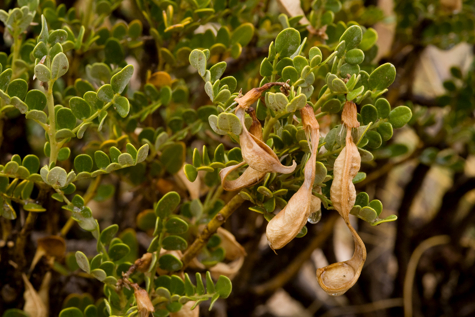
Erysimum asperum: If you are lucky, this species is easily distinguished from Erysimum capitatum var. purshii. In much of the state, this seems to be the case. Erysimum asperum is a species of the Great Plains that is peripheral in New Mexico; definite specimens are limited to the northeastern quarter or so of the state. In the southern three-quarters or so, you only find definite Erysimum capitatum var. purshii and life is easy. Unfortunately, however, throughout the northern quarter of the state and even into northeastern Arizona there are plants that have fruits that are strongly ascending to erect (like Erysimum capitatum var. purshii) and striped with almost exclusively 2-rayed sessile trichomes (like Erysimum asperum). It is not at all clear to which species these plants properly belong. Perhaps fruit orientation varies in Erysimum asperum. Perhaps fruit pubescence varies in Erysimum capitatum var. purshii. Perhaps they are hybrids between the two. I do not know. Call them one, call them the other, no one can prove you wrong. Also these anomalous plants do pop up rarely in the rest of the state.

Erysimum cheiranthoides: The easiest species in the state to identify. Nonetheless, about 90% of the specimens in New Mexico that have been identified as Erysimum cheiranthoides are not this species. To my knowledge, there is only one definite record from New Mexico: R.C. Sivinski 5824 at UNM, from El Vallecito Ranch in Rio Arriba County. The rest are misidentifications of Erysimum repandum. Although inserting this into the key above doesn’t really play nicely with the rest of the key’s structure, one very easy way to distinguish these is that in Erysimum repandum the pedicels are about as thick as the fruits. From a distance, you can’t tell where the pedicel ends and the silique begins, it’s just one continuous arc. On the other hand, in Erysimum cheiranthoides, the pedicels are much thinner than the siliques, maybe 1/3 as wide. Also, the fruit is more upright than the pedicel, resulting in a nice and obvious angle between the two. I suspect the misidentifications are explained simply by the rarity of Erysimum cheiranthoides in our area. If you have not seen Erysimum cheiranthoides (and almost all New Mexico botanists have not!) it is easy to start second-guessing yourself and start looking at plants that are a little different thinking, “Well, OK, the pedicel is just a little narrower and just a hair longer…” However, if you see the two side-by-side, there is no question. They are clear as day. If you’re squinting and waffling it is not Erysimum cheiranthoides.
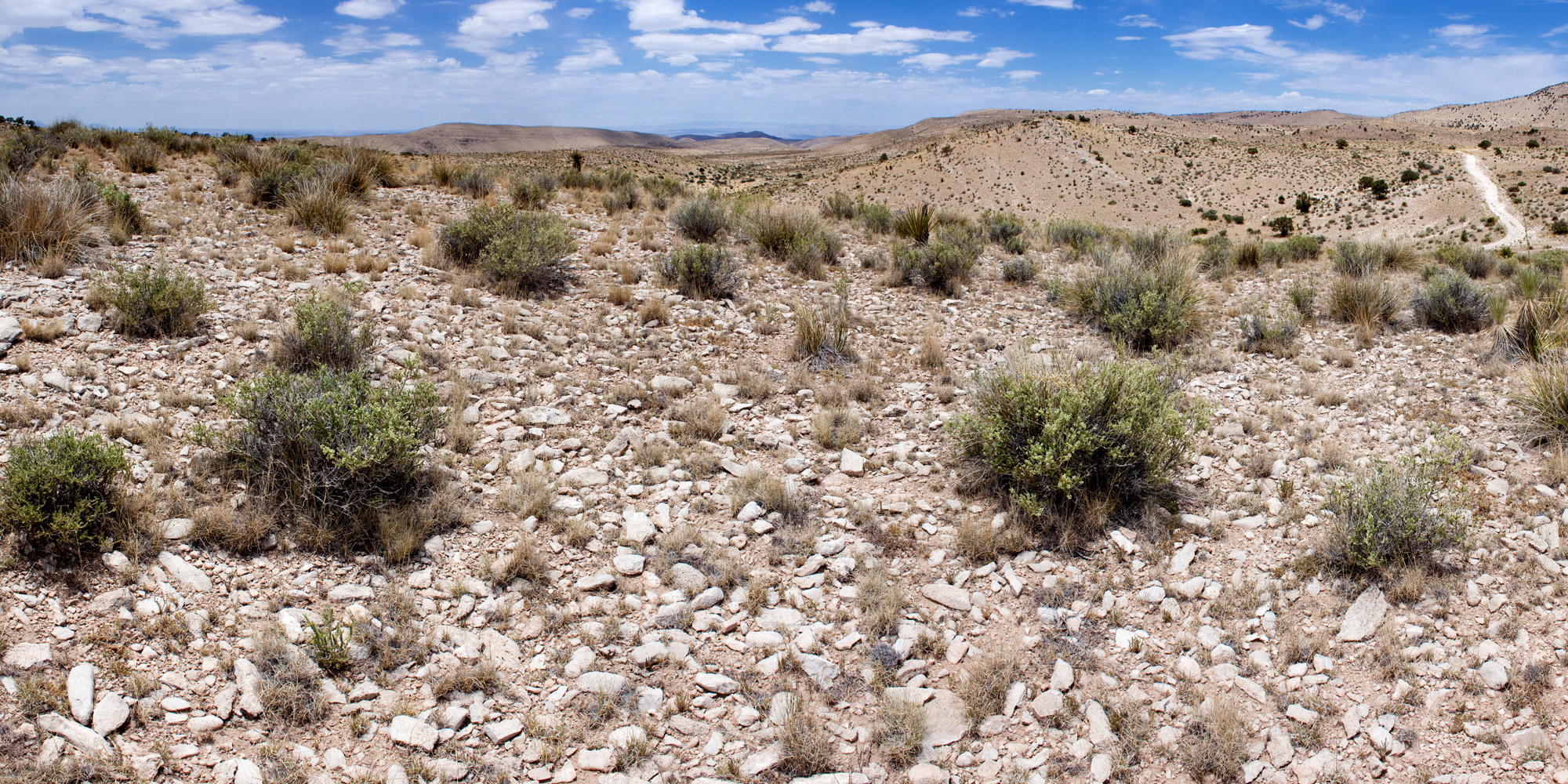
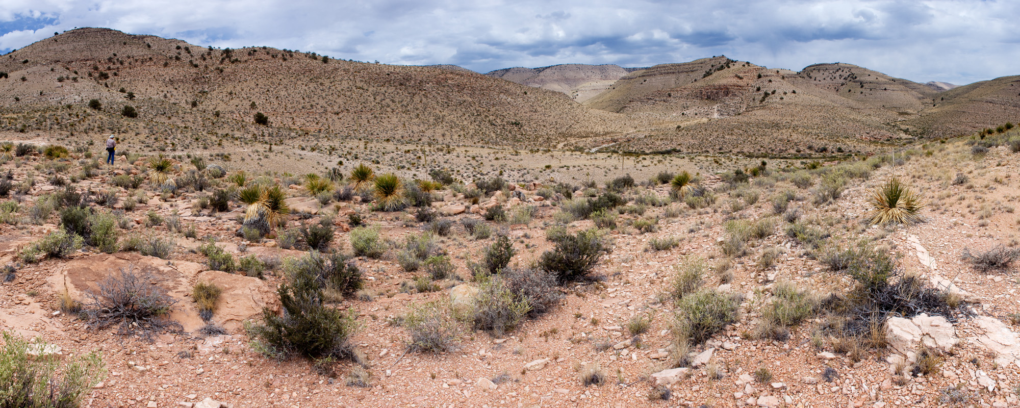
Erysimum repandum: I don’t really have anything interesting and/or humorous to say about this one. It’s an Erysimum. It’s pretty easy to recognize. If someone has called a plant Erysimum repandum, it almost certainly is. On the other hand, if someone has called a plant Erysimum cheiranthoides or Erysimum inconspicuum… it might actually be Erysimum repandum.

Erysimum inconspicuum: Like Erysimum asperum this is a tricky one. In its pure form, it’s not too difficult to distinguish from Erysimum capitatum var. purshii. However, in its pure form… it just doesn’t occur in New Mexico. The specimens in the state that are probably referrable to this species are questionable. They may be unusually small-petaled forms of Erysimum capitatum var. purshii or hybrids between Erysimum capitatum var. purshii and Erysimum inconspicuum. Commonly, the small end of the normal variation in petal size in Erysimum capitatum var. purshii is misidentified as Erysimum inconspicuum, and in the southern 3/4 of the state or so it is a reasonable assumption that all specimens identified as Erysimum inconspicuum fall into this category. For the northern 1/4, it really isn’t clear if there is a good line to be drawn here. It looks like a fairly arbitrary division of continuous variation. In the key above, I’ve described what is, near as I can tell, the typical petal size in definite Erysimum inconspicuum north of New Mexico. Expect plants in New Mexico to either be Erysimum capitatum var. purshii or to fall into the grey area between the two. Another feature that may help is that Erysimum inconspicuum sensu stricto seems to have blades of the petals that are strongly ascending, while those of Erysimum capitatum var. purshii are at a more or less 90 degree angle to the petal’s claw. Unfortunately, this feature is not always well-preserved in herbarium specimens.